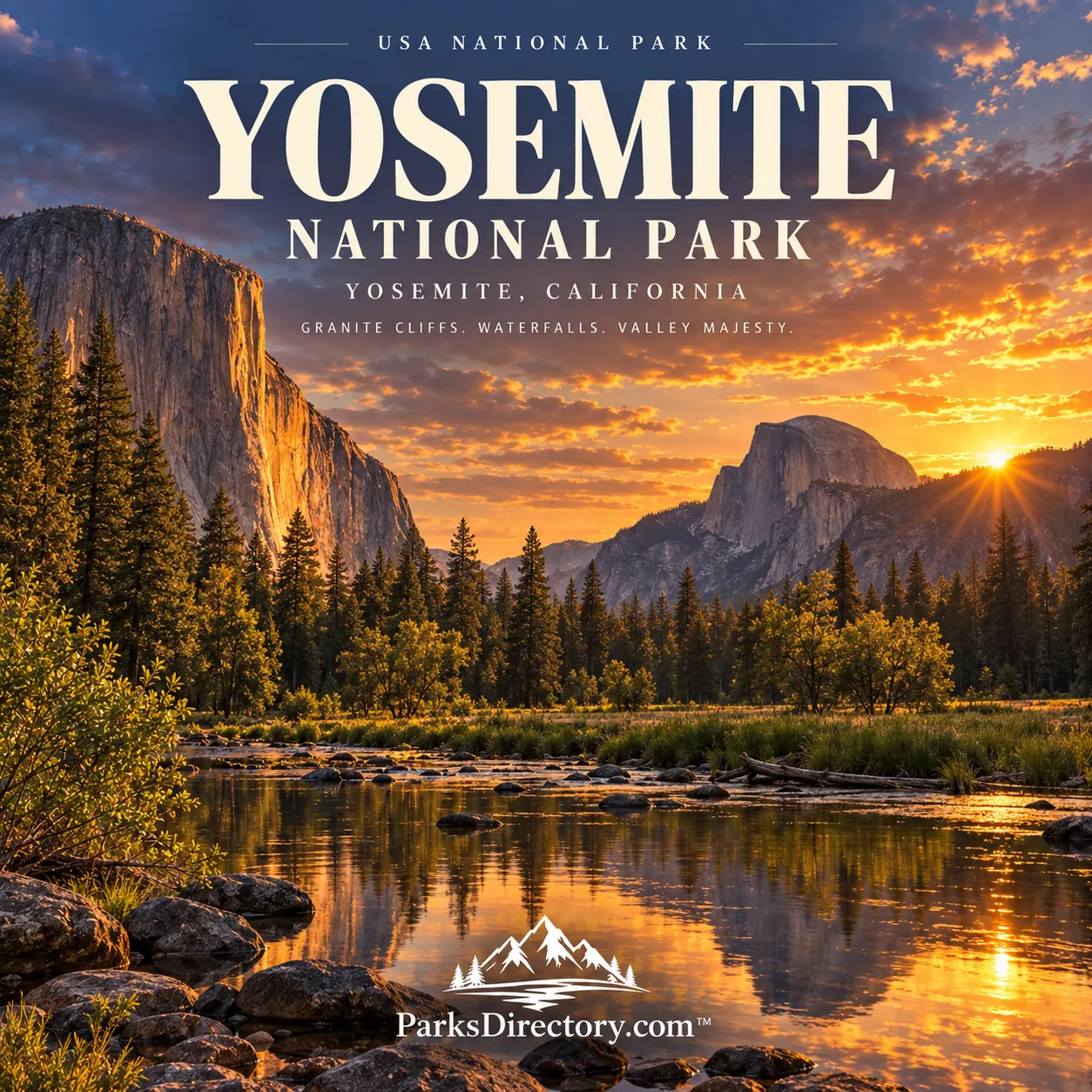
Yosemite National Park: Summary, History, Granite Valleys, and Giant Sequoias
ParksDirectory.com™ | National Park Summary & History
Yosemite National Park brings together several of the American West’s defining landscapes: waterfall-lined valleys, immense granite walls, ancient giant sequoias, and the open country of the High Sierra. Its familiar scenery is only part of its importance. Yosemite also helped establish the idea that exceptional landscapes should be protected for public enjoyment rather than surrendered entirely to private development. Understanding both stories makes its famous views more meaningful.[1]
Location, area, and the wider landscape
Yosemite occupies the central Sierra Nevada of California, extending into Mariposa, Madera, and Tuolumne counties. The NPS Geodiversity Atlas gives an approximate park area of 761,348 acres, or about 1,190 square miles. The park’s separate statistics page reports 759,620 acres of land and 704,624 acres of designated wilderness. These published figures use different reporting contexts; they should not be treated as interchangeable measurements. Together, they describe a protected mountain landscape far larger than Yosemite Valley alone.[2][3]
Indigenous homelands before the park
Yosemite’s human history extends thousands of years before federal protection. The Southern Sierra Miwok are among the Indigenous peoples traditionally associated with the area. The reconstructed Indian Village of Ahwahnee, behind the Yosemite Museum, interprets homes, food storage, ceremonial space, and community life. It also remains a place used by local Native people for gatherings, emphasizing that these connections are living relationships rather than a vanished past.[4]
The Gold Rush brought violent disruption. In 1851, the Mariposa Battalion entered Yosemite Valley during campaigns against Native communities. Forced removal, resource competition, and settlement transformed the region, although Indigenous people remained and continued adapting their lives within and around Yosemite. A complete account of the park must acknowledge this displacement alongside its conservation achievements.[5][6]
The Yosemite Grant of 1864
Yosemite’s protection began before its national-park designation. On June 30, 1864, President Abraham Lincoln signed the Yosemite Grant legislation, placing Yosemite Valley and the Mariposa Grove under California’s protection. The measure reserved these scenic places for public benefit during the Civil War, establishing a significant precedent for later parks.[7]
This was not yet the creation of Yosemite National Park. It protected two important areas through state administration. Galen Clark became an early guardian of the grant, while advocates, artists, and visitors helped build wider interest in preservation. The distinction between the 1864 grant and the later federal park explains why Yosemite has more than one important founding date.[6:1]
National-park establishment in 1890
Yosemite National Park was established on October 1, 1890. Protection extended beyond the original grant to surrounding mountain country and watersheds. John Muir and editor Robert Underwood Johnson were influential advocates, concerned particularly about damage from grazing in the High Sierra. Their campaign argued that protecting the valley required caring for the larger landscape around it.[2:1][8]
Administration remained divided until 1906, when Yosemite Valley and the Mariposa Grove joined the federally managed park. Muir’s 1903 visit with President Theodore Roosevelt helped advance that change. Thus Yosemite developed in stages: scenic protection in 1864, national-park creation in 1890, and reunification of the famous valley and grove with the surrounding park in 1906.[8:1]
How granite and glaciers shaped Yosemite
The cliffs began as molten material cooling deep underground, not as exposed walls standing above a valley. Erosion eventually uncovered the granitic rock, while uplift changed the region’s relief. Rivers cut into the rising mountains, and repeated glaciations widened and deepened valleys, leaving polished rock, rounded domes, and abrupt cliffs.[9]
El Capitan and Half Dome are the best-known expressions of this geology. Their massive forms contrast with the gentler meadows below, making the valley’s scale immediately apparent. Yet the landscape remains active: rockfall, flowing water, freezing, and weathering continue to change the scenery. Yosemite is therefore both a record of ancient processes and a place where geological change can still be observed.[9:1]
The waterfalls that define the valley
Yosemite Falls descends a combined 2,425 feet through an upper fall, middle cascades, and lower fall. Bridalveil Fall, Vernal Fall, and Nevada Fall add distinct shapes and settings to the park’s waterfall scenery. Snowmelt strongly influences these waters: spring commonly brings powerful flows, while some falls diminish dramatically later in summer.[10]
That seasonal character matters to the park’s identity. Yosemite is not one unchanging postcard. The same cliff can carry a roaring waterfall, a thin ribbon of water, or almost none, depending on snowfall, weather, and time of year. Its most familiar sights are inseparable from mountain hydrology.[10:1]
Mariposa Grove and the giant sequoias
In southern Yosemite, Mariposa Grove protects more than 500 mature giant sequoias. Trees such as the Grizzly Giant connect visitors with a different sense of scale: not simply the height of a cliff, but the depth of a forest’s history. The grove was central to the 1864 protection effort.[11]
Its modern history also illustrates changing conservation practice. A major restoration project addressed roads, roots, drainage, and visitor circulation, with the grove reopening in 2018. Protecting these trees involves more than preserving individual trunks; it requires attention to the surrounding habitat and the ways people move through it.[11:1]
Tuolumne Meadows and the High Sierra
Tuolumne Meadows reveals Yosemite beyond its famous valley. The Tuolumne River winds across open subalpine country beneath surrounding peaks and domes. Tioga Road links forests, lakes, and granite landscapes, while trails lead farther into the high country.[12]
This area also connects scenery with the park’s founding history. Muir and Johnson’s discussions about protecting the mountains emerged from their concern for places such as these meadows. Their significance is ecological as well as picturesque: what happens upstream affects the rivers and valleys below. Yosemite’s broad boundaries help preserve that relationship.[8:2][12:1]
Hetch Hetchy and the limits of protection
Hetch Hetchy adds a more contested chapter. Congress passed the Raker Act in 1913, authorizing a dam in the valley despite opposition from preservationists. The resulting reservoir, completed in 1923, became part of San Francisco’s water system. The debate exposed disagreements about whether a national park could also serve major resource-development projects.[13]
Today, the reservoir, surrounding cliffs, and waterfalls make that history visible. Yosemite’s legacy is consequently more complex than a simple triumph of preservation. It combines Indigenous continuity, displacement, public protection, engineering, scientific learning, and enduring arguments over stewardship. Its beauty remains compelling, but the history explains why safeguarding that beauty has always required choices.[5:1][13:1]
Sources
Research checked September 6, 2026. Acreage is approximate and its reporting context is identified above; historic and current NPS pages may publish different totals.
National Park Service, “Yosemite National Park.” https://www.nps.gov/yose/ ↩︎
National Park Service, “NPS Geodiversity Atlas—Yosemite National Park, California,” introduction. https://www.nps.gov/articles/nps-geodiversity-atlas-yosemite-national-park.htm ↩︎ ↩︎
National Park Service, “Park Statistics.” https://www.nps.gov/yose/learn/management/statistics.htm ↩︎
National Park Service, “Yosemite Indians.” https://www.nps.gov/yose/learn/historyculture/yosemite-indians.htm ↩︎
National Park Service, “People.” https://www.nps.gov/yose/learn/historyculture/people.htm ↩︎ ↩︎
National Park Service, “Stories.” https://www.nps.gov/yose/learn/historyculture/stories.htm ↩︎ ↩︎
U.S. Capitol Visitor Center, “S. 203, A Bill authorizing a Grant to California of the Yosemite Valley and the Mariposa Big Tree Grove.” https://www.visitthecapitol.gov/artifact/s-203-bill-authorizing-grant-tocalifornia-yosemite-valley-andthe-mariposa-big-tree-grove ↩︎
National Park Service, “John Muir.” https://www.nps.gov/yose/learn/historyculture/muir.htm ↩︎ ↩︎ ↩︎
National Park Service, “Geology.” https://www.nps.gov/yose/learn/nature/geology.htm ↩︎ ↩︎
National Park Service, “Waterfalls.” https://www.nps.gov/yose/planyourvisit/waterfalls.htm ↩︎ ↩︎
National Park Service, “Mariposa Grove of Giant Sequoias.” https://www.nps.gov/yose/planyourvisit/mg.htm ↩︎ ↩︎
National Park Service, “Tuolumne Meadows and Tioga Road.” https://www.nps.gov/yose/planyourvisit/tm.htm ↩︎ ↩︎
National Park Service, “Hetch Hetchy.” https://www.nps.gov/yose/planyourvisit/hh.htm ↩︎ ↩︎