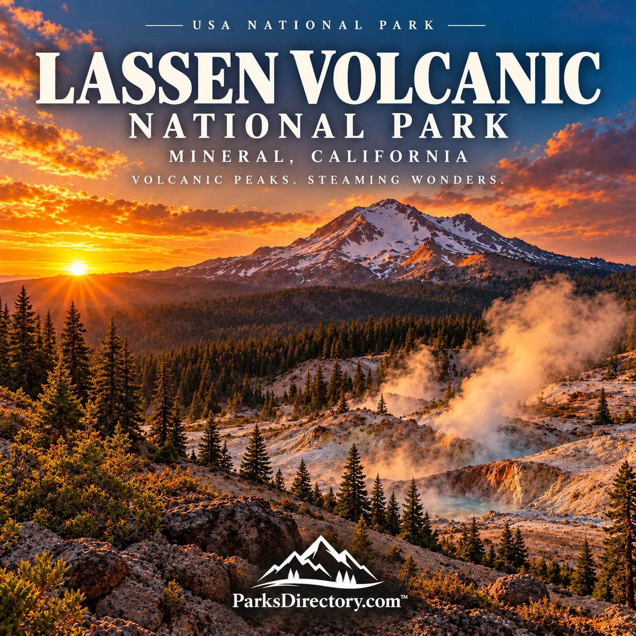
Lassen Volcanic National Park: The California Landscape That Still Breathes Steam
ParksDirectory.com™ | National Park Summary & History
A different California mountain park
Lassen Volcanic National Park is a landscape of contrasts. Snow can linger above steaming ground, quiet lakes reflect volcanic peaks, and forests grow across terrain transformed by eruptions. Located in northeastern California at the southern end of the Cascade Range, the park offers an unusually clear introduction to the forces that build mountains and then dismantle them. Its scenery is beautiful, but its greatest distinction is the visible relationship between beauty and continuing geological activity.[1][2]
Mineral, the community associated with the park’s mailing address, lies near its southwestern approach. The protected area extends well beyond that gateway into a high-country region of lakes, meadows, forests, volcanic cones, and hydrothermal basins. The Park Service’s press kit reports 106,505 acres, approximately 166 square miles. Other NPS inventories use slightly different acreages, so this article uses the press-kit figure consistently rather than combining totals from different records.[2:1]
From two monuments to one national park
President Theodore Roosevelt established Lassen Peak National Monument and Cinder Cone National Monument in 1907. They initially protected separate examples of volcanic scenery under Forest Service administration. Their existence demonstrated that the region’s geological value was recognized before the eruptions that later made Lassen famous throughout the country.[3]
Lassen Volcanic National Park was established on August 9, 1916, during Woodrow Wilson’s presidency. The new park combined the monuments with surrounding lands. It was created shortly before the National Park Service itself, placing Lassen within the early development of the American national-park system. Its later history includes expanded wilderness protection: roughly 79,000 acres received wilderness designation in 1972.[2:2][3:1]
The sequence distinguishes three important moments: initial monument protection, national-park establishment, and later recognition of wilderness values. They reflect changing ideas about what should be conserved, from individual geological landmarks to a broader landscape where natural processes can continue.[3:2]
Native homelands and seasonal gathering places
The Lassen region was a meeting area for Atsugewi, Yana, Yahi, and Maidu peoples. High elevations and heavy snowfall shaped seasonal use, with warmer months offering opportunities for hunting and gathering. These relationships long preceded the park’s modern roads, visitor centers, and scientific classifications.[4]
The name Kohm Yah-mah-nee, associated with Lassen Peak and used for the visitor center, recognizes an Indigenous understanding of the mountain. The park should therefore be read as a cultural landscape as well as a volcanic one. Its forests and meadows were not merely scenery waiting for outside appreciation; they were places understood through work, knowledge, stories, and recurring journeys.[1:1][4:1]
Migration routes and the name Lassen
Nineteenth-century migration added another layer. Routes associated with Peter Lassen and William Nobles crossed the region as newcomers sought ways into California. Portions of those emigrant trails remain part of the park’s historical record. The name Lassen commemorates one of these Euro-American figures rather than the beginning of knowledge about the mountain.[5]
For a visitor, the trails reveal a landscape that served different purposes at different times. A volcanic plateau could be a gathering place, a migration corridor, an object of scientific study, or a protected destination. National-park status did not erase those earlier meanings; it brought them into a new administrative framework.[4:2][5:1]
The eruptions that changed public attention
Lassen Peak erupted repeatedly between 1914 and 1921, with its largest explosive event on May 22, 1915. Rock, ash, hot gases, and snowmelt transformed the northeastern side of the mountain. The events made the region a particularly vivid example of an active volcano within the western United States.[1:2]
Benjamin Franklin Loomis photographed the eruptions, creating an influential record of the changes. His images helped people far from northern California understand that the mountain was not simply an ancient landform. Loomis later contributed to the park’s interpretation and visitor facilities, linking the history of photography with the history of conservation.[1:3][5:2]
The Devastated Area and features associated with the eruptions allow the landscape to be read as evidence. Recovery does not mean that the eruption ceased to matter. Trees, exposed rock, and altered slopes together show how disturbance leaves a long-lasting pattern that later generations can still examine.[6]
Four volcanic forms in one protected landscape
One of Lassen’s best-known distinctions is the presence of examples representing four commonly described volcano types. Lassen Peak is a lava dome, formed from relatively viscous material. Cinder Cone accumulated loose erupted fragments around a vent. Mount Harkness represents a shield volcano, while Brokeoff Mountain survives from a much larger composite volcano.[7]
These forms help explain why volcanoes do not all resemble the same symmetrical cone. Differences in erupting material and eruptive behavior produce different shapes. Later erosion complicates the picture further, turning an older volcano into ridges and separate peaks. At Lassen, a scenic overlook can become a practical lesson in how a mountain’s form records its history.[7:1]
Bumpass Hell and the hydrothermal landscape
Steam vents, mudpots, and hot springs show that heat remains below the surface. Bumpass Hell is the park’s most celebrated hydrothermal basin, but it belongs to a wider system rather than functioning as an isolated curiosity. Water circulating underground encounters hot rock and returns to the surface in striking, sometimes noisy forms.[1:4][7:2]
These areas are not safe equivalents of ordinary ground. Thin crusts can conceal dangerously hot water or mud. Established trails and boardwalks are part of how visitors experience the features without damaging delicate surfaces or exposing themselves to unnecessary risk. The spectacle is most rewarding when understood as an active system, not treated as a natural playground.[1:5]
Lakes, forests, and wilderness
Lassen is also known for mountain lakes and forest scenery. Manzanita Lake’s view toward Lassen Peak gives the park one of its characteristic compositions: dark conifers, reflective water, and a pale volcanic summit. Elsewhere, meadows and less-developed backcountry reveal how strongly snow and elevation shape the growing season.[2:3][3:3]
The extensive designated and proposed wilderness emphasizes that the park protects more than a roadside sequence of geological attractions. Natural quiet, dark skies, and ecological processes matter alongside dramatic landforms. For travelers, leaving time for a lake shore or forest walk can make the volcanic features more meaningful by showing the living communities around them.[3:4][7:3]
Lassen’s history is ultimately about continuing change. Indigenous seasonal knowledge, emigrant routes, twentieth-century eruptions, and conservation decisions all belong to the same place. Its most notable sights invite visitors to see a national park not as a finished monument, but as a landscape still being shaped.[4:3][5:3][7:4]
Sources
Research reviewed September 6, 2026. Area follows the NPS press kit, rather than a differently dated geological inventory; square miles are rounded. Historical eruption dates are not a statement about present volcanic alerts or trail availability.
National Park Service, “Park Brochure,” accessible HTML version. https://www.nps.gov/lavo/planyourvisit/park-brochure.htm ↩︎ ↩︎ ↩︎ ↩︎ ↩︎ ↩︎
National Park Service, “Press Kit.” https://www.nps.gov/lavo/learn/news/presskit.htm ↩︎ ↩︎ ↩︎ ↩︎
National Park Service, “Park Significance & Themes.” https://www.nps.gov/lavo/learn/management/park-significance.htm ↩︎ ↩︎ ↩︎ ↩︎ ↩︎
National Park Service, “American Indian Heritage.” https://www.nps.gov/lavo/learn/tribes.htm ↩︎ ↩︎ ↩︎ ↩︎
National Park Service, “People.” https://www.nps.gov/lavo/learn/historyculture/people.htm ↩︎ ↩︎ ↩︎ ↩︎
National Park Service, “Audio,” park highway interpretation and eruption landscape. https://www.nps.gov/lavo/learn/photosmultimedia/audio.htm ↩︎
National Park Service, “Volcanic Resources Summary—Lassen Volcanic National Park.” https://www.nps.gov/articles/000/volcanic-resources-summary-lassen-volcanic-national-park.htm ↩︎ ↩︎ ↩︎ ↩︎ ↩︎