Channel Islands National Park

Ventura, California · California outdoor places

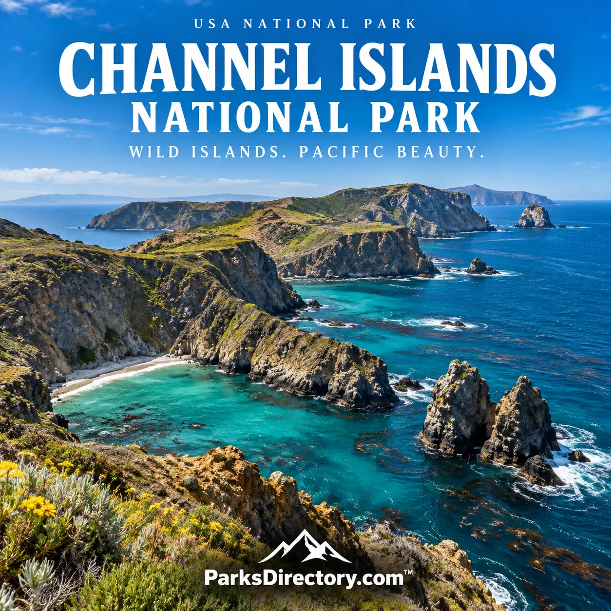
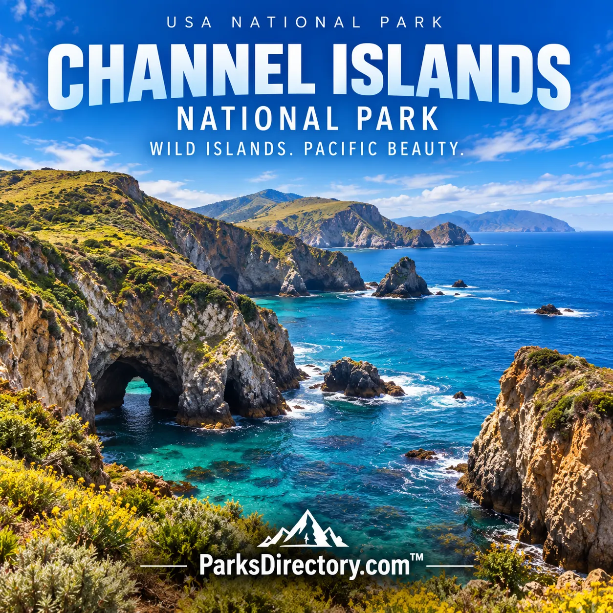
Channel Islands National Park Channel Islands National Park poster

History

Channel Islands National Park: California’s Offshore World of Islands, Wildlife, and Human History

ParksDirectory.com™ | National Park Summary & History

Location, size, and establishment

Channel Islands National Park protects five islands off the coast of Southern California: Anacapa, Santa Cruz, Santa Rosa, San Miguel, and Santa Barbara. Ventura is the mainland headquarters and an important point of connection, but the park itself is an offshore landscape. Its reported gross area is approximately 249,561 acres, or 390 square miles, including island land and surrounding marine waters. The protected boundary generally extends one nautical mile offshore; the acreage should not be read as dry land alone.[1][2]

The national park was established on March 5, 1980, when President Jimmy Carter signed its enabling legislation. Its predecessor, Channel Islands National Monument, dated to April 26, 1938, and initially protected Anacapa and Santa Barbara. The larger 1980 park brought five islands into one conservation framework. It does not include every island in the wider Channel Islands archipelago: eight principal islands belong to that geographical group, but only five belong to this park.[2:1][3]

An island homeland, not an empty wilderness

The islands preserve evidence of more than 12,000 years of human history. The northern islands supported Chumash communities whose lives were closely connected to the surrounding sea. Archaeological places, village locations, and the relationships between islands and mainland reveal a maritime cultural landscape, rather than isolated pieces of land awaiting modern discovery. Long before a visitor crossed the channel for recreation, people traveled these waters for food, exchange, community, and cultural purposes.[4]

European exploration introduced another chapter, followed by colonization and major changes in island life. During the nineteenth century, sheep and cattle ranches occupied substantial portions of Santa Cruz, Santa Rosa, and San Miguel. Fishing and marine-mammal exploitation also reshaped the surrounding waters. Ranch buildings, military remains, and offshore shipwrecks survive alongside much older archaeological evidence. Their proximity makes the park unusually effective at showing how different societies assigned different values to the same landscape.[4:1]

From lighthouse property to a five-island park

Federal protection developed gradually. In the 1930s, the Bureau of Lighthouses drew attention to the scientific value of Anacapa and Santa Barbara, and naturalists argued for their preservation. President Franklin D. Roosevelt’s 1938 monument proclamation recognized geological and scientific resources. Protection expanded into surrounding waters in 1949, an important acknowledgment that the islands could not be understood or conserved separately from their marine environment.[3:1]

The larger park required years of legislation and negotiation. Private ownership, military interests, and competing proposals complicated the process. The 1980 designation did not instantly convert every acre into federally owned land. Subsequent purchases and conservation arrangements brought additional properties under protection, while The Nature Conservancy retained an important role on Santa Cruz Island. This history explains why park boundaries, ownership, and public access are related but not identical concepts. A national-park map describes a protected area, not necessarily a single landowner.[3:2]

Geology and the importance of isolation

The islands belong to the complex geological story of coastal California. Their exposed rock records volcanic activity, sediment deposition, tectonic movement, and changing shorelines. Sea cliffs, arches, beaches, and caves show the continuing action of waves against that older foundation. Fossil discoveries add another dimension, connecting present islands with environments and animals that existed under different climatic and geographic conditions.[2:2]

Isolation is the park’s central ecological theme. Separation by water helped distinctive plants and animals develop, while the islands’ relatively small size made those communities vulnerable to introduced species and other disturbances. On land, coastal scrub and other island habitats meet cliffs and nesting areas. Offshore, kelp and marine food webs connect the park to the wider Pacific. The most rewarding overview therefore includes both sides of the shoreline: a rocky headland above water is only part of the living system.[5]

The sights that define the islands

Anacapa Island is especially associated with dramatic coastal views, including the outlook from Inspiration Point. Its broken island chain creates a recognizable arrangement of cliffs and water. Santa Cruz Island, the largest of the park’s islands, offers a broader interior landscape as well as striking coastal features around Cavern Point. These two settings illustrate the difference between an island experienced principally through its edges and one with a substantial inland world.[6]

Santa Rosa Island adds the sweeping shoreline of Bechers Bay and a strong ranching legacy. San Miguel Island is known for its exposed Pacific setting and the wildlife landscape around Point Bennett. Santa Barbara Island, despite its small size, has a distinct identity expressed in places such as Arch Point. Together, the five islands resist a simple ranking: their value lies in the range of environments and histories protected by the same park.[4:2][6:1]

Marine scenery is equally important. Dolphins, kelp, seabirds, and the changing surface of the channel can make the crossing feel like part of the park rather than merely transportation. The contrast with the nearby urban mainland is striking, but distance alone does not explain the difference. Conservation decisions, difficult access, and active resource management have all helped retain habitats that might otherwise have changed much more dramatically.[5:1]

What the park preserves today

Channel Islands is both a protected landscape and an ongoing restoration project. The National Park Service describes a long history of monitoring, protecting, and restoring island and marine resources. That work matters because a legal boundary cannot undo every consequence of ranching, introduced organisms, or changes in the surrounding ocean. Scientific observation helps managers distinguish natural fluctuations from problems that require intervention.[5:2]

For a reader approaching America’s national parks, Channel Islands offers an especially useful lesson: conservation is not always the preservation of a landscape that escaped human influence. Sometimes it is the careful recovery of places with long cultural histories and substantial ecological damage. The park’s beauty comes with that complexity. Its cliffs and quiet coves are memorable, but its greater significance lies in protecting the connections among islands, ocean, wildlife, archaeological places, and living cultural traditions.

Sources

Research checked September 6, 2026. Acreage is the rounded scope of the cited NPS figures, including marine waters, not a new boundary survey.


  1. National Park Service, Park Statistics. ↩︎

  2. National Park Service, Geodiversity Atlas: Channel Islands National Park. ↩︎ ↩︎ ↩︎

  3. National Park Service, Establishing Channel Islands National Park. ↩︎ ↩︎ ↩︎

  4. National Park Service, History & Culture. ↩︎ ↩︎ ↩︎

  5. National Park Service, Nature & Science. ↩︎ ↩︎ ↩︎

  6. National Park Service, Places To Go. ↩︎ ↩︎

Travel guide

Channel Islands National Park: California Beyond the Mainland

Channel Islands National Park begins where the road trip stops. A boat crossing replaces the highway, the coast becomes an offshore view, and ordinary conveniences become things you must plan rather than assume. The park protects five islands whose separation from the mainland has shaped distinctive wildlife, landscapes, and histories. A visit is more rewarding when you accept that island rhythm instead of trying to reproduce a mainland sightseeing schedule.[1]

For most first-time visitors, one island is enough for a full day. Choosing it carefully matters more than reaching several names on a list. Crossing time, landing arrangements, walking conditions, and the return sailing all belong in the same plan.

Begin at Ventura Harbor

The mainland visitor center at Ventura Harbor provides exhibits and advice that help explain the islands. It is also a worthwhile introduction for travelers who cannot make a crossing because of time, conditions, or mobility needs. An offshore visit normally requires transportation booked separately from camping or other activities.[1:1]

The five park islands are Anacapa, Santa Cruz, Santa Rosa, San Miguel, and Santa Barbara. They offer different experiences and do not all have equally frequent or straightforward visitor access. Santa Cruz and Anacapa are common choices for introductory day trips, but actual departures and landings depend on the operator and conditions.[2]

Check the exact departure harbor on your reservation. A general location label is not enough to identify the correct dock, and arriving at the wrong harbor can be difficult to remedy before sailing.

Choose an island for a reason

Santa Cruz offers a strong introduction to the park’s variety. Ridges, valleys, coastal cliffs, and the Scorpion area give visitors opportunities to combine walking with natural and historical interpretation. The National Park Service manages the eastern portion, while The Nature Conservancy owns much of the island farther west. Respect the applicable boundaries and access requirements.[3]

For another island, compare the walking, landing method, facilities, and time ashore before deciding. A remote camping experience has different demands from an introductory hike with children. More distant does not automatically mean better; it generally means more preparation and less flexibility once you arrive.

Ask the transport provider what the booking actually includes. A sightseeing voyage, an island landing, and a guided kayaking experience are not interchangeable products. Clear expectations make the visit easier to enjoy.

Walk with time to notice

Hiking is one of the simplest ways to appreciate the islands. Coastal perspectives change as a trail turns, while plants and birds can reward close observation. Choose a route that leaves a comfortable margin for returning to the boat rather than using every available minute for outward travel.[4]

Santa Cruz is associated with wildlife including the island fox and island scrub-jay. Bring binoculars when observation is a priority, and keep food secure. An animal approaching a picnic is a reason to improve food management, not an invitation to feed it.[3:1]

Set a modest destination and allow pauses. A shorter walk with time to compare habitats may reveal more than a fast circuit undertaken only for distance. Keep to established routes, avoid trampling vegetation for a better view, and remember that coastal edges deserve caution even on a bright, calm day.

Include the human story

Santa Cruz is known as Limuw in Chumash tradition, and the island’s history extends far beyond later ranching. Read the park’s interpretation as carefully as you study the scenery. The landscape is not empty simply because it lacks a modern town.[3:2]

Historic ranching features offer another layer of understanding. Ask how people obtained supplies, moved around the island, and changed the environment. Those questions connect the remains of buildings and roads with the living landscape around them.

Do not enter closed structures or cross restricted ground because an old track appears inviting. Cultural sites and natural habitats both need restraint. A respectful visitor takes away a more informed perspective without removing objects or creating new routes.

Treat the ocean as an activity of its own

Kayaking and snorkeling can provide a different view of the park, but they are not casual additions to improvise after landing. Cold water, wind, swell, and distance from assistance matter even when a sheltered cove looks inviting. Choose an outing that matches your experience and use appropriate professional guidance.[4:1]

Sea caves require particular judgment. A photograph cannot show the movement of water through a confined space, and a calm-looking entrance does not establish that conditions are safe. Ask what skills are required, what equipment is provided, and how the operator responds when weather changes.

The crossing itself deserves attention. Look outward and notice how the islands relate to the mainland. Marine wildlife may appear, but transportation is not a promise of a particular sighting. Enjoy the passage without making an encounter a condition for success.

Pack for limited services

There are no island restaurants or shops to repair an incomplete packing plan. Bring food, water, personal medication, and weather protection appropriate to your destination. Drinking water is available only at limited locations, including Scorpion Harbor on Santa Cruz and near Bechers Bay on Santa Rosa; confirm the arrangement for your exact outing.[1:2]

Keep equipment organized and protected from spray. A compact bag that is comfortable on a trail is more useful than several loose items that become awkward during boarding. Carry a separate way to contain rubbish, and keep the return instructions accessible without an internet connection.

Accessibility involves the boat, the landing, and the chosen island route. Ask detailed questions before booking. The facilities of a mainland visitor center do not describe the conditions you will meet at an offshore dock or beach.

A practical first-visit framework

Spend the first afternoon at Ventura Harbor, checking transport details and learning about the park. Prepare supplies that evening. Dedicate the following day to one island, listen to the arrival orientation, and choose one principal walk or guided activity.

A camping trip requires a different level of coordination. Match campsite and transport arrangements, understand food-storage and stove rules, and allow for weather-related disruption. Do not assume that an overnight reservation automatically includes a convenient return sailing.[1:3]

Build a generous margin before departure. The final part of the day should involve a relaxed walk back to the landing and a check of your belongings, not a race from a distant headland.

Keep the islands isolated in the right way

Clean footwear and inspect equipment before travel so that seeds, soil, or unwanted organisms do not accompany you. Follow restrictions on pets, fires, and collecting, and carry out everything you bring. Biosecurity is part of protecting the very differences that make these islands interesting.[5]

Channel Islands National Park is rewarding because it does not behave like the mainland. Accept the crossing and the limited services as part of the experience. With a focused itinerary and a light footprint, one island can provide a remarkably complete journey.

Sources

Prepared September 6, 2026. Suggested itineraries are editorial recommendations. Check official park alerts, reservations, and operating information before traveling.


  1. National Park Service, Plan Your Visit. ↩︎ ↩︎ ↩︎ ↩︎

  2. National Park Service, Places to Go. ↩︎

  3. National Park Service, Santa Cruz Island. ↩︎ ↩︎ ↩︎

  4. National Park Service, Things to Do. ↩︎ ↩︎

  5. National Park Service, Channel Islands National Park. ↩︎