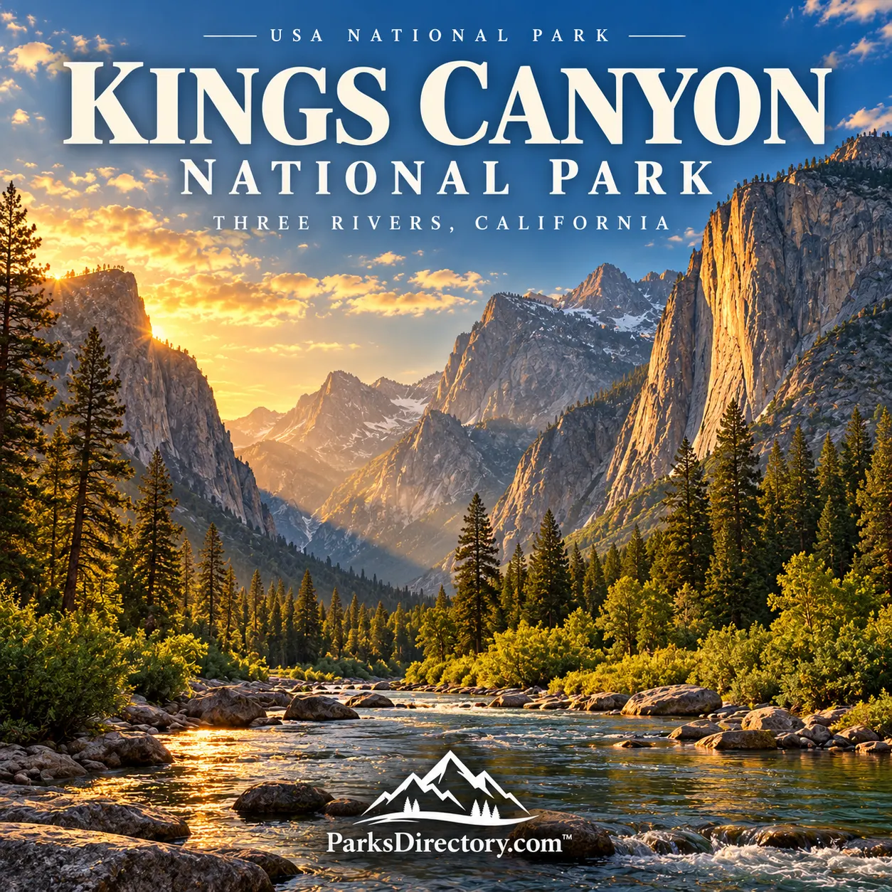
Kings Canyon National Park: Giant Sequoias, Granite Valleys, and High Sierra Wilderness
ParksDirectory.com™ | National Park Summary & History
Two landscapes within one park
Kings Canyon National Park combines two experiences that can seem almost like separate destinations. In Grant Grove, enormous sequoias rise from mountain forest. Farther east, the Kings River runs beneath steep granite walls, and beyond the road-accessible canyon lies an extensive wilderness of peaks, passes, and alpine lakes. Understanding both sides is essential: the park is neither merely a grove of giant trees nor only the canyon that gives it its name.[1]
Located in California’s southern Sierra Nevada, Kings Canyon covers approximately 461,901 acres, or 722 square miles. It is administered jointly with neighboring Sequoia National Park, but the two remain separate parks. The often-quoted combined acreage of more than 865,000 acres should not be assigned to Kings Canyon alone. Three Rivers is associated with the shared administration and the Sequoia approach, while Grant Grove and Cedar Grove are key Kings Canyon districts.[1:1][2]
From General Grant to Kings Canyon
The park’s conservation history began with protection of its giant trees. General Grant National Park was established on October 1, 1890, shortly after the creation of Sequoia National Park. This small predecessor protected the General Grant Grove at a time when logging threatened remaining sequoia forests. Its purpose was much narrower geographically than that of the later Kings Canyon park.[3]
On March 4, 1940, Congress established Kings Canyon National Park, abolished General Grant National Park as a separate unit, and incorporated its lands into the new park. Joint administration with Sequoia followed in 1943. The 1940 date is therefore the creation date of Kings Canyon, while 1890 marks federal protection of an important part of its present landscape.[2:1][3:1]
The case for a wilderness park
The movement to protect Kings Canyon developed within a larger debate about the Sierra Nevada’s future. Forests, rivers, and mountain valleys attracted competing interests, including recreation, resource extraction, and water development. Advocates argued that the high country and canyon landscapes deserved protection as connected wilderness rather than as isolated scenic objects.[4]
Photography helped communicate that argument. During the campaign for Kings Canyon, Ansel Adams produced images that allowed officials and the public to see landscapes they might never have visited. This approach followed earlier conservation efforts in the neighboring Sierra. The park’s history illustrates how visual representation could support legislation by translating remote mountain country into a subject of national concern.[5]
Protection continued after 1940. Cedar Grove and Tehipite Valley were added in 1965, and later wilderness legislation strengthened the conservation framework. These changes remind visitors that the present boundary was assembled over time. The familiar canyon district and the high wilderness did not all enter the national-park system in one legislative moment.[3:2]
People before the park boundary
The Sierra Nevada was a homeland and a network of travel, trade, and resource use long before national parks appeared on maps. Native communities knew its seasonal changes and used places across different elevations. Their history should not be replaced by a story beginning with Euro-American exploration or the first federal legislation.[4:1]
Later settlement, grazing, logging, and tourism altered the region. Early park protection also involved the United States Cavalry before the National Park Service existed. These layers of land use help explain why some places contain roads, buildings, or evidence of past disturbance even within a park celebrated for wilderness. Conservation preserved a lived-in landscape, not a region without previous human relationships.[4:2]
The giant sequoias of Grant Grove
The General Grant Tree is the park’s most famous individual organism. Its immense trunk and surrounding grove make the scale of giant sequoias tangible in a way that measurements rarely can. The tree was designated the Nation’s Christmas Tree in 1926 and a national living shrine in 1956, adding commemorative meanings to its biological importance.[3:3]
Grant Grove also introduces the broader sequoia ecosystem. The trees are not solitary monuments that can be protected independently of their surroundings. Soil conditions, moisture, neighboring vegetation, and fire all influence their survival and reproduction. The grove is therefore best understood as a living forest, with younger trees, fallen wood, and ecological processes as important as the largest trunks.[6]
Redwood Mountain Grove preserves another major concentration of giant sequoias within Kings Canyon. Its name can confuse visitors: these are Sierra Nevada giant sequoias, not the coast redwoods associated with northern California’s Redwood National Park. Distinguishing the species and their environments makes the diversity of California’s giant-tree landscapes easier to appreciate.[3:4][6:1]
Granite, glaciers, and the Kings River
The canyon landscape reflects the combined effects of uplift, river erosion, and glaciation. The Kings River and its tributaries cut into mountain terrain, while glaciers modified valleys in the high country and left characteristic broad profiles and steep walls. This interaction helps explain why different sections of the canyon do not all look alike.[1:2]
At Cedar Grove, the South Fork of the Kings River provides a natural focus. Granite cliffs, meadows, forest, and moving water create one of the Sierra’s most memorable valley settings. Zumwalt Meadow and nearby routes reveal the relationship between the river floor and surrounding walls. The scene is dramatic, but its appeal also comes from details: changing light on rock, the sound of water, and the contrast between open meadow and shaded forest.[7]
Beyond the end of the road
Roadside districts occupy only a small part of Kings Canyon. Much of the park lies in high-elevation wilderness, where trails connect lakes, passes, and mountain basins. The extensive protected interior is central to the park’s purpose, even for visitors who never travel beyond a short walk from the canyon road.[1:3]
This high country also functions as a watershed. Snow and mountain runoff feed rivers that connect the Sierra with communities and agricultural lands farther west. Protecting the landscape therefore has significance beyond scenic recreation. The park preserves an upstream system whose ecological condition and seasonal water cycle matter across a much larger region.[1:4]
Why Kings Canyon stands apart
Kings Canyon’s history moves from protecting a small grove to conserving a broad mountain landscape. That progression captures an important change in American conservation: recognition that remarkable trees, rivers, and valleys depend on larger ecological settings. Its most notable features are linked rather than competing attractions.[2:2][6:2]
A rewarding introduction combines time among the sequoias with an appreciation of the canyon and the wilderness beyond it. The General Grant Tree provides an immediate sense of scale; the Kings River reveals the power of landscape-forming processes; and the high Sierra gives the park its geographic breadth. Together they explain why Kings Canyon deserves its own identity beside its famous neighbor.[3:5][7:1]
Sources
Research reviewed September 6, 2026. Acreage is Kings Canyon alone, not the jointly administered two-park total. Square miles are rounded conversions. Historical and scenic descriptions do not imply that every road, grove, or trail is currently open.
National Park Service, Sequoia and Kings Canyon National Parks Foundation Document Overview, description and separate acreage. https://parkplanning.nps.gov/showFile.cfm?projectID=60663&sfid=244033 ↩︎ ↩︎ ↩︎ ↩︎ ↩︎
National Park Service, “Quick Fact Sheet.” https://www.nps.gov/seki/learn/news/quick-fact-sheet.htm ↩︎ ↩︎ ↩︎
National Park Service, “Fact Sheet,” historical dates and notable features. https://www.nps.gov/seki/learn/news/fact-sheet.htm ↩︎ ↩︎ ↩︎ ↩︎ ↩︎ ↩︎
National Park Service, “History & Culture.” https://www.nps.gov/seki/learn/historyculture/index.htm ↩︎ ↩︎ ↩︎
National Park Service, “Susan Thew: Unsung Heroine of Sequoia National Park,” discussion of the later Ansel Adams campaign. https://www.nps.gov/seki/learn/historyculture/susan-thew.htm ↩︎
National Park Service, “Objects or Ecosystems? Giant Sequoia Management.” https://www.nps.gov/seki/learn/nature/fic_obj_eco.htm ↩︎ ↩︎ ↩︎
National Park Service, “Cedar Grove” and “Cedar Grove Trails.” https://www.nps.gov/seki/planyourvisit/cedar-grove.htm ; https://www.nps.gov/seki/planyourvisit/cgdayhikesum.htm ↩︎ ↩︎