Joshua Tree National Park: Two Deserts, Extraordinary Trees, and a Conservation Campaign
ParksDirectory.com™ | National Park Summary & History
Where two desert landscapes meet
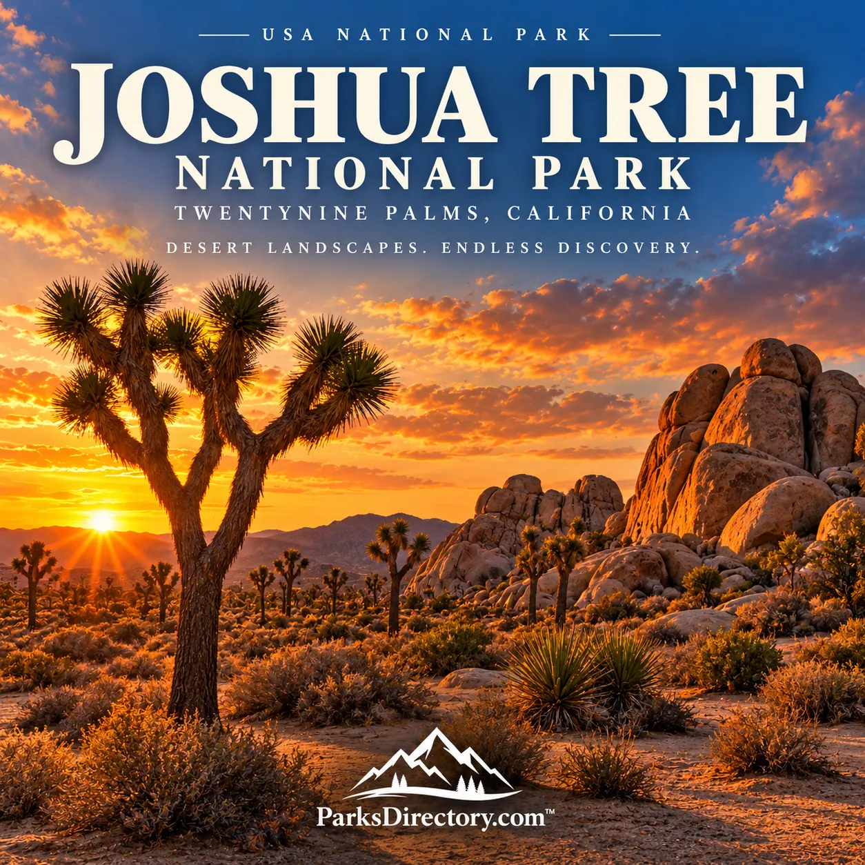
Joshua Tree National Park is immediately recognizable for branching yuccas standing among rounded rock piles. Yet that familiar image represents only part of the park. Across a broad section of southeastern California, higher Mojave Desert country meets the lower Colorado Desert, creating a landscape of contrasting plants, elevations, and geological forms. The park’s identity comes from the meeting of these environments as much as from its namesake tree.[1]
The park lies in Riverside and San Bernardino counties. Twentynine Palms is a major northern gateway and administrative community; the protected landscape extends well beyond the town. The National Park Service press kit reports 795,159 gross acres, approximately 1,242 square miles, including nonfederal inholdings within the boundary. This is a large desert landscape, not simply the boulder fields clustered around its best-known roads.[2]
President Franklin D. Roosevelt proclaimed Joshua Tree National Monument on August 10, 1936. The California Desert Protection Act of October 31, 1994, redesignated it as a national park and enlarged its protected area. Both dates matter: one marks the original federal monument, the other the modern park designation.[2:1][3]
A homeland before a monument
The region has long been connected with Native peoples, including Cahuilla, Chemehuevi, Serrano, and Mojave communities. Water sources, plants, travel corridors, and seasonal resources shaped human use of the desert. Places such as the Oasis of Mara are therefore cultural landscapes as well as natural features. Their importance cannot be understood only through the later stories of prospectors and tourists.[4]
Settlers subsequently established mines, ranches, homesteads, and other enterprises. These efforts depended on limited water and difficult transportation, and they left buildings, equipment, roads, and altered ground. The remains demonstrate that a landscape appearing empty from a modern highway could contain overlapping livelihoods and ambitions. Indigenous relationships with the region continued through these changes and remain part of the park’s present identity.[4:1]
Minerva Hoyt and the case for desert protection
Minerva Hamilton Hoyt played a central role in securing protection for Joshua Tree. At a time when desert plants were often dismissed as expendable or collected for ornamental use, she promoted their ecological and aesthetic value. Exhibitions and public advocacy helped audiences see the desert as a landscape worthy of preservation rather than as vacant ground awaiting development.[5]
Her campaign contributed to the creation of the national monument in 1936. The achievement is important because it expanded the popular idea of what a nationally significant landscape could look like. A desert without a great waterfall or a continuously flowing river could still possess extraordinary biological communities and scenery. Hoyt’s work helped make that argument visible to both officials and the wider public.[5:1]
Boundaries that changed with competing priorities
The original monument included roughly 825,000 acres. In 1950, its area was reduced by approximately 265,000 acres, excluding land associated with mining interests. Protection was therefore neither complete nor irreversible. The story of Joshua Tree includes decisions to remove land from federal conservation as well as campaigns to add it.[3:1]
The 1994 legislation added approximately 234,000 acres and established national-park status. According to the National Park Service, the revised boundaries better followed natural features and included more complete ecological units, including entire mountain ranges. This detail helps explain why acreage matters beyond the headline number. Boundaries can either divide connected habitats or give managers a better chance of protecting the processes that sustain them.[3:2]
What a Joshua tree really is
A Joshua tree is a yucca, not a cactus. Its stiff leaves and branching form are adaptations to a demanding environment, and its reproduction involves a close relationship with yucca moths. The plant’s unusual silhouette is visually memorable, but its ecological relationships are equally distinctive. Recognizing it as part of a community gives the landscape more depth than treating each tree as an isolated sculpture.[6]
Joshua trees are most closely associated with the park’s higher Mojave Desert terrain. In the lower, warmer Colorado Desert, the vegetation changes, and the namesake trees may disappear from view. Creosote scrub, cholla, ocotillo, and other desert plants contribute to a different visual character. This transition is one of the park’s most important features: travelers who cross it are moving between environments, not merely between photo stops.[1:1][6:1]
The making of the famous rock piles
The park’s rounded boulders began as molten rock cooling underground. Cracks developed within the resulting granitic rock, and weathering worked along those fractures. Water played an important role in breaking down and rounding the buried blocks before erosion exposed them at the surface. The forms should not be explained simply as rocks sculpted by desert wind.[7]
Joints and fractures still influence the appearance of the landscape, producing corridors, stacked blocks, and massive domes. Older metamorphic rocks provide another chapter of the geological story. The contrast between hard stone, open sandy ground, and sparse vegetation makes the structure especially easy to see. Even without specialized geological knowledge, a visitor can begin recognizing repeated patterns from one boulder field to another.[7:1]
The places that define Joshua Tree
Hidden Valley, Jumbo Rocks, and Skull Rock represent the park’s celebrated combination of stone and desert vegetation. Keys View opens a much wider perspective across the Coachella Valley, while the Cholla Cactus Garden emphasizes a different plant community. These destinations demonstrate why the park’s signature sights should include both panoramic views and close observation of smaller forms.[8]
Historic places add another layer. Keys Ranch preserves evidence of a family’s efforts to make a living in the desert, while mining remains recall the search for mineral wealth. At palm oases and other water-associated locations, the connection between ecology and human history becomes particularly clear. Water determined where many activities could take place, even when the surrounding scenery appeared limitless.[4:2][8:1]
Why this desert park matters
Joshua Tree protects a landscape whose importance lies in transitions: between deserts, between deep geological time and recent history, and between human uses and conservation goals. Its creation also reflects a change in public perception, as advocates persuaded the nation to value places once dismissed as barren. The distinctive trees and boulders are the invitation, but the wider ecological and historical story is the reward.[1:2][5:2]
A thoughtful visit therefore looks beyond the familiar silhouette. Notice where the trees stop, how vegetation changes with elevation, where fractures organize the rock, and how settlements clustered around scarce resources. Those observations reveal Joshua Tree as a connected desert system rather than a collection of striking objects.[6:2][7:2][8:2]
Sources
Research reviewed September 6, 2026. Acreage is the gross figure reported in the NPS press kit and includes inholdings. Square miles are rounded conversions. The 1936 monument and 1994 national-park designation are treated separately.
National Park Service, “Nature & Science.” https://www.nps.gov/jotr/learn/nature/index.htm ↩︎ ↩︎ ↩︎
National Park Service, “Press Kit,” park facts and acreage. https://www.nps.gov/jotr/learn/news/presskit.htm ↩︎ ↩︎
National Park Service, “Park History.” https://www.nps.gov/jotr/learn/historyculture/parkhistory.htm ↩︎ ↩︎ ↩︎
National Park Service, “History & Culture.” https://www.nps.gov/jotr/learn/historyculture/index.htm ↩︎ ↩︎ ↩︎
National Park Service, “A Park For Minerva.” https://www.nps.gov/jotr/learn/historyculture/mhoyt.htm ↩︎ ↩︎ ↩︎
National Park Service, “Joshua Trees.” https://www.nps.gov/jotr/learn/nature/jtrees.htm ↩︎ ↩︎ ↩︎
National Park Service, “Geologic Formations.” https://www.nps.gov/jotr/learn/nature/geologicformations.htm ↩︎ ↩︎ ↩︎
National Park Service, “Places To Go.” https://www.nps.gov/jotr/planyourvisit/placestogo.htm ↩︎ ↩︎ ↩︎