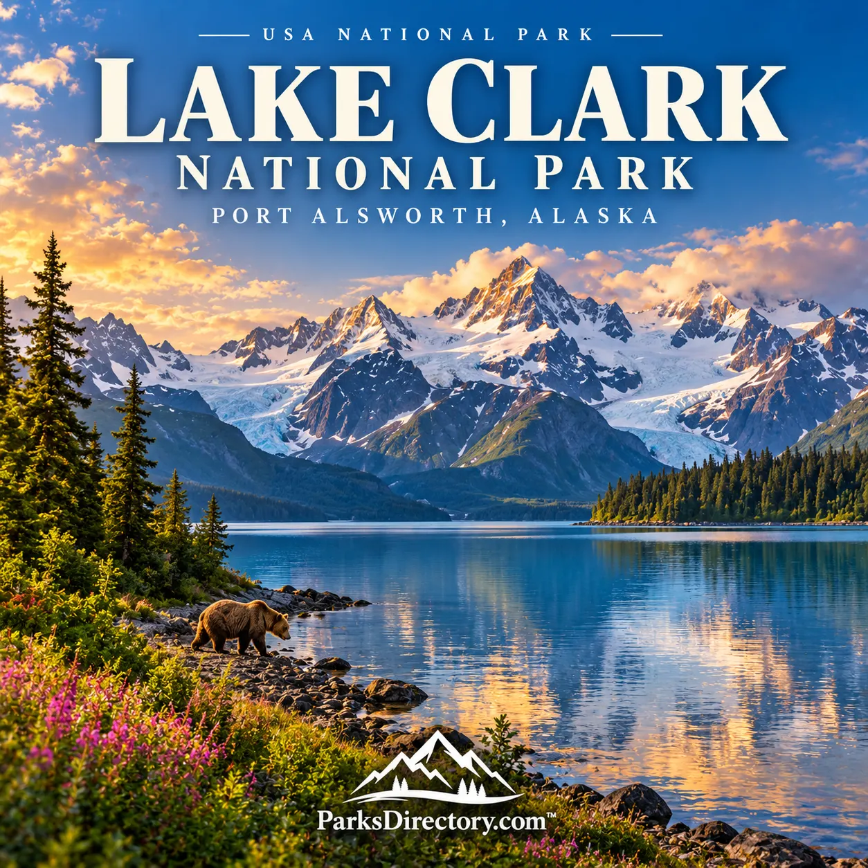
Lake Clark National Park: Volcanoes, Salmon Waters, and a Living Alaska Homeland
ParksDirectory.com™ | National Park Summary & History
Alaska’s landscapes brought together
Lake Clark National Park brings several powerful images of Alaska into one protected region: glacier-covered mountains, active volcanoes, turquoise lakes, salmon rivers, and brown bears feeding along the coast. Yet its identity is more than a collection of dramatic sights. Water connects the mountains with fisheries and communities, while generations of Indigenous knowledge connect familiar places across what visitors may initially perceive as trackless wilderness.[1][2]
The park and adjoining preserve occupy southwestern Alaska, extending from the Cook Inlet coast through the Chigmit Mountains into an interior country of lakes and tundra. Port Alsworth, the community named in many park listings, is an important visitor and administrative base on Lake Clark. It is not a road-connected entrance town comparable to the gateways of many national parks in the contiguous states.[1:1][3]
Establishment and the meaning of its boundaries
President Jimmy Carter proclaimed Lake Clark National Monument on December 1, 1978. Congress established and enlarged Lake Clark National Park and Preserve on December 2, 1980, through the Alaska National Interest Lands Conservation Act. This sequence matters: the monument designation began federal protection under that name, while the later law created the park-and-preserve arrangement familiar today.[4]
The National Park Service’s statistics page gives a combined area of 4,030,006 acres, approximately 6,297 square miles. Within that total, the national park accounts for 2,619,713 acres, about 4,093 square miles, and the national preserve for 1,410,293 acres, about 2,204 square miles. These are different administrative designations, not interchangeable measurements of a single park boundary. The combined landscape is roughly comparable in area to the state of Hawaii.[4:1]
The conservation purpose reaches beyond spectacular scenery. Protecting watersheds important to Bristol Bay salmon, wildlife habitat, and continuing subsistence traditions helped shape the legislation. Lake Clark consequently preserves relationships between land, water, animals, and people rather than only a handful of scenic landmarks.[2:1][3:1]
A homeland before it was a park
The lake lies within Dena’ina ancestral homelands. Its Indigenous name, rendered by the Park Service as Qizhjeh Vena or Qiz’jeh Vena in different publications, refers to a lake where people gather. That meaning offers a useful corrective to the assumption that a place without highways must have been empty or unknown. Routes, fishing places, settlements, and seasonal resources made this a connected cultural landscape long before a national boundary appeared on a map.[5][6]
Kijik and Tanalian Point are among the places that preserve this history. The ancestral Telaquana Trail connected communities and resources across the region. Trails carried practical knowledge as well as travelers: where to cross water, find food, and move between seasonal destinations. Understanding these connections gives the lake’s surrounding mountains a human scale.[6:1]
Contact, upheaval, and new connections
Russian trading activity and Orthodox Christianity brought major changes to southwestern Alaska. Later, after the United States purchased Alaska in 1867, commercial exploration, trapping, and prospecting expanded. In 1891 an exploring party that included Alaska Commercial Company representative John W. Clark applied his name to a lake already known to Dena’ina residents.[7]
Introduced diseases caused profound losses. A measles and influenza epidemic in 1902 contributed to population decline and changes in settlement patterns. Aviation subsequently transformed regional connections: an aircraft first landed on Lake Clark in 1930, and an air-taxi operation associated with Port Alsworth followed. The national park’s history therefore includes both long cultural continuity and disruptive changes, not simply a transition from isolation to tourism.[7:1]
Mountains made by fire and shaped by ice
Redoubt and Iliamna are the park’s defining volcanic summits. They rise above a mountain landscape modified by glaciers, where steep peaks and broad valleys reveal the combined effects of rock building and erosion. Both belong to the Alaska-Aleutian volcanic arc associated with the Pacific Plate descending beneath the North American Plate.[8]
Redoubt’s documented eruptions include major activity in 1989–1990 and 2009. Iliamna emits steam but does not have a confirmed historical eruption in the Park Service account used here. Neither mountain should be treated as a harmless scenic backdrop. Their importance lies partly in demonstrating that the processes responsible for this landscape remain active, even during long intervals when a distant summit appears quiet.[8:1]
Salmon, rivers, and coastal bears
The park’s rivers provide another way to understand its geography. The Tlikakila descends toward Lake Clark, while the Tanalian River passes over its celebrated waterfall near Port Alsworth. Other waterways drain toward Cook Inlet. These channels support fish and waterbirds and provide feeding areas for large mammals, linking seemingly separate habitats through moving water.[9]
On the Cook Inlet coast, Silver Salmon Creek is particularly associated with brown-bear viewing. Bears use sedge meadows, tidal flats, and salmon streams at different times. Their behavior reflects a sequence of food sources rather than a permanent performance for visitors. The combination of coastal meadows and mountain backgrounds makes this one of Lake Clark’s most recognizable settings, but the ecological relationships are more significant than any single photograph.[10]
Twin Lakes and Richard Proenneke
Upper Twin Lake is closely associated with Richard Proenneke, whose journals, films, photographs, and hand-built cabin introduced many people to this part of Alaska. His accounts record weather, wildlife, practical work, and everyday observations. They help explain why an apparently simple cabin has become an important historic feature within such an immense natural landscape.[11]
Proenneke’s story represents one chapter, not the beginning of human life here. Reading it alongside Dena’ina history produces a fuller understanding of the park. The attraction is not merely the image of individual self-reliance, but the discipline of noticing a place carefully and recognizing that it continues beyond the observer’s own experience.[6:2][11:1]
What Lake Clark is most known for
For a general introduction, the park’s essential features are its volcanic mountains, lake-filled interior, salmon waters, coastal bears, and living cultural history. Tanalian Falls provides a more intimate expression of the same landscape: cold water moving through forest over ancient volcanic rock. It connects the immense scale of Alaska with something visitors can experience at walking pace.[1:2][12]
Lake Clark’s establishment protected more than an impressive view. It preserved an extensive, connected region where natural processes and subsistence traditions still shape daily life. Appreciating those connections turns a visit from a collection of remote excursions into an encounter with one of America’s most richly layered national parks.[2:2][3:2]
Sources
Research reviewed September 6, 2026. Acreage follows the NPS park statistics page; square miles are rounded conversions. National park and national preserve areas are stated separately. This is a historical overview, not a current operating-conditions report.
National Park Service, “Lake Clark National Park & Preserve.” https://www.nps.gov/lacl/ ↩︎ ↩︎ ↩︎
National Park Service, “Concerns Regarding Large-scale Mining on the Western Boundary,” including the park purpose statement. https://www.nps.gov/lacl/learn/news/mining-concerns.htm ↩︎ ↩︎ ↩︎
National Park Service, “Basic Information.” https://www.nps.gov/lacl/planyourvisit/basicinfo.htm ↩︎ ↩︎ ↩︎
National Park Service, “Park Statistics.” https://www.nps.gov/lacl/learn/management/statistics.htm ↩︎ ↩︎
National Park Service, “Park Facts.” https://www.nps.gov/articles/000/park-facts-and-map.htm ↩︎
National Park Service, “Places of Change.” https://www.nps.gov/lacl/learn/historyculture/places.htm ↩︎ ↩︎ ↩︎
National Park Service, “History—Lake Clark.” https://www.nps.gov/lacl/learn/historyculture/history.htm ↩︎ ↩︎
National Park Service, “Volcanoes.” https://www.nps.gov/lacl/learn/nature/volcanoes.htm ↩︎ ↩︎
National Park Service, “Rivers and Streams.” https://www.nps.gov/lacl/learn/nature/rivers-and-streams.htm ↩︎
National Park Service, “Visit Silver Salmon Creek.” https://www.nps.gov/lacl/planyourvisit/silver-salmon-creek.htm ↩︎
National Park Service, “Richard Proenneke’s Journals.” https://www.nps.gov/lacl/learn/historyculture/proennekejournals.htm ↩︎ ↩︎
National Park Service, “Day Hikes.” https://www.nps.gov/lacl/planyourvisit/day-hikes.htm ↩︎