Gates of the Arctic National Park

Fairbanks, Alaska · Alaska outdoor places

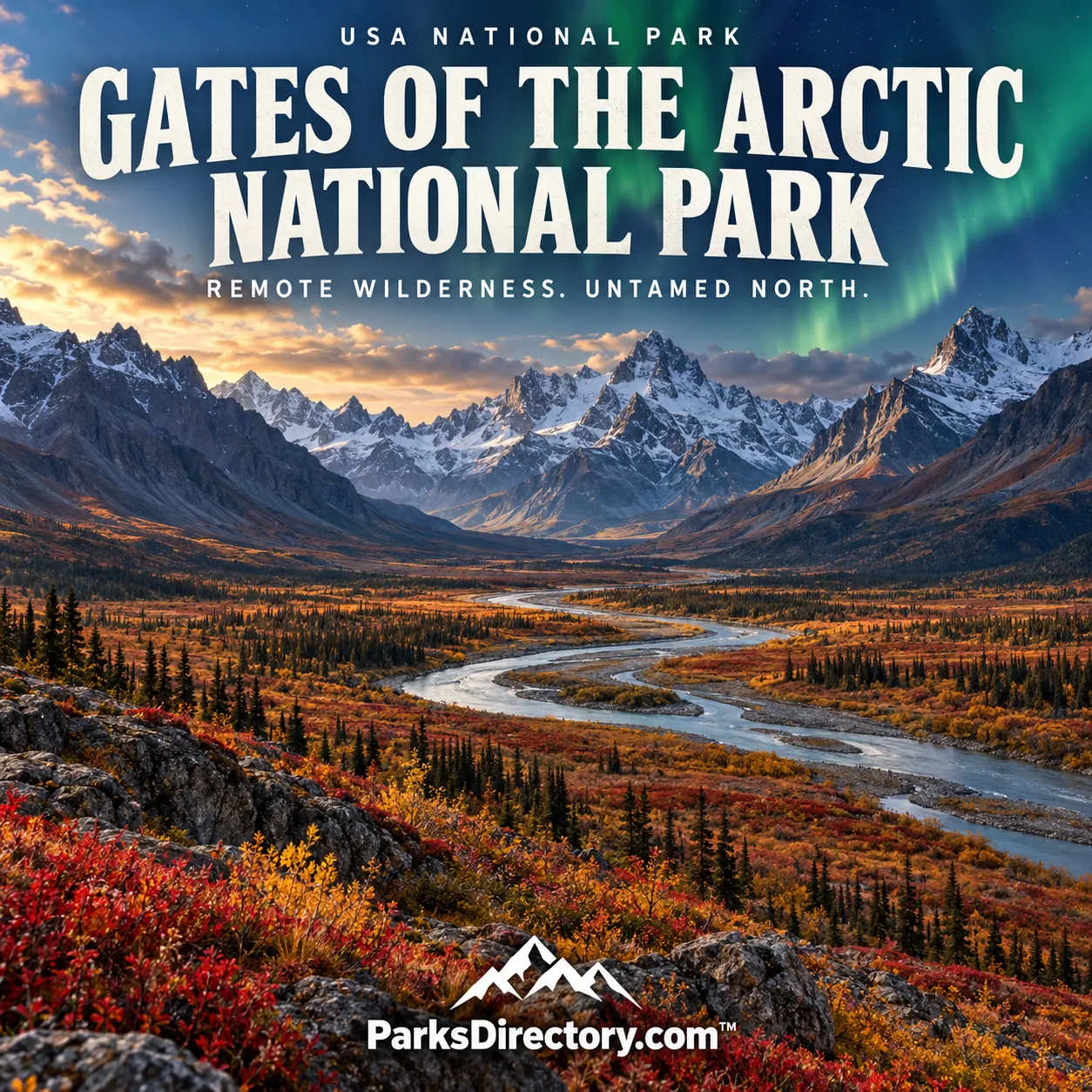
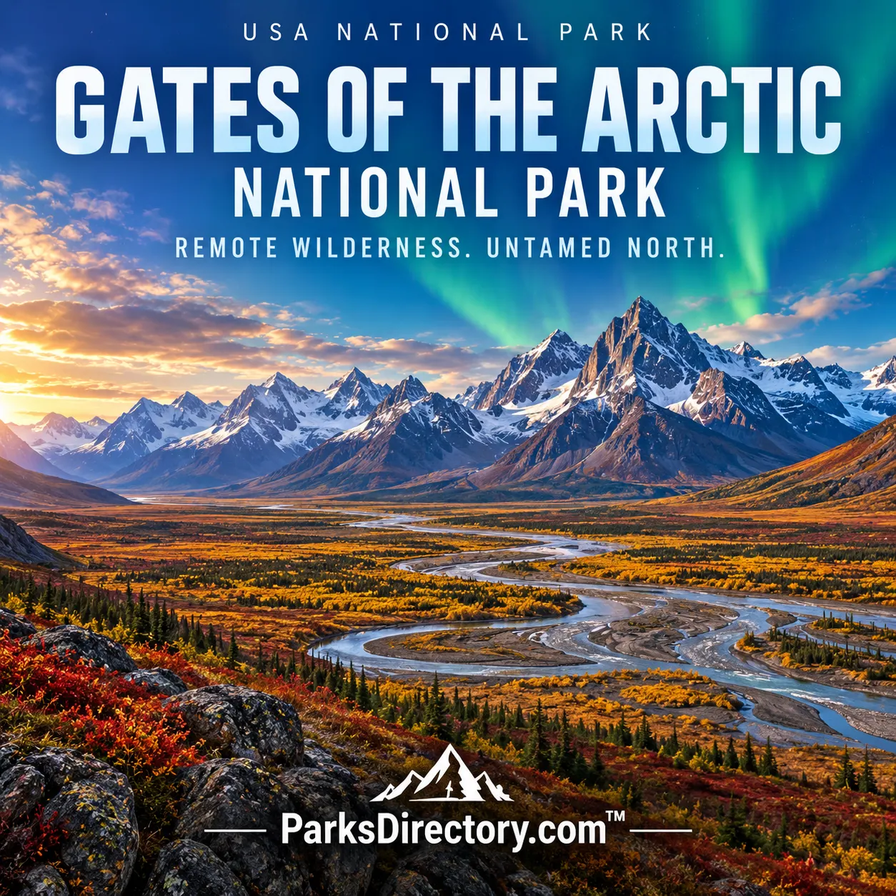
Gates of the Arctic National Park Gates of the Arctic National Park poster

History

Gates of the Arctic National Park: A Brooks Range Homeland and Wilderness

ParksDirectory.com™ | National Park Summary & History

Location, size, and establishment

Gates of the Arctic protects an immense section of Alaska’s central Brooks Range, entirely north of the Arctic Circle. Fairbanks is an administrative connection rather than the park’s physical location: the mountains lie roughly 200 air miles farther north. The National Park Service describes a combined park and preserve of 8,472,505 acres, approximately 13,238 square miles. Within that total, the national park accounts for 7,523,897 acres, while two preserve units together contain 948,608 acres. These distinctions matter because the preserve is not simply another name for the national park.[1]

The present national park and preserve was established on December 2, 1980, under the Alaska National Interest Lands Conservation Act, usually called ANILCA. It followed national-monument protection in 1978. The resulting protected landscape crosses the Arctic Divide, linking mountainous watersheds, northern tundra, and forests near their climatic limit. Its scale allows ecological relationships to extend well beyond a single scenic valley.[1:1][2]

A homeland before a wilderness designation

The absence of roads should never be confused with an absence of people. Alaska Native communities have known and used the Brooks Range for thousands of years. Archaeological sites document longstanding relationships with the area’s animals, seasonal movements, and river corridors. Nunamiut Iñupiat and Koyukon Athabascan connections remain part of the park’s contemporary identity, not merely a chapter preceding federal protection.[1:2]

Anaktuvuk Pass, a Nunamiut community within the national park, gives this history a particularly visible geographical center. The village is a living community, with homes and private property, rather than an outdoor exhibit. Its position among mountain passes reflects the importance of routes through the Brooks Range and the caribou that travel through this country. Understanding that continuity changes the way the landscape is read: a valley that appears empty to a short-term visitor may contain generations of place-based knowledge.[3]

Subsistence is integral to the legislation and management framework. ANILCA protected traditional uses alongside scenery, wildlife, and opportunities for solitude. The park’s history therefore differs from a simple model in which conservation meant removing human activity. Its enduring challenge is to protect ecological integrity while recognizing the people whose lives are connected to the land.[1:3][2:1]

How the park acquired its name

The name Gates of the Arctic comes from forester and wilderness advocate Robert Marshall, often known as Bob Marshall. Beginning in 1929, he traveled through the central Brooks Range and spent time in the community of Wiseman. Along the North Fork of the Koyukuk River, two mountains suggested an entrance into the northern interior. He called Frigid Crags and Boreal Mountain the gates.[4]

Marshall’s journeys and writing helped make this region significant within the American wilderness movement. His enthusiasm was not limited to mountain scenery; he also wrote about community life and the people he met. His book Arctic Village appeared in 1933, while later publications carried his descriptions to additional readers. These works influenced conservationists long after his own visits ended.[4:1]

Protection nevertheless took decades. Postwar development, mineral and oil interests, transportation proposals, and concern for local ways of life all shaped the debate. National Park Service studies identified the central Brooks Range as a candidate for protection. President Jimmy Carter’s monument designations in 1978 provided an interim measure while Congress debated the broader Alaska lands legislation. The 1980 act created the national park and preserve within a much larger northern conservation framework.[2:2]

Mountains, rivers, and the meeting of ecosystems

Gates of the Arctic is best understood as a connected mountain environment rather than a collection of roadside attractions. Glacially carved valleys separate limestone and granite peaks; rivers drain different sides of the Arctic Divide. South-facing country can support boreal woodland, while higher and more northerly terrain carries shrub communities and tundra. Elevation, drainage, exposure, and the short growing season create a remarkably varied landscape.[1:4]

Six designated wild and scenic rivers are among its defining features: the Alatna, John, Kobuk, Noatak, North Fork of the Koyukuk, and Tinayguk. Their importance reaches beyond the beauty of moving water. They connect headwaters with downstream habitats, carry sediment, organize travel corridors, and reveal how entire watersheds operate with comparatively little industrial modification. The upper Noatak and Kobuk country also connects the park’s story to neighboring protected landscapes.[5]

Animal life depends on that continuity. Caribou need extensive seasonal ranges; predators and scavengers follow opportunities distributed across large areas. Dall sheep occupy mountain terrain, while moose and bears use other habitats. Wildlife is not arranged for viewing, and the ecological importance of the park cannot be measured by how many animals a visitor happens to see.[1:5]

The sights for which the park is best known

The namesake passage between Frigid Crags and Boreal Mountain offers the most direct connection between geography and conservation history. Along the North Fork of the Koyukuk, the paired mountains frame a river route that helped inspire Marshall’s writing. Their significance is both visual and historical: this is the landscape that supplied the park’s enduring name.[4:2]

The Arrigetch Peaks form another celebrated landmark. Their sharp granite forms rise above surrounding valleys and have long held meaning for Nunamiut people. The group is known for the contrast between sheer rock, glacial basins, and the surrounding northern landscape. The peaks were recognized as a national natural landmark before the national park existed, illustrating how individual geological features helped draw attention to the wider region.[6]

Walker Lake represents a different side of the park: mountain water, glacial landforms, and the transition toward northern forest. Together with the rivers and high peaks, it demonstrates that Gates of the Arctic is not uniformly treeless tundra. Its protected area encompasses substantial ecological transitions, from relatively sheltered woodland to exposed alpine slopes.[1:6]

What makes its history distinctive

Gates of the Arctic preserves the possibility of encountering a landscape without a road-based framework of overlooks and developed trails. That absence is part of its conservation purpose, not an unfinished stage of development. At the same time, the park remains a cultural landscape with communities, stories, subsistence practices, and named places.[2:3][3:1]

Its establishment in 1980 brought together several histories: Alaska Native continuity, wilderness advocacy, federal land policy, and concern about rapid industrial change. The result is a national park whose most notable feature may be the relationship between its parts. Mountains, rivers, wildlife movements, and human knowledge operate across a scale that a single photograph can suggest but never fully contain.

Sources

Research checked September 6, 2026. Acreage follows the NPS park overview; square miles are rounded from acres. Park and preserve areas are identified separately.


  1. National Park Service, What Is Gates of the Arctic?. ↩︎ ↩︎ ↩︎ ↩︎ ↩︎ ↩︎ ↩︎

  2. National Park Service, Creation of Gates of the Arctic National Park & Preserve. ↩︎ ↩︎ ↩︎ ↩︎

  3. National Park Service, Anaktuvuk Pass, Alaska. ↩︎ ↩︎

  4. National Park Service, The Gates of the Arctic. ↩︎ ↩︎ ↩︎

  5. National Park Service, Wild and Scenic Rivers. ↩︎

  6. National Park Service, Arrigetch Peaks. ↩︎

Travel guide

Gates of the Arctic National Park: A Guide to Alaska’s Remote Brooks Range

Gates of the Arctic National Park offers a journey without the familiar framework of scenic roads, signed trail circuits, or developed campgrounds. Rivers move through broad valleys, and mountains define horizons that may be many days of travel away. The landscape is not empty: people have lived with it for thousands of years, and contemporary communities and subsistence activities remain part of its story.[1]

For a visitor, the central question is what kind of trip matches their experience, resources, and ability to manage uncertainty. A carefully arranged introduction can be more meaningful than an expedition attempted primarily for difficulty. The park rewards preparation, patience, and an honest understanding of personal limits.

Understand access before choosing activities

There are no roads into the park’s wilderness. Visitors generally arrive by small aircraft or undertake demanding overland travel. Fairbanks is a planning and transportation starting point rather than a roadside entrance. Gateway communities include Bettles and Anaktuvuk Pass, with other arrangements depending on the chosen route.[2]

Discuss the actual landing location with an appropriate operator. Flightseeing, a brief landing visit, and a multiday wilderness drop-off are different experiences. Confirm whether the itinerary reaches park lands, how long you will remain on the ground, and what happens if conditions prevent landing or collection.

Keep onward travel flexible. Remote aviation depends on weather, and a scheduled return is not a promise that the sky will cooperate. Build buffer days into the wider Alaska itinerary before reserving tightly connected flights elsewhere.

Choose the appropriate commitment

A scenic flight can introduce the Brooks Range’s scale without requiring a backpacking expedition. A guided journey may suit travelers who want more time on the ground but lack local experience. Independent wilderness travel belongs to those with strong navigation, camping, and emergency-management skills.[3]

Without constructed trails, distance has a different meaning. Vegetation, tussocks, wet ground, and river crossings can make progress slow. The park notes that experienced travelers may consider six miles a substantial day’s journey. Do not transfer your usual mileage on maintained mountain trails directly to this terrain.[4]

Choose a plan with alternatives rather than one requiring a distant destination every evening. A basecamp arrangement may be preferable to a rigid traverse when the location and conditions support it. Discuss such options with rangers and your guide or pilot before committing.

Prepare for genuine self-reliance

The park emphasizes the need to care for yourself without ordinary visitor services or dependable mobile coverage. Leave a detailed plan with a responsible contact and your operator, explaining the route, expected return, and response if you become overdue.[5]

Communication deserves careful preparation. NPS guidance recommends two forms of backcountry communication, such as a satellite phone and a satellite messaging device. Learn to use them before departure and understand that transmitting a message does not guarantee immediate assistance.[5:1]

Carry additional food for delays and protect essential equipment from water. A tent, sleeping system, and clothing should suit expected conditions with a sensible margin beyond them. Familiarity matters as much as specifications: test equipment before depending on it far from help.

Respect rivers and weather

River travel and crossings can be defining challenges. Water level, current, temperature, and the availability of a safe exit all influence the decision. Do not attempt a crossing simply because it lies on a planned route or because another group crossed earlier.[4:1]

For a float trip, research the particular river and choose an operator whose experience matches it. A peaceful photograph of a broad channel does not describe every rapid, landing, or weather exposure. Clarify the required skills and equipment before booking.

Most visits occur during the comparatively warmer summer and fall period, but conditions remain variable. Long daylight can encourage overly ambitious travel; it does not remove fatigue. Let the group’s condition, rather than the hours of remaining light, determine when to stop.[6]

Visit Anaktuvuk Pass thoughtfully

Anaktuvuk Pass is a living community within the park’s boundaries, not an open-air museum. Many residents are Nunamiut, inland Iñupiat people, and subsistence activities remain important. Homes, local schedules, and community priorities take precedence over a visitor’s sightseeing plan.[7]

The Simon Paneak Memorial Museum can provide valuable cultural context when open. Confirm arrangements instead of assuming services follow a major-city schedule. Ask before photographing people or entering places where access is unclear, and support local services in ways welcomed by the community.

Land ownership and access around the village are complex. Easements may allow specific transit without permitting unrestricted use of surrounding land. Consult current land-status information and park staff for your intended route. A broad tourist map is not enough to establish permission.[7:1]

Watch wildlife without pursuing it

Wildlife can enrich the journey, but no itinerary should promise caribou, bears, or a particular migration scene. Bring binoculars and allow animals room to travel. Manage camp and food so that animals never learn to associate visitors with an easy meal.[1:1]

Bear-resistant food containers are required for overnight visits under the park’s guidance. Arrange appropriate equipment before departure and understand how it must be used. A container is only effective when food and other attractants are consistently stored correctly.[5:2]

Remoteness does not reduce responsibility for impact. Choose durable surfaces, manage human waste appropriately, and leave natural and cultural objects untouched. The absence of a sign does not indicate that an activity is harmless or permitted.

A practical first-visit framework

Begin with time in Fairbanks or the selected gateway for final equipment checks and discussions with the operator. Follow with the guided or independent itinerary you have prepared, preserving weather days afterward. This is a planning framework rather than a universal route: the park does not lend itself to a standard two-day sightseeing checklist.

Use the gateway conversation to resolve small practical matters as well as major ones. Confirm baggage arrangements, fuel rules, emergency contacts, and the location where the pilot expects to find you. Write essential instructions down instead of relying on memory after a long travel day.

For a first visit, it may be wise to choose a shorter supported stay and learn how the terrain feels before planning a more independent return. That is an investment in experience, not a lesser form of travel.

Let preparation create room for attention

Once the essential arrangements are sound, make time to observe the landscape. Notice how the river occupies its valley, how vegetation changes across the ground, and how weather moves along the mountains. An itinerary that requires constant progress can leave surprisingly little attention for the place itself.

Gates of the Arctic is most rewarding when ambition is matched by humility. Prepare thoroughly, respect local communities, and accept that conditions may change the journey. The resulting experience can be extraordinary without requiring you to conquer the landscape or force it to follow your schedule.

Sources

Prepared September 6, 2026. Suggested itineraries are editorial recommendations. Check official park alerts, reservations, and operating information before traveling.


  1. National Park Service, Park Overview. ↩︎ ↩︎

  2. National Park Service, Directions. ↩︎

  3. National Park Service, Plan Your Visit. ↩︎

  4. National Park Service, Getting Around. ↩︎ ↩︎

  5. National Park Service, Safety. ↩︎ ↩︎ ↩︎

  6. National Park Service, Seasons. ↩︎

  7. National Park Service, Anaktuvuk Pass. ↩︎ ↩︎