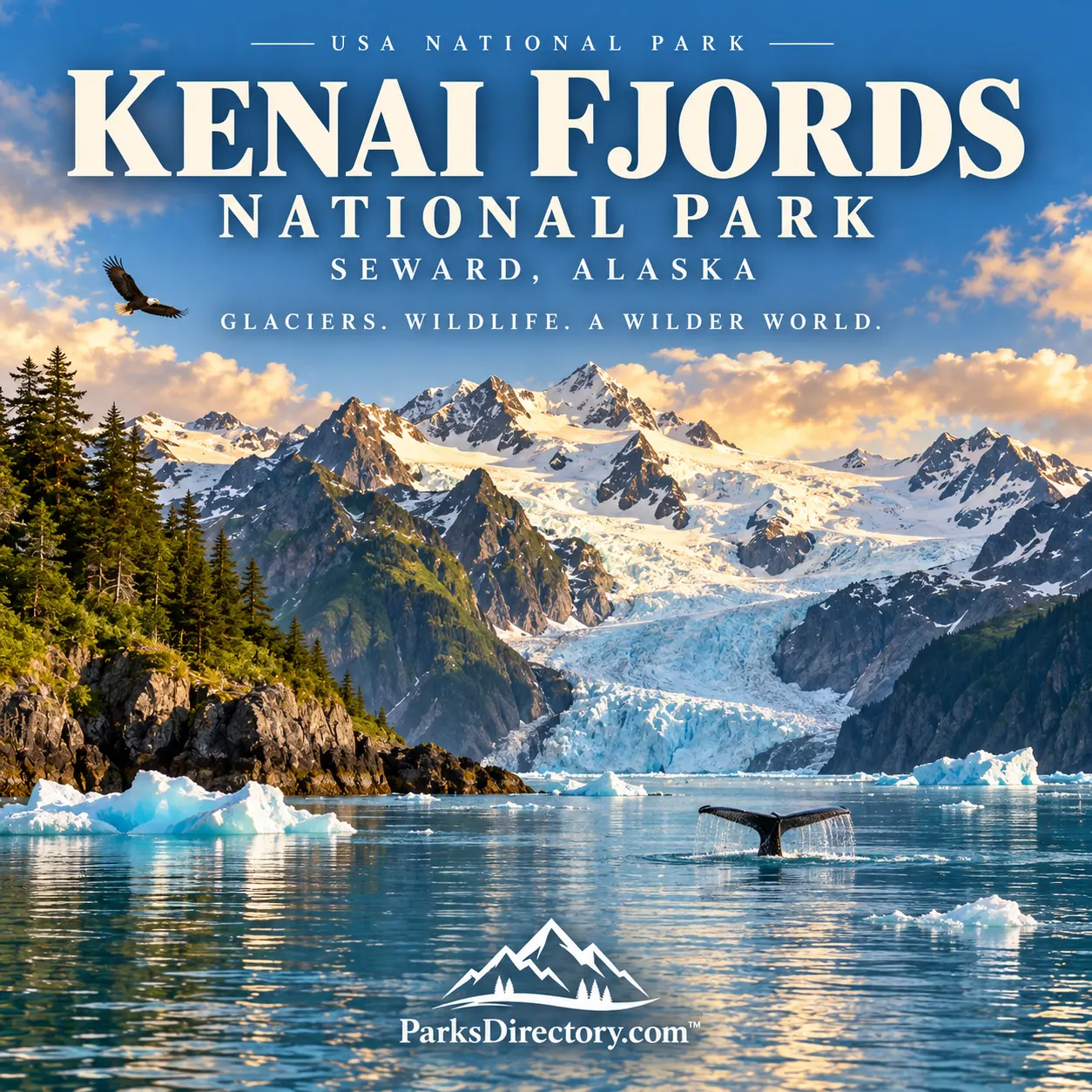
Kenai Fjords National Park: Where an Icefield Reaches the Gulf of Alaska
ParksDirectory.com™ | National Park Summary & History
Mountains, ice, and sea
Kenai Fjords National Park protects one of Alaska’s most striking meetings of land and ocean. Glaciers descend from a high icefield toward deeply cut coastal inlets, while forests, seabird colonies, and marine mammals occupy the surrounding landscape. The dramatic scenery is the result of continuing processes: snow becomes ice, ice moves through mountains, and the sea fills valleys shaped by earlier glaciers.[1]
The park lies on the southeastern Kenai Peninsula in south-central Alaska, with Seward serving as its principal gateway. The National Park Service’s geodiversity overview reports approximately 669,984 acres, equivalent to about 1,047 square miles. This gross park figure differs from the smaller acreage managed directly by the NPS because landownership within the legislative boundary is not uniform.[1:1][2]
President Jimmy Carter proclaimed Kenai Fjords National Monument on December 1, 1978. Congress redesignated it Kenai Fjords National Park on December 2, 1980, through the Alaska National Interest Lands Conservation Act. Its purpose includes protection of the Harding Icefield, outflowing glaciers, fjords, wildlife, and evidence of the region’s human history.[1:2][3]
An inhabited maritime homeland
The coastal landscape has long been home to Alaska Native peoples. The Sugpiaq, also known as Alutiiq, developed ways of life closely connected to marine mammals, fish, birds, and other coastal resources. Archaeological evidence and living traditions demonstrate knowledge of an environment that could be rich in food while remaining demanding to navigate and inhabit.[4]
Kayaks, or qayaqs, were essential technologies within this maritime world. Their design and construction embodied knowledge of materials, water, hunting, and travel. Contemporary cultural-preservation partnerships help maintain and interpret that knowledge. A traditional qayaq displayed in the park’s Seward visitor center is therefore more than an attractive historical object: it represents skills and relationships that belong to a continuing culture.[5]
Contact, resource extraction, and coastal change
Russian expansion into coastal Alaska altered Indigenous life through trade, coercion, and the exploitation of marine mammals. Later American activities added mining, fishing, and fox farming to the region’s economic history. Remains of these enterprises demonstrate that the fjords were connected to outside markets long before national-park visitors arrived.[6]
Nuka Bay’s mining history provides a particularly tangible example. Equipment and supplies had to be transported into rugged coastal settings, creating a working landscape of boats, camps, and extraction sites. Archaeological studies also reveal less monumental traces of daily life. Together these resources broaden the park’s story beyond a spectacular view of ice and cliffs, showing how people repeatedly adapted to the opportunities and limits of the coast.[6:1][7]
The Harding Icefield
The Harding Icefield is the park’s central natural feature. Rather than a single glacier, it is a connected body of ice feeding numerous glaciers that move outward through different valleys. Mountain summits protrude through the ice as nunataks. Some outlet glaciers terminate on land, some in lakes, and others at tidewater, illustrating how one icefield can produce several kinds of glacial landscape.[8]
The distinction between an icefield and a continental ice sheet is useful. Harding is vast from a visitor’s perspective, but it does not bury a continent like the Antarctic ice sheet. Its shape remains influenced by the mountains beneath it. From high viewpoints, exposed ridges and white expanses together reveal the relationship between bedrock topography and the moving ice.[8:1]
How the fjords formed
The coastal inlets are glacially carved valleys later occupied by seawater. Ice widened and deepened existing routes through the mountains, leaving steep walls and distinctive profiles. After glaciers retreated, the sea extended inland along these troughs. Today’s shoreline therefore records both the erosive work of ice and the later position of the ocean.[1:3]
Aialik Bay and other fjord systems make that history visible at a large scale. Cliffs rise abruptly above water, hanging valleys release waterfalls, and glaciers remain at the heads of some inlets. The landscape is not a frozen remnant of the past. Calving, erosion, sediment transport, and vegetation growth continue to alter it, so the view from a boat is a moment within an ongoing geological story.[3:1][8:2]
Exit Glacier and a readable history of retreat
Exit Glacier is the park’s best-known land-accessible glacier area. Trails and interpretive information allow visitors to understand the changing glacier margin and the terrain uncovered as ice retreats. The sequence from recently exposed ground to more established vegetation makes landscape change unusually tangible. Distances between former ice positions convey time in a way that a single photograph cannot.[9]
The Harding Icefield Trail provides a much higher perspective on the same system. Its destination helps connect the outlet glacier with the larger accumulation of ice above. The contrast between forested lower slopes and the exposed upper landscape is part of the experience, revealing changes in elevation, climate, and plant communities within a relatively compact geographical area.[8:3][9:1]
Wildlife and the marine connection
The fjords support a varied biological community, including seals, sea lions, sea otters, seabirds, and whales in surrounding marine waters. Their presence depends on more than scenery. Food availability, ocean conditions, shelter, and suitable breeding or resting sites influence where animals gather. A coastal cliff or protected inlet can therefore be important habitat as well as a visual landmark.[1:4][3:2]
Sea otters offer a particularly instructive historical connection. Heavy hunting during the fur-trade era severely reduced their populations across Alaska. Their story links marine ecology with colonial economic history. Seeing an otter resting on the water becomes more meaningful when placed within that wider context of exploitation, protection, and ecological relationships.[10]
A park defined by change
Glacier monitoring is central to understanding Kenai Fjords. Researchers compare ice margins, surface conditions, and other measurements through time, documenting responses to temperature and snowfall. Individual glaciers do not all behave identically, and a dramatic calving event alone does not summarize the long-term trend. The park’s scientific value lies in sustained observation across the whole system.[11]
Kenai Fjords combines accessible introductions with an enormous coastal and mountain interior. Its significance is not limited to a particular glacier face or wildlife encounter. It preserves the relationships among ice, ocean, living communities, and people—relationships that have shaped this coast for millennia and continue to reshape it now.[3:3][4:1][11:1]
Sources
Research reviewed September 6, 2026. Gross acreage follows the 2024 NPS geodiversity overview; the older fact sheet explains ownership scope. Square miles are rounded. Glacier descriptions do not guarantee present access or the position of an ice margin.
National Park Service, “NPS Geodiversity Atlas—Kenai Fjords National Park, Alaska.” https://www.nps.gov/articles/nps-geodiversity-atlas-kenai-fjords-national-park-alaska.htm ↩︎ ↩︎ ↩︎ ↩︎ ↩︎
National Park Service, Kenai Fjords Fact Sheet (2021), boundary and NPS-managed acreage distinction. https://www.nps.gov/kefj/learn/management/upload/KEFJ_Fact-Sheet-2021.pdf ↩︎
National Park Service, “Management.” https://www.nps.gov/kefj/learn/management/index.htm ↩︎ ↩︎ ↩︎ ↩︎
National Park Service, “Alaska Native Heritage at Kenai Fjords National Park.” https://www.nps.gov/locations/alaska/native-heritage-kefj.htm ↩︎ ↩︎
National Park Service, “Traditional Qayaq Build.” https://www.nps.gov/kefj/learn/historyculture/traditional-qayaq-build.htm ↩︎
National Park Service, “People” and “History & Culture.” https://www.nps.gov/kefj/learn/historyculture/people.htm ; https://www.nps.gov/kefj/learn/historyculture/index.htm ↩︎ ↩︎
National Park Service, “Places” and “Preservation.” https://www.nps.gov/kefj/learn/historyculture/places.htm ; https://www.nps.gov/kefj/learn/historyculture/preservation.htm ↩︎
National Park Service, “The Harding Icefield.” https://www.nps.gov/kefj/learn/nature/the-harding-icefield.htm ↩︎ ↩︎ ↩︎ ↩︎
National Park Service, “Exit Glacier Area.” https://www.nps.gov/kefj/planyourvisit/exit-glacier-area.htm ↩︎ ↩︎
National Park Service, “Sea Otter.” https://www.nps.gov/kefj/learn/nature/sea-otter.htm ↩︎
National Park Service, “Glacier Monitoring.” https://www.nps.gov/kefj/learn/nature/glaciermonitoring.htm ↩︎ ↩︎