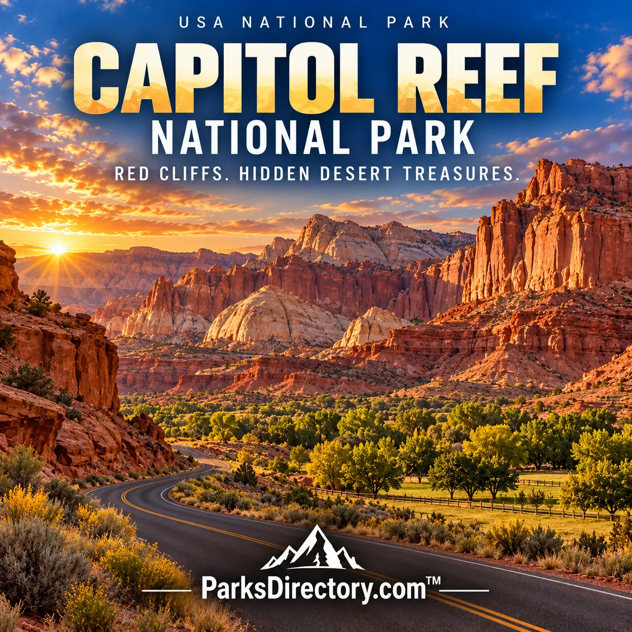
Capitol Reef National Park

Torrey, Utah · Utah outdoor places

Capitol Reef National Park

History

Capitol Reef National Park: The Waterpocket Fold, Fruita, and a Landscape of Many Histories

ParksDirectory.com™ | National Park Summary & History

Where Capitol Reef lies and how large it is

Capitol Reef National Park stretches through south-central Utah, east of Torrey, along the Waterpocket Fold. The NPS describes an area of 243,921 acres, approximately 381 square miles. Its elongated shape follows a major geologic structure rather than a compact cluster of attractions. The accessible Fruita district is only one part of a park that also includes remote desert valleys, deeply incised canyons, uplands, and extensive backcountry.[1]

President Franklin Roosevelt established Capitol Reef National Monument on August 2, 1937, initially protecting 37,711 acres. After later expansions, President Richard Nixon signed the law creating Capitol Reef National Park on December 18, 1971. A dedication ceremony followed in April 1972. Those dates describe separate events: the beginning of monument protection, the national park designation, and the public dedication.[2][3]

The meaning behind the name

The name joins two visual impressions. White Navajo Sandstone domes reminded observers of capitol buildings, while the long rocky barrier resembled a reef obstructing travel. It is not the name of an exposed modern coral reef. Capitol Dome and nearby cliffs explain the first part, while the difficulty of crossing the country explains the second.[4]

The Waterpocket Fold is a nearly 100-mile-long bend in the Earth’s crust. Geologists describe it as a monocline: rock layers step upward on one side of a buried fault and drape downward on the other. The structure formed during the Laramide mountain-building period, roughly 50 to 70 million years ago. Subsequent uplift and erosion exposed the folded layers. Its “waterpockets” are depressions in rock that can hold rainwater, small features that help give a vast landform its memorable name.[4:1]

A record of vanished environments

Capitol Reef’s exposed strata preserve a long sequence of ancient landscapes. Rivers, floodplains, deserts, and shallow seas each contributed different sediments. Today, hard sandstone produces cliffs and domes, while softer layers weather into slopes and colorful hills. Traveling across the park can feel like moving through a geologic archive in which each formation records a different environment.[4:2]

Water remains the principal architect despite the dry climate. Runoff enters cracks, floods move sediment, and streams cut through tilted layers. Gravity brings down blocks from cliff faces. The contrasting shapes of Wingate cliffs, Navajo domes, and softer badlands are therefore not decorative accidents. They reflect differences in rock composition and resistance. The park’s size matters because it preserves a substantial portion of this connected sequence rather than a few isolated formations detached from their geological setting.

Indigenous history along the Fremont River

The Capitol Reef area has been a homeland for thousands of years. Archaic hunters and gatherers used the region long before farming communities associated with the Fremont Culture developed. The NPS describes Fremont farming traditions emerging around 500 CE, with corn, beans, and squash complementing other resources. Rock imagery and archaeological sites remain important evidence of these long relationships with the land.[5]

Petroglyph panels near the Fremont River are among the park’s most notable cultural sights. They should be understood as meaningful cultural expressions, not anonymous decoration on a scenic wall. The river corridor offered water, workable land, and routes through difficult country. Its attraction to successive communities helps explain why so much of the park’s human history is concentrated near Fruita. Indigenous history is the first chapter of that story, not a brief preface to later settlement.

Fruita and the working landscape

Latter-day Saint settlers established Fruita in the nineteenth century, using irrigation to maintain orchards in an otherwise demanding setting. Apples, peaches, pears, and other fruits became central to local life. The surviving Fruita Rural Historic District, schoolhouse, orchards, and Gifford Homestead present a landscape shaped by work, water, family, and adaptation.[5:1]

The orchards distinguish Capitol Reef from parks interpreted mainly through wilderness scenery. They are a managed historical resource within a much larger natural landscape. Their greenery also makes the contrast with surrounding cliffs especially striking. The Gifford family remained until 1969, near the transition to national park status. Preserving the homestead and orchard setting helps visitors understand the community that occupied the river valley, while leaving room for the older histories that settlement-era buildings do not themselves reveal.[6]

How “Wayne Wonderland” became a park

Local advocates Ephraim Pectol and Joseph Hickman promoted the region’s scenery in the early twentieth century. They used photographs, writing, and political organizing to build interest in an area they called “Wayne Wonderland.” Their goals combined appreciation of natural and cultural resources with hopes that tourism would benefit the local economy. The campaign illustrates how national parks can emerge from regional aspirations as well as national conservation movements.[2:1]

The 1937 monument was much smaller than the later park. Its early years involved limited funding, difficult access, and gradual development. The NPS timeline records Charles Kelly’s service as custodian and later superintendent, road improvements, boundary changes, and a period when uranium prospecting was allowed. Major expansion in 1969 preceded the 1971 national park law. Protection was thus a process of changing boundaries and priorities, not one unbroken decision made in a single year.[3:1]

The features that make Capitol Reef recognizable

Fruita and the scenic corridor introduce soaring cliffs, historic orchards, and narrow canyon mouths. Capitol Gorge, the domes of the central district, and routes into the Waterpocket Fold reveal the landscape at close range. The contrast between irrigated valley and bare rock is one of the park’s most characteristic scenes.[4:3][5:2]

Farther north, Cathedral Valley contains freestanding sandstone monoliths, including the Temple of the Sun and Temple of the Moon. These formations belong to a different expression of the same broader sedimentary landscape. The southern Waterpocket country emphasizes long distances, tilted ridges, and canyon systems. A description limited to the road through Fruita would therefore miss much of what national park status ultimately protected.

A park of connections

Capitol Reef is most rewarding when its geology and human history are read together. The Fold impeded travel; the river created possibilities; the orchards depended on irrigation; and the scenery inspired a campaign for protection. Desert wildlife, fragile soil communities, and night skies add living and atmospheric dimensions to those connections.[1:1]

Its importance lies less in one overwhelming landmark than in the coherence of the whole. White domes, red cliffs, Fremont imagery, pioneer orchards, and remote valleys all belong to the same landscape. The park established in 1971 preserved enough of that landscape for these relationships to remain visible, making Capitol Reef both a remarkable geological record and an unusually layered account of life in canyon country.

Sources

Research checked September 6, 2026. Acreage follows the scope and approximate figures of the cited sources; it is not a current boundary survey. Square-mile conversions are rounded.


  1. National Park Service, Nature and Park Area. ↩︎ ↩︎

  2. National Park Service, Park Founders. ↩︎ ↩︎

  3. National Park Service, Capitol Reef Timeline. ↩︎ ↩︎

  4. National Park Service, Geology. ↩︎ ↩︎ ↩︎ ↩︎

  5. National Park Service, History & Culture. ↩︎ ↩︎ ↩︎

  6. National Park Service, Gifford Homestead. ↩︎

Travel guide

Capitol Reef National Park: A Travel Guide to Cliffs, Orchards, and Desert Trails

ParksDirectory.com™ • USA National Parks Travel Guide

Capitol Reef combines the drama of Utah canyon country with a surprisingly intimate center. Around Fruita, orchards and historic buildings sit beneath large cliffs, while nearby trails lead toward natural bridges, narrow washes, and viewpoints over folded rock. Farther away, the Waterpocket district and Cathedral Valley offer a more remote experience. The park can reward a brief scenic stop, but an overnight stay gives its different layers time to emerge.[1][2]

Torrey is a practical gateway for planning. Decide whether your visit will focus on the accessible Fruita area or include a more demanding journey beyond it. Those are different itineraries, not minor variations on the same drive, and accommodation should support the district you choose.

Make Fruita your introduction

The Fruita Historic District is the most useful starting point for many visitors. Official park information brings together its geology, human history, orchards, campground, schoolhouse, petroglyph viewing area, and Gifford Homestead.[2:1]

Begin with interpretation rather than immediately selecting the longest hike. The contrast between cultivated ground and desert cliffs is part of the place’s character. Notice how water and shelter influenced the valley’s use over time. A walk among historic features can fit comfortably around a scenic drive and provides a different kind of experience from standing at a distant overlook. Keep in mind that facilities and seasonal offerings may not all be available on the same dates, so check current information before building a meal or activity around them.

Include the cultural landscape

Fruita’s schoolhouse and homestead introduce relatively recent settlement, while the petroglyph panels connect visitors with a much longer human history. The park identifies the panels with Fremont Culture and presents them as an important part of the visitor experience.[2:2]

Give these places the same attention you would give a natural landmark. Read the interpretation, remain within designated viewing areas, and resist approaching rock markings for a closer photograph. Historical sites are not empty scenery or climbing opportunities. For families, this part of the visit can make the landscape more understandable by asking practical questions: how people obtained water, grew food, and moved through difficult terrain. The answers add depth to the cliffs and canyons encountered later in the day.

Choose a trail for the experience it offers

Capitol Reef’s established day hikes vary widely. Hickman Bridge leads toward a natural bridge and canyon views; Cohab Canyon combines a climb with views over Fruita; Grand Wash emphasizes an enclosed canyon setting. Cassidy Arch is a more strenuous option involving slickrock and greater effort.[3]

Check whether a listed distance is one way or round trip before comparing routes. Choose according to terrain, weather, and your group’s ability rather than the prominence of the name. A short walk to a viewpoint can be a better choice than a longer exposed route on a hot afternoon. If a hike involves a wash or narrow canyon, make the weather assessment before entering, not after clouds begin gathering overhead. Keep the return journey central to the decision.

Let the Scenic Drive complement the walking

The Fruita area’s hiking access is organized around Utah Highway 24 and the Scenic Drive, giving visitors a range of ways to combine short walks and views. The park’s trail guidance distinguishes level routes from steep climbs and more remote backcountry travel.[4]

Use driving to connect a small number of activities rather than to create an uninterrupted sequence of stops. Choose one main walk, then allow time for nearby interpretation or an easier viewpoint. Before following any side road, verify the current road condition and whether your vehicle is suitable. A scenic name on a map does not tell you about recent weather, maintenance, or restrictions. Keeping the driving portion straightforward often leaves more attention for the landscape itself.

Treat the remote districts as separate plans

The Waterpocket district reveals the dramatic angle of the Waterpocket Fold, while Cathedral Valley is described by the park as remote and rugged. Both offer a different experience from a visit centered on Fruita.[1:1]

Add either only after researching access, road conditions, vehicle requirements, and the supplies needed for a delayed return. Do not assume that a rental vehicle is appropriate for every route shown on a park map. Carry an offline map and extra water, and avoid placing a firm evening appointment after an uncertain remote drive. Visitors without suitable equipment or experience can remain near Fruita and still leave with a rich understanding of Capitol Reef. The remote areas are an invitation to prepare, not a test of whether the visit counts.

Respect the desert’s limits

Capitol Reef’s hiking guidance warns about intense summer heat, limited shade, and unreliable backcountry water. It also cautions against entering narrow gorges when storms threaten because flash floods can develop quickly.[4:1]

Plan exposed walks for more comfortable parts of the day and carry the water required for the entire outing. Bring sun protection, food, and layers for changing conditions. Avoid making a route longer simply because the first section feels easy. In canyon country, the return can involve more climbing or heat than the outward walk suggests. Leave waterpockets undisturbed: they are part of a living desert system, not recreational pools. Staying on established routes also protects fragile soil and vegetation that recover slowly from careless shortcuts.

Choose a season and base that work together

The park is open throughout the year, but some services are seasonal, and conditions vary across its elevations and districts. Current operating information and the weather forecast should shape the final itinerary.[5]

For a walking-focused trip, select dates with your comfort in heat or cold in mind. For a camping trip, confirm site arrangements and available facilities rather than assuming a developed campground provides everything you need. Fruita has the park’s developed campground, while other overnight plans require separate research.[2:3] A room in the Torrey area can support a comfortable base, provided the driving time to your intended activities is understood. Carry lunch so that an enjoyable morning does not end solely because the next meal requires an unplanned detour.

A suggested two-day visit

Spend the first day around Fruita: begin with visitor information, explore the historic landscape, and choose one moderate or short hike. Use the afternoon for a scenic-drive outing or a less demanding viewpoint, depending on heat and energy.

On the second day, select a different trail character, such as a natural-bridge walk after a canyon outing. Travelers prepared for remote driving can instead devote the day to a separately researched district. This is an editorial framework, not an assurance of access.

Leave rocks, artifacts, and plants in place, and follow orchard instructions rather than assuming fruit is available for unrestricted picking. Capitol Reef’s appeal lies in the meeting of large geological forms and small human stories. The best visit makes room for both.

Sources

Prepared September 6, 2026. Suggested itineraries are editorial recommendations. Check official park alerts, reservations, and operating information before traveling.


  1. National Park Service, Places to Go. ↩︎ ↩︎

  2. National Park Service, Visit Fruita. ↩︎ ↩︎ ↩︎ ↩︎

  3. National Park Service, Trail Guide. ↩︎

  4. National Park Service, Hiking. ↩︎ ↩︎

  5. National Park Service, Plan Your Visit. ↩︎