Arches National Park: The History and Geology of Utah’s Sandstone Windows
ParksDirectory.com™ | National Park Summary & History
Location, size, and dates of protection
Arches National Park lies in eastern Utah, just north of Moab, within the Colorado Plateau. The park protects approximately 76,700 acres, or about 120 square miles, of sandstone formations, desert terrain, and associated habitats. The NPS foundation document gives 76,679 acres, while its quick-facts page lists a slightly different figure of 76,519. The rounded area used here reflects that small variation between published NPS descriptions rather than implying a new boundary survey.[1][2]
President Herbert Hoover established Arches National Monument on April 12, 1929. Congress redesignated the enlarged protected area as Arches National Park on November 12, 1971. These two dates describe different stages of its history: initial federal monument protection and later national-park status. Boundary changes between them helped bring additional formations and connecting landscapes under protection. The park recognized today is therefore larger and more geographically coherent than the original monument.[2:1][3]
Why this particular desert became a park
Arches is internationally known for its extraordinary concentration of natural stone openings. More than 2,000 documented arches occur within the park, together with rock fins, pinnacles, towers, and balanced formations. Yet its significance does not depend entirely on a count. The formations make geological processes unusually visible, allowing observers to see different stages in the gradual transformation of solid rock into narrow walls, openings, and eventually collapsed remnants.[1:1]
The national monument initially protected selected groups of remarkable formations. Later expansions reflected a broader understanding that these features belonged to an interconnected landscape. Management increasingly involved more than preserving isolated scenic objects: it also required protecting the surrounding terrain, scientific resources, cultural evidence, and conditions that allow visitors to understand the formations. The transition to a national park in 1971 formalized that broader public significance without ending the geological processes that continuously reshape the scenery.[3:1]
A geological foundation hidden beneath the scenery
The famous arches are mostly associated with sandstone, but the explanation for their abundance reaches beneath the visible cliffs. Thick buried salt deposits played an important role in deforming overlying rock. Movement, dissolution, and collapse associated with this salt helped create folds and fractures. Erosion then worked on the exposed sandstone, exploiting weaknesses and gradually separating rock into narrow fins. The remarkable landscape is therefore the result of several interacting geological processes, not wind carving holes at random.[4]
Water is especially important, despite the dry setting. Rain, snow, seepage, weathering, and the removal of loosened material contribute to the development of openings. Differences in rock layers and cementation influence where material resists erosion and where it fails. Freezing conditions can also help break rock apart. An arch represents a temporary balance between the strength of its remaining stone and the processes removing its support. Eventually, even the most celebrated formations will change or fall.[4:1]
People before the monument
Human relationships with this country long predate federal protection. Indigenous peoples traveled through and used the region over thousands of years, leaving archaeological evidence and cultural connections that extend beyond the modern park boundary. Rock imagery and other traces should be understood within those histories, not reduced to mysterious marks in an otherwise uninhabited desert. Their presence reminds readers that the sandstone landscape has long been part of routes, homelands, and systems of knowledge.[5]
Later ranching and settlement added another layer. Wolfe Ranch, associated with John Wesley Wolfe and his family, preserves a small but evocative part of that history near the route to Delicate Arch. Its modest buildings contrast with the scale of the surrounding landscape. The site helps explain how people attempted to make a living in a place that modern visitors often encounter principally as scenery. The development of park protection followed, rather than began, this long sequence of human experience.[5:1]
The best-known arches and formations
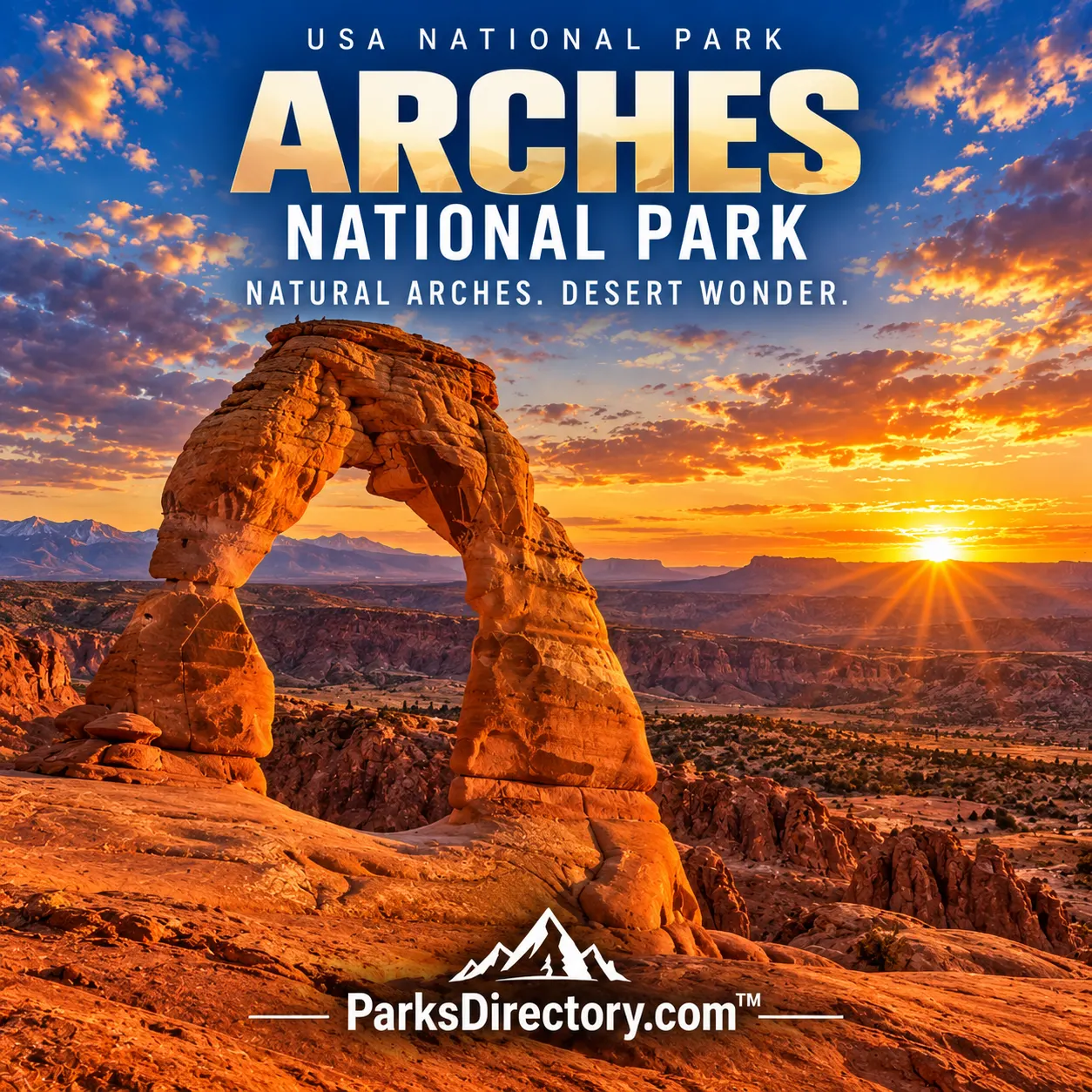
Delicate Arch has become the park’s most recognizable emblem. Standing apart from a larger cliff, it conveys the dramatic fragility of a freestanding sandstone opening. Landscape Arch, in Devils Garden, offers a different impression: its exceptionally slender span makes the relationship between scale, strength, and erosion particularly striking. The two formations are not simply larger and smaller versions of the same object; they demonstrate different shapes and stages within the park’s geological story.[6]
The Windows Section presents groups of prominent openings, including North and South Window and Double Arch. Balanced Rock is famous for a different reason, illustrating the unequal erosion of contrasting rock units. Near the southern part of the park, Park Avenue is known for tall walls and towers rather than a parade of arches. Together, these landmarks show that the protected landscape contains a much wider range of rock architecture than its name alone suggests.[6:1]
A living desert beneath the stone
The desert between the landmarks is not empty. Plants and animals survive through adaptations to limited water, temperature changes, and the patchy distribution of shade and shelter. Shrubs, grasses, woodland patches, and small habitats near drainage routes contribute to this ecological variety. The relationship between geology and life can be subtle: cracks catch water and sediment, rock surfaces create shade, and different soils support different vegetation. Those details are part of the park’s significance, even when they are overshadowed by its skyline.[7]
Biological soil crusts are particularly important. These living surface communities help stabilize soil and influence desert ecological processes. Damage may be visually slight while recovery is slow. Their presence gives an important corrective to the idea that only towering formations deserve attention. Protecting Arches means conserving both the conspicuous stone openings and the less obvious ground-level systems that support the landscape around them.[7:1]
Arches ultimately tells a story about time on several scales. Salt deposition and sandstone formation belong to deep geological history; Indigenous use and later settlement belong to human history; monument and park designation belong to the modern conservation era. The famous openings connect these stories without freezing them. They are protected as part of a changing desert, not preserved as permanent sculptures, and their eventual transformation is one of the very processes the park exists to reveal.
Sources
Research checked September 6, 2026. Acreage follows the scope and approximate figures of the cited sources; it is not a current boundary survey. Square-mile conversions are rounded.
National Park Service, Foundation Document. ↩︎ ↩︎
National Park Service, Arches National Park Quick Facts. ↩︎ ↩︎
National Park Service, Management. ↩︎ ↩︎
National Park Service, Geologic Formations. ↩︎ ↩︎
National Park Service, History & Culture. ↩︎ ↩︎
National Park Service, Places To Go. ↩︎ ↩︎
National Park Service, Nature & Science. ↩︎ ↩︎