Canyonlands National Park: Rivers, Rock Country, and the Making of a Desert Park
ParksDirectory.com™ | National Park Summary & History
Location, area, and national park status
Canyonlands National Park protects a vast meeting place of rivers and desert plateaus in southeastern Utah, southwest of Moab. The NPS lists 337,598 acres, approximately 527.5 square miles, encompassing land and water around the confluence of the Green and Colorado rivers. Moab is an administrative and visitor gateway, not the location of every park district. The country is divided by deep canyons, and places that look adjacent on a map can be separated by long journeys.[1]
President Lyndon Johnson signed the legislation establishing Canyonlands National Park on September 12, 1964. Congress revised its boundaries in 1971. Unlike parks that began as nineteenth-century reserves, Canyonlands emerged from twentieth-century debates over mining, grazing, roads, recreation, and the protection of large undeveloped landscapes. Its purpose includes scenic, scientific, ecological, and cultural values, rather than a single monument or viewpoint.[2]
A landscape organized by two rivers
The Green and Colorado rivers supply the park’s basic geography. Island in the Sky occupies the upland between them; the Needles lies east of the Colorado; and the Maze lies west of the Green. The rivers themselves constitute a fourth district. Their confluence is both a geographic center and a reminder that the park is a drainage system, not just a collection of red-rock formations.[2:1]
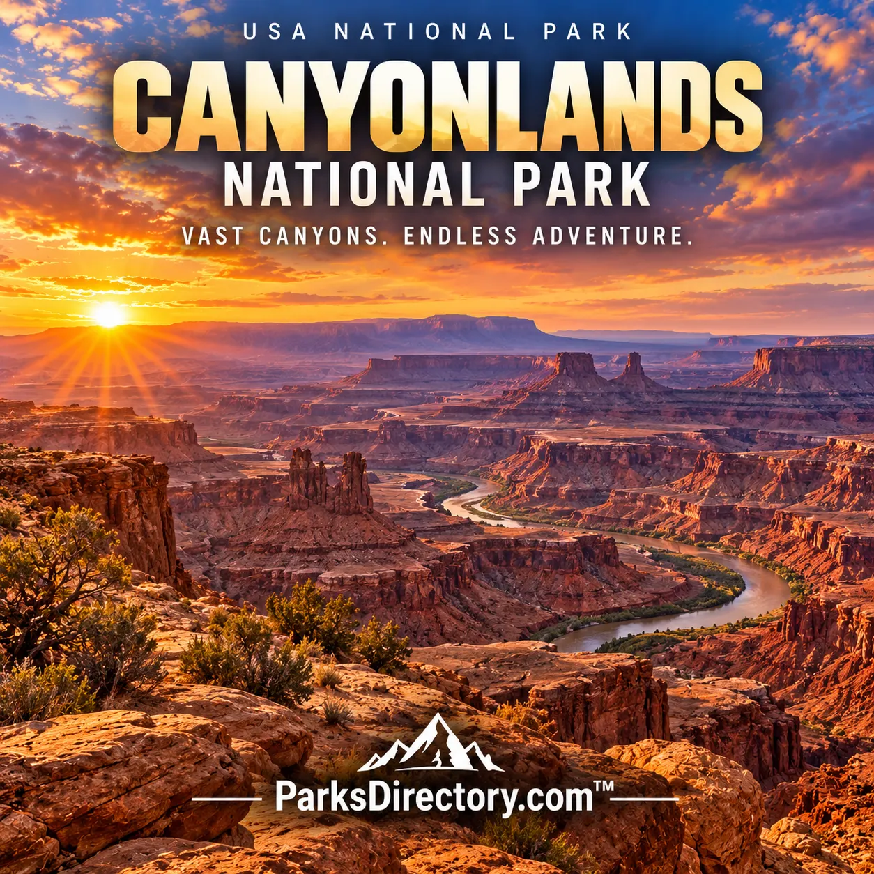
Water and gravity have exposed and removed layers of sedimentary rock, leaving mesas, buttes, cliffs, benches, arches, and towers. Ancient deposits record environments very different from today’s dry climate. The broad sandstone ledges visible from overlooks belong to larger regional layers. Tributary canyons reveal how smaller streams contribute to the same work as the major rivers. In Canyonlands, erosion is easier to understand when viewed as a connected process extending across the whole landscape.[3]
A much older human landscape
People have used this country for more than 10,000 years. The NPS recognizes connections with numerous contemporary Tribal nations, including Pueblo peoples, Ute communities, Paiute communities, and the Navajo Nation. Rock markings, storage structures, and other archaeological remains reflect different periods and ways of living. These are not traces of a single unnamed culture, and they are not evidence that Indigenous relationships with the region ended when the park was established.[4]
The detached Horseshoe Canyon unit is especially renowned for rock imagery, including the Great Gallery. Its painted figures are among the park’s most important cultural features. Elsewhere, masonry granaries and rock panels show how people understood seasonal resources and sheltered places. Such remains make the desert feel less empty and more legible. They also require restraint: viewing them without touching, entering fragile structures, or disturbing material is part of preserving their meaning.[4:1]
Ranching, extraction, and the campaign for protection
Later arrivals brought livestock, prospecting, and new transportation routes. Cowboys moved stock through demanding terrain, and twentieth-century mineral exploration increased access to areas that had previously been difficult for outsiders to reach. Old roads and trails are therefore historical evidence as well as travel corridors. Their presence should not obscure how much of the surrounding country retained its undeveloped character.[5]
The campaign for a national park gathered support from people who knew the canyons intimately and from federal advocates who saw their national significance. Bates Wilson, an influential local NPS official, became a leading champion. Secretary of the Interior Stewart Udall and others helped advance protection. The resulting legislation represented a negotiated outcome rather than a landscape suddenly “discovered” by government. Boundary changes in 1971 extended the protected area and reinforced the idea that the park needed to encompass more than its easiest overlooks.[2:2][5:1]
Island in the Sky and the White Rim
Island in the Sky offers the clearest introduction to Canyonlands’ scale. From high overlooks, visitors see a tiered landscape dropping toward distant rivers. Grand View Point and other rim perspectives reveal branching canyons, isolated rock masses, and the pale bench called the White Rim. Mesa Arch is another celebrated feature, framing the country below through a comparatively small sandstone opening.[6]
The White Rim Road follows a lower level beneath the mesa. Its importance in a summary is geographical as much as recreational: it demonstrates that Canyonlands is built in tiers. A viewpoint that seems to stand above everything is only one level within a larger system. Moving from the plateau to a lower bench changes the apparent shape of cliffs and the relationship between open space and confinement. That vertical organization is one of the park’s defining qualities.
The Needles, Maze, and river corridors
The Needles district is known for bands of red and pale sandstone forming spires, narrow passages, and broad enclosed basins. Chesler Park and the surrounding formations offer an intimate contrast to Island in the Sky’s sweeping views. Instead of looking down upon a landscape, visitors move among it, encountering repeated walls, gaps, and towers. The scenery rewards attention to close detail as well as distance.[6:1]
The Maze is more remote and difficult to reach, with a reputation built on complex terrain rather than visitor facilities. The river corridors provide another perspective entirely. Calm stretches of the Green and Colorado lead toward the turbulent country of Cataract Canyon below their junction. These distinct districts explain why Canyonlands cannot be adequately summarized as a short side trip from Moab. It is one park with several substantially different landscapes and histories of access.[6:2]
What the park preserves beyond scenery
Desert life depends on scarce water, seasonal timing, and small areas of shelter. Riparian corridors, potholes, shrublands, and biological soil communities contribute to the park’s living fabric. The visible emptiness of rock country can conceal sensitive habitats. Dark night skies and natural sound also help preserve the sense of scale that makes Canyonlands distinctive.[3:1]
The park’s historical achievement was protecting a large landscape in which rivers, geology, ecosystems, and cultural evidence could still be understood together. The 1964 designation did not erase earlier human uses, and it did not stop natural change. Instead, it created a framework for protecting the relationships among them. Canyonlands remains most memorable when seen not simply as spectacular erosion, but as an inhabited and evolving desert country whose size invites a longer view.
Sources
Research checked September 6, 2026. Acreage follows the scope and approximate figures of the cited sources; it is not a current boundary survey. Square-mile conversions are rounded.
National Park Service, Basic Information. ↩︎
National Park Service, Management and Founding Documents. ↩︎ ↩︎ ↩︎
National Park Service, History & Culture. ↩︎ ↩︎
National Park Service, Places To Go. ↩︎ ↩︎ ↩︎