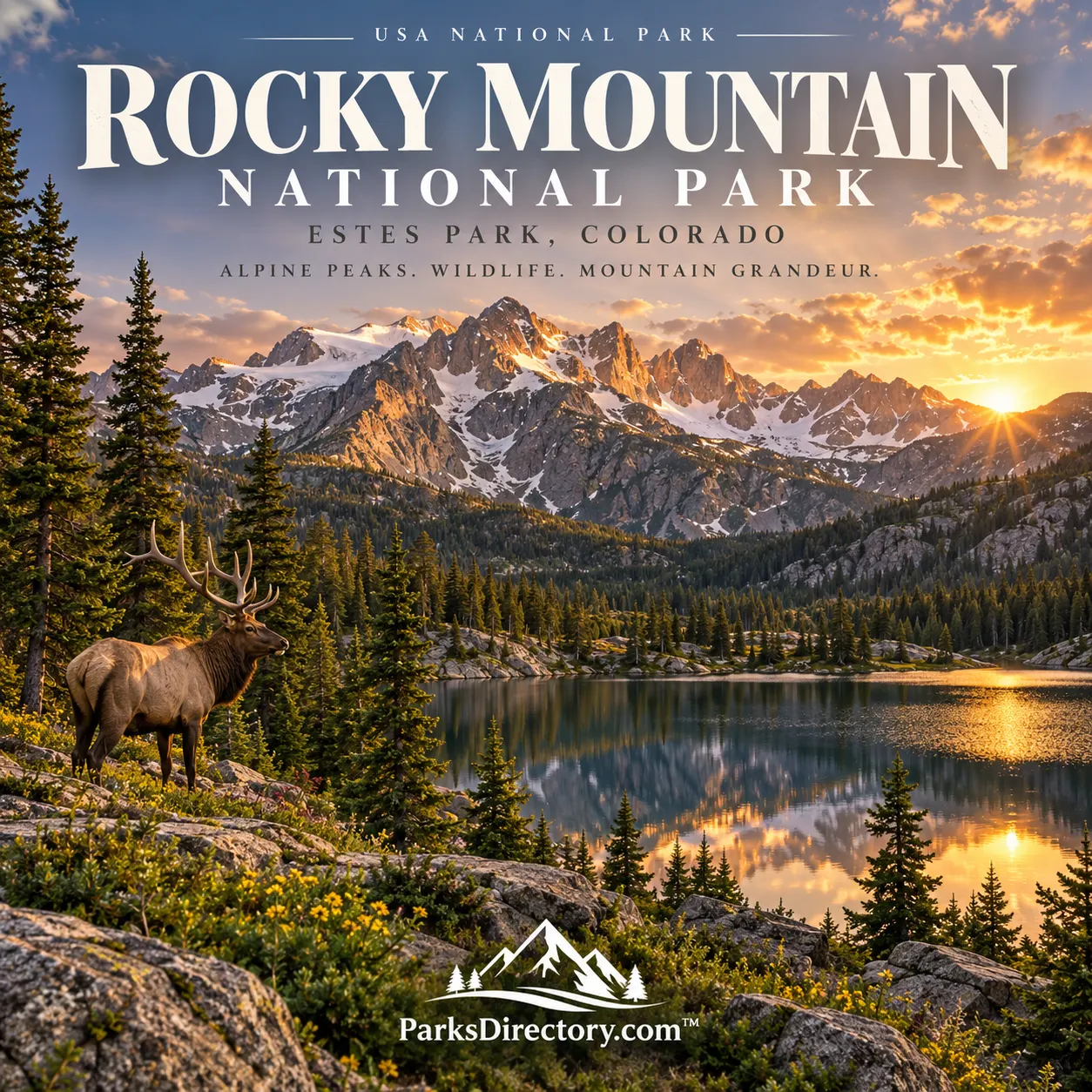
Rocky Mountain National Park: The Continental Divide, Alpine Tundra, and a Century of Protection
ParksDirectory.com™ | National Park Summary & History
Colorado’s high-country national park
Rocky Mountain National Park brings together the environments that have made Colorado’s mountains internationally recognizable: broad valleys, forests, lakes beneath steep walls, exposed tundra, and peaks rising above the Continental Divide. Its appeal lies partly in how clearly those environments change with elevation. A single mountain journey can reveal several different ecological worlds.[1]
The park occupies part of the Front Range in north-central Colorado, with Estes Park as a principal eastern gateway and Grand Lake on the western side. The National Park Service lists 265,807 acres, approximately 415 square miles. The protected area straddles the Continental Divide rather than lying entirely on one side of the mountains.[1:1][2][3]
Its size makes it substantial without encompassing the entire Rocky Mountain range. The park protects a particular section of the southern Rockies, with its own geological, ecological, and human history.[2:1]
When Rocky Mountain became a national park
Rocky Mountain National Park was established on January 26, 1915, when President Woodrow Wilson signed the Rocky Mountain National Park Act. The legislation followed years of advocacy by people who believed the region’s mountain environments deserved lasting federal protection.[4]
Enos Mills became a central figure in that campaign, working with other supporters including James Grafton Rodgers. Their efforts gained momentum in the early twentieth century. The park’s creation depended on organizing, persuasion, and public support, not simply on the mountains being visibly impressive.[5]
The formal dedication took place on September 4, 1915, a separate event from the January establishment. That distinction helps clarify why both dates appear in historical accounts. The National Park Service itself was created the following year.[5:1]
An older homeland beneath the park boundary
Indigenous history in the region extends thousands of years before national-park designation. The park acknowledges ancestral and traditional relationships with the Ute, Arapaho, and Cheyenne, as well as connections with other Tribal Nations.[6]
The Nuuchiu, or Ute, used higher elevations during warmer months and moved to lower country in winter. Their seasonal movements reflected detailed knowledge of mountain resources and conditions. Places now described as remote recreational destinations were part of a familiar and meaningful landscape.[7]
These relationships did not end with the drawing of a federal boundary. The park continues to work with Tribal partners, and a complete history includes continuing connections as well as archaeological evidence. The mountains are a cultural landscape, not simply a natural setting onto which human stories were later added.[6:1][7:1]
Rocks, uplift, and the work of glaciers
The park’s scenery records geological processes operating over immense spans of time. Mountain building raised the terrain, while weathering, rivers, and glaciers reshaped it. Glacial erosion produced many of the broad valleys, steep headwalls, and lake basins that define the visitor experience.[8]
Cirques—steep-sided, bowl-like mountain hollows—are especially revealing. Chasm Lake beneath Longs Peak occupies one such setting. Scratched and polished rock surfaces, U-shaped valleys, and deposited debris provide further evidence of former glaciers.[8:1]
These features help explain why the landscape looks different from a range carved only by streams. The park’s lakes and open valleys are connected to its icy past, while present-day water continues the work of erosion and transport.[8:2]
The Continental Divide and mountain water
The Continental Divide is one of Rocky Mountain’s defining geographical features. It separates waters flowing toward different continental drainage systems and gives the park importance well beyond its boundaries. Headwaters within the protected landscape contribute to rivers including the Colorado and Cache la Poudre.[2:2]
That relationship gives high-country snow and water a wider significance. A snowfield above a trail is part of a seasonal system supporting habitats and downstream communities. The park’s mountain environments are connected to places many miles away.[2:3]
The divide is also a powerful way to understand the contrast between eastern and western approaches. Visitors encounter different valley settings and perspectives while remaining within a single protected mountain region.[3:1]
Alpine tundra and life above the trees
Alpine tundra covers approximately one-third of the park. Above treeline, wind, cold, exposure, and a short growing season shape low-growing plant communities. The open appearance can disguise how specialized—and vulnerable—these environments are.[2:4]
Trail Ridge Road provides a particularly visible progression from lower forests into the alpine zone. Aspen and ponderosa pine give way to subalpine fir and spruce, followed by the last wind-shaped trees and then open tundra. The transition turns elevation into something a visitor can read directly from the vegetation.[3:2]
These uplands are among the park’s most notable features because they make high-mountain ecology unusually visible. Their significance lies in living communities adapted to difficult conditions, not in an absence of life above the trees.[2:5][3:3]
Trail Ridge Road and the age of automobile tourism
Trail Ridge Road opened in 1932, connecting the park’s eastern and western sides with a high route through the mountains. Reaching approximately 12,183 feet, it became one of the park’s most distinctive engineering and scenic achievements.[9][10]
The road changed who could experience the alpine landscape and how quickly they could reach it. It also illustrates a continuing national-park tension: access can build appreciation for protected places while creating new responsibilities for their care.[3:4]
Its significance is therefore historical as well as scenic. The road belongs to an era when park planners developed routes intended to reveal landscapes to motorists, linking transportation design with the public experience of nature.[5:2][9:1]
Bear Lake, Longs Peak, and familiar landscapes
The Bear Lake corridor is one of Rocky Mountain’s best-known areas, connecting forests, lakes, trailheads, and mountain views. Locations such as Sprague Lake and Glacier Gorge offer different introductions to the park without requiring that every visitor pursue the same high summit.[11]
Longs Peak, rising to 14,259 feet, is the park’s highest summit and a defining landmark. Its bold form and climbing history have made it a central part of the region’s identity. The mountain’s importance does not depend on reaching the top; its presence shapes views and stories across the park.[12]
Guides, visitors, and a changing conservation story
Early lodges and guides helped establish the area’s reputation before and after 1915. Women also contributed substantially to that history. Elizabeth and Esther Burnell became licensed nature guides in 1917, and Margaret Fuller Boos worked as the park’s first female ranger-naturalist in 1928.[13]
Wildlife management provides another example of change. Elk conservation has evolved with research, public values, and understanding of habitat relationships. The park is not a place where management stopped once a boundary was drawn.[14]
Rocky Mountain’s enduring appeal comes from this combination of accessible scenery and deeper connections. Its peaks, tundra, watersheds, Indigenous relationships, and park-making history together explain why this particular section of the Rockies became a national park—and why it remains far more than a collection of mountain views.
Sources
Research checked September 6, 2026. Acreage follows the NPS park homepage; square miles are rounded. Historical road information is not a statement of current seasonal access.
National Park Service, “Rocky Mountain National Park.” https://www.nps.gov/romo/index.htm ↩︎ ↩︎
National Park Service, “Park Statistics.” https://www.nps.gov/romo/learn/management/statistics.htm ↩︎ ↩︎ ↩︎ ↩︎ ↩︎ ↩︎
National Park Service, “Trail Ridge Road.” https://www.nps.gov/romo/planyourvisit/trail_ridge_road.htm ↩︎ ↩︎ ↩︎ ↩︎ ↩︎
National Park Service, “Brief Park History.” https://www.nps.gov/romo/learn/historyculture/brief.htm ↩︎
National Park Service, “Time Line of Historic Events.” https://www.nps.gov/romo/learn/historyculture/time_line_of_historic_events.htm ↩︎ ↩︎ ↩︎
National Park Service, “Brochures,” park land acknowledgment. https://www.nps.gov/romo/planyourvisit/brochures.htm ↩︎ ↩︎
National Park Service, “Tribal Partners.” https://www.nps.gov/romo/learn/tribal-partners.htm ↩︎ ↩︎
National Park Service, “Geologic Activity.” https://www.nps.gov/romo/learn/nature/geologicactivity.htm ↩︎ ↩︎ ↩︎
National Park Service, “National Park Service Officials Close Trail Ridge Road to Vehicles for the Season,” historical opening information. https://www.nps.gov/romo/learn/news/pr_trail_ridge_road_closes_2009.htm ↩︎ ↩︎
National Park Service, “Trail Ridge Road in Rocky Mountain National Park,” historical road elevation. https://www.nps.gov/romo/learn/news/pr_trail_ridge_road_opening_2012.htm ↩︎
National Park Service, “Exploring the Bear Lake Road Corridor.” https://www.nps.gov/romo/planyourvisit/exploring-the-bear-lake-road-corridor.htm ↩︎
National Park Service, “Webcams,” Longs Peak description. https://www.nps.gov/romo/learn/photosmultimedia/webcams.htm ↩︎
National Park Service, “People.” https://www.nps.gov/romo/learn/historyculture/people.htm ↩︎
National Park Service, “The Role of Science Through a Century of Elk and Habitat Management at Rocky Mountain National Park.” https://www.nps.gov/articles/parkscience32_2_70-72_johnson_et_al_3841.htm ↩︎