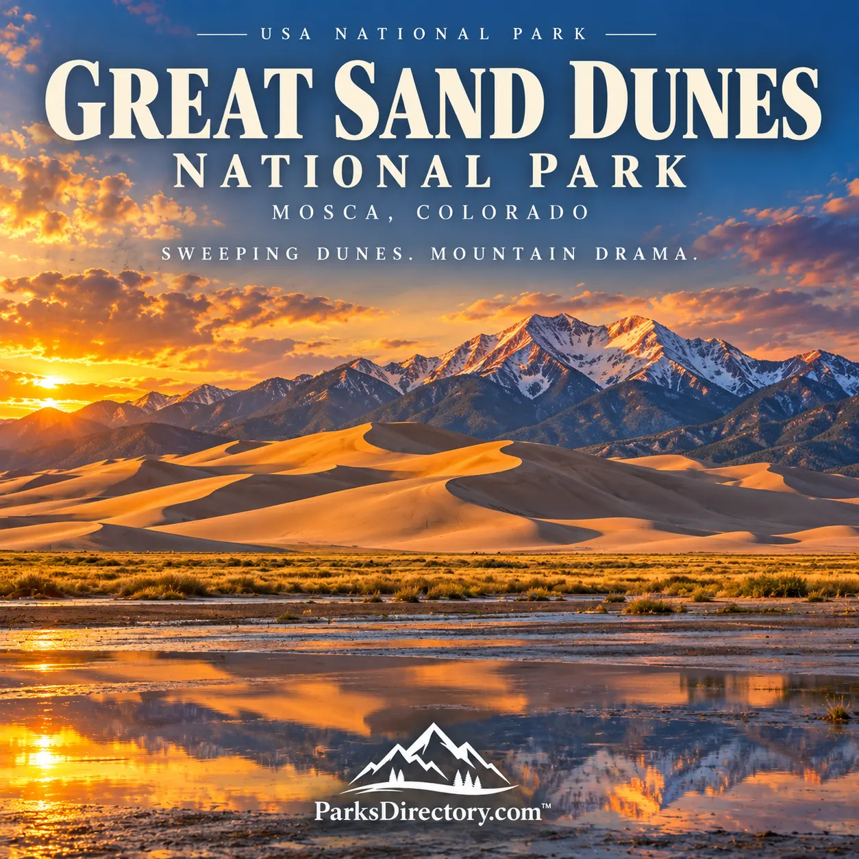
Great Sand Dunes National Park: The History of a Landscape Shaped by Wind and Water
ParksDirectory.com™ | National Park Summary & History
Location, size, and establishment
Great Sand Dunes National Park and Preserve lies in southern Colorado’s San Luis Valley, against the western flank of the Sangre de Cristo Mountains. Mosca is the nearby community associated with its mailing address. The NPS Geodiversity Atlas reports approximately 107,302 acres for the national park, while the preserve encompasses roughly 42,000 acres of mountain country. Together, those rounded descriptions represent about 149,000 acres, or approximately 233 square miles.[1][2]
The area’s first major federal protection came on March 17, 1932, when President Herbert Hoover established Great Sand Dunes National Monument. Congress authorized the expanded national park and preserve on November 22, 2000. The preserve was created through that legislation, while completion of required land acquisitions allowed the national-park transition in September 2004.[2:1][3]
The distinction matters: 2000 was the legislative turning point, but the expanded national park was not fully realized immediately. Its creation depended on protecting more than the visible dunes.
A long human relationship with the valley
People have known the San Luis Valley and the dunes for thousands of years. Archaeological evidence records hunting, gathering, movement, and adaptation to changing environments. Indigenous connections continue through tribes affiliated with the park, whose cultural relationships with the area extend beyond the categories used in federal land management.[4]
The dunes have served as a landmark within a wider landscape of mountains, water, wildlife, and travel routes. Their cultural significance is not limited to their unusual appearance. Understanding the surrounding country helps explain why people returned to this place and how its resources fitted into seasonal patterns of life.[4:1]
Later exploration, settlement, ranching, and resource extraction introduced additional histories. Historic photographs and sites record homesteads and travel through mountain canyons. These traces remind readers that the landscape surrounding the dune field was not simply a vacant buffer waiting for national-park designation. Its protection involved existing communities, landowners, and competing ideas about the valley’s future.[4:2]
The local campaign that created the monument
The monument’s creation is especially notable for the role of women in the San Luis Valley. During the early twentieth century, residents became concerned about sand removal, mining, and threats to the dunes’ surrounding resources. Initial campaigns drew attention to the landscape but did not immediately secure federal action.[5]
Elizabeth Spencer and fellow members of local P.E.O. chapters helped organize a more effective movement. Their committee work, petitions, and correspondence linked local concern with state and national decision-makers. Rather than treating the monument as a gift bestowed from Washington without local initiative, the history shows how persistent community advocacy helped make protection possible.[5:1]
Hoover’s 1932 proclamation established the national monument. That measure safeguarded the dunes and recognized their scenic, scientific, and educational value. It also created an enduring foundation for later conservation campaigns. The park’s story therefore includes two waves of local action: one centered on the dune landscape itself and another, decades later, focused on the water system supporting it.[2:2][5:2]
Why the boundary needed to expand
The late-twentieth-century campaign addressed an issue that is easy to overlook in a sand-filled landscape: groundwater. Proposals to remove large quantities of water from the valley raised concern about wetlands and the wider natural system. Protecting the visible dunes alone would not necessarily protect the processes that helped sustain them.[2:3]
The 2000 legislation authorized purchases from willing sellers and the transfer of additional public lands. The Baca property was particularly important because it included parts of the dune system, wetlands, wildlife habitat, and archaeological resources. Land acquisition in 2004 allowed the park to expand beyond the former monument’s more limited footprint.[3:1]
The preserve added high mountain watersheds, forests, alpine lakes, and tundra. The enlarged unit could therefore protect a much more complete sequence, from mountain precipitation through streams and groundwater to wetlands and dunes. Its national-park status reflects that broader ecological purpose rather than simply a change in prestige or terminology.[2:4]
How the dunes formed
The great dune mass results from the interaction of sediment, wind, water, and topography. Sand derived from surrounding landscapes accumulated in the valley and was moved by winds. The Sangre de Cristo Mountains influenced airflow, helping retain sand near their western base. Different wind directions shaped and reshaped the dune forms.[6]
Water is equally important. Creeks carry sand around the edges of the dune field, where winds can return it to the larger system. Moisture, groundwater, and surface flows influence vegetation and sediment movement. The result is not a pile of sand drifting freely across an otherwise unrelated desert, but a connected landscape with recurring pathways for material and water.[7]
Scientists have revised estimates of the dunes’ age as knowledge of the subsurface and ancient valley environments has improved. For a general summary, it is more useful to recognize that uncertainty than to attach a falsely precise birthday to the dune field. The legal creation dates are exact historical events; the natural landscape formed through a much longer, still-studied sequence.[6:1]
The park’s most notable sights
The tall dunes are the unmistakable centerpiece. Ridges, slip faces, bowls, and shifting patterns of light make their scale difficult to judge without a person or distant mountain for comparison. The NPS identifies them as the tallest dunes in North America, but their significance goes beyond height: they offer a particularly clear view of active landscape formation.[8]
Medano Creek is another defining feature. When water is present, its shallow flow beside the dunes makes the wind-and-water relationship visible. The phenomenon known as surge flow can produce small pulses as temporary sand barriers form and release. Conditions vary with snowmelt and weather, so the creek should be understood as seasonal rather than a permanent beach-like attraction.[2:5][7:1]
The Sangre de Cristo Mountains provide more than a dramatic backdrop. Their forests, alpine terrain, and headwaters belong to the protected system. The contrast between pale sand and mountain snow is striking precisely because different environments are connected within a relatively short horizontal distance.[1:1][2:6]
Wetlands, grasslands, and the wider sand sheet are less dominant in photographs but essential to the park’s identity. They support wildlife and contain ecological communities not represented by the bare dune mass. A complete overview must include these quieter environments, because protecting them was a major reason for creating the expanded park.[7:2]
The meaning of the national park
Great Sand Dunes is a national park built around relationships that first impressions can conceal. The dunes depend on more than wind; a desert-like scene depends on water; a nationally protected place owes much to local organizers. Its history rewards attention to the people and processes that sit outside the most familiar photograph.
The 1932 monument protected a remarkable landform. The legislation of 2000 and the 2004 transition expressed a more comprehensive ambition: conserving the setting that allows that landform and its neighboring habitats to persist. Today, the park’s notable dunes, mountain slopes, creeks, and wetlands together explain why its boundaries grew and why its story belongs to both natural history and community conservation.
Sources
Research checked September 6, 2026. Park acreage and approximate preserve acreage come from separately scoped NPS descriptions; the combined total is deliberately rounded. NPS pages differ on the precise September 2004 transition date, so the article gives the supported month and distinguishes it from the 2000 authorization.
National Park Service, Geodiversity Atlas: Great Sand Dunes National Park & Preserve. ↩︎ ↩︎
National Park Service, Founding Legislation: A Timeline. ↩︎ ↩︎
National Park Service, History & Culture. ↩︎ ↩︎ ↩︎
National Park Service, How the P.E.O. Saved the Great Sand Dunes. ↩︎ ↩︎ ↩︎
National Park Service, Great Sand Dunes System. ↩︎ ↩︎ ↩︎
National Park Service, Great Sand Dunes National Park & Preserve. ↩︎