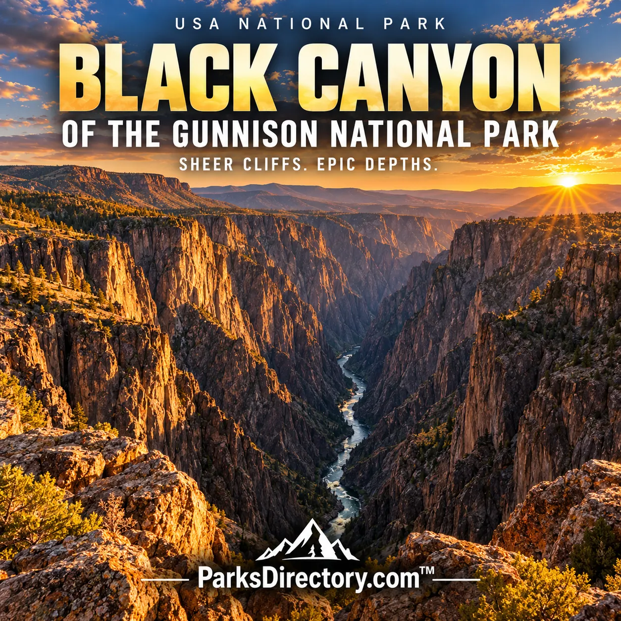
Black Canyon of the Gunnison National Park: Ancient Rock and the River That Cut Through It
ParksDirectory.com™ | National Park Summary & History
Location, area, and establishment
Black Canyon of the Gunnison National Park lies in west-central Colorado, on the western side of the Rocky Mountains. The park is in Montrose County, east of Montrose. Gunnison appears in the supplied list and in administrative mailing information, but the principal South Rim approach is near Montrose. The NPS biophysical profile lists 30,045 acres, approximately 47 square miles. This source-specific figure describes a relatively compact park whose extraordinary character comes from depth and steepness rather than enormous horizontal area.[1]
President Herbert Hoover established Black Canyon of the Gunnison National Monument on March 2, 1933. The area was expanded and redesignated Black Canyon of the Gunnison National Park on October 21, 1999. Protection focuses on a particularly dramatic portion of the Gunnison River’s canyon, not every mile of the river or every feature carrying the Black Canyon name. The 1933 and 1999 dates mark distinct stages in a continuing effort to preserve the gorge and its surrounding landscape.[2]
What makes the canyon different
Many famous canyons are celebrated for broad panoramas and colorful sedimentary layers. Black Canyon is known instead for its narrowness, abrupt walls, and exceptionally old exposed rock. The Gunnison River occupies a deep incision through hard crystalline bedrock, and parts of the gorge receive limited direct sunlight. The canyon’s name expresses this shadowed appearance rather than suggesting that all its rock is literally black.[1:1]
The contrast between rim and river is essential to the park’s identity. Rolling or wooded uplands can give little warning of the dramatic drop nearby. At the edge, the landscape suddenly changes from an apparently ordinary high-country surface to a steep, complicated system of walls, gullies, and rock towers. This compressed relationship between accessible rim country and difficult inner canyon explains much of its power as a scenic and geological landscape.[1:2]
Ancient bedrock, much younger erosion
The canyon exposes very old metamorphic and igneous rocks, including dark rock cut by lighter-colored intrusions. These patterns record geological events far older than the canyon itself. The pale bands visible in some walls are not painted markings or sedimentary stripes. They reflect molten material entering fractures and later cooling within older rock, followed by uplift and exposure over an immense span of time.[3]
The gorge was carved much more recently. The NPS describes the Gunnison River and weathering processes as shaping the canyon over approximately the past two million years. Its geological story includes uplift, volcanism, and a river maintaining a course while cutting into resistant material. This is a useful distinction for any summary: the age of the exposed rock is not the age of the opening through it. Black Canyon reveals deep geological history through a comparatively recent act of erosion.[3:1]
A river with exceptional cutting power
The Gunnison’s steep descent through the canyon helped give it the energy needed to erode hard bedrock. Water carried sediment that contributed to abrasion, while fractures and other weaknesses influenced how rock broke away. The result was not a smoothly uniform trench but a complex gorge in which different surfaces, orientations, and rock properties produced contrasting forms. Side drainages and gravity added further detail to the river’s work.[4]
This history can be read in the relationship between the narrow river corridor and the walls above it. The canyon demonstrates how a stream can become established across a landscape and then cut downward into older structures beneath. Its appearance is therefore the outcome of a sequence, not one dramatic event. Understanding that sequence turns the view from a simple spectacle of depth into evidence of changing landscapes, inherited river courses, and long-term geological persistence.[4:1]
Human encounters and changing uses
The surrounding region is part of the ancestral homeland of Ute peoples, whose relationships with western Colorado long predate the park. Later exploration, transportation projects, and water development brought different ambitions to the Gunnison country. The gorge attracted attention partly because it was difficult to cross or follow. Its steepness presented a practical obstacle even as its scenery encouraged scientific curiosity and public interest.[5]
Railroad construction and the historic Gunnison Tunnel belong to the wider human story of the river. They demonstrate efforts to use an environment whose terrain resisted easy engineering solutions. Not all such sites lie within the present national-park boundary, a distinction worth preserving. The canyon’s history is connected to the wider region, but regional infrastructure and the protected park are not interchangeable. Their relationship helps explain why the gorge became known both as a natural wonder and as a formidable barrier.[5:1]
The campaign for protection
Local advocates helped build the case for preserving Black Canyon as a national monument. The 1933 proclamation emphasized scenic, scientific, and educational value. Later boundary additions recognized that the views and resources of the canyon depended partly on surrounding lands. Preservation thus involved more than drawing a narrow line along the river; it required considering the rim country and the wider setting from which the gorge is experienced.[6]
The 1999 national-park designation continued that process and added protected land. Wilderness designation within much of the inner canyon further recognized the value of terrain that remains difficult to traverse. The history of protection reflects a shift from celebrating an extraordinary geological feature toward conserving a more complete natural and scenic environment. Its legal status did not make the canyon less dynamic, but it established a stronger framework for managing human impacts.[6:1]
The sights and habitats for which it is known
The Painted Wall is the park’s signature rock face, distinguished by pale bands cutting across darker ancient rock. Other overlooks reveal dramatic towers, narrow passages, and changing views into the gorge. The South Rim and North Rim offer different perspectives, while the river below remains central even when it appears only as a distant line of moving water. The most important feature is their relationship: immense vertical walls framing a persistent river.[7]
Habitats vary from pinyon-juniper woodland and oak-dominated uplands to inner-canyon environments and the riparian corridor beside the water. These changes show how elevation, aspect, shade, and moisture create ecological variety within a relatively small area. Black Canyon’s significance is therefore not exclusively geological. It protects a connected landscape in which ancient rock, recent erosion, wildlife habitats, and human conservation history meet with unusual intensity. Its modest acreage contains a remarkably large story.[3:2]
Sources
Research checked September 6, 2026. Acreage follows the scope and approximate figures of the cited sources; it is not a current boundary survey. Square-mile conversions are rounded.
National Park Service, Biophysical Description of Black Canyon of the Gunnison. ↩︎ ↩︎ ↩︎
National Park Service, Basic Information. ↩︎
National Park Service, NPS Geodiversity Atlas: Black Canyon of the Gunnison. ↩︎ ↩︎
National Park Service, History & Culture. ↩︎ ↩︎
National Park Service, Becoming a Monument. ↩︎ ↩︎
National Park Service, Black Canyon of the Gunnison National Park Overview. ↩︎