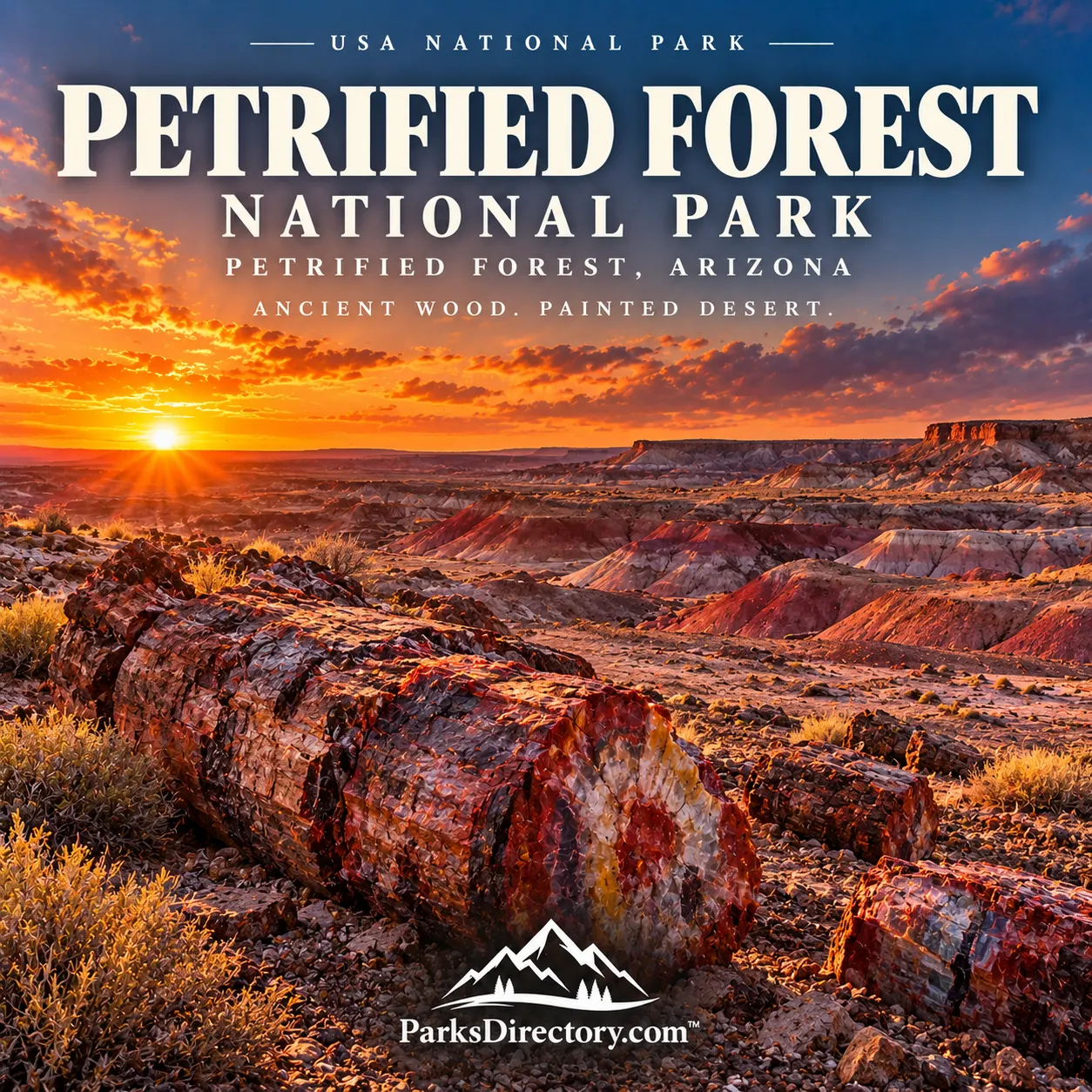
Petrified Forest National Park: Stone Trees, Painted Badlands, and Layers of Human History
ParksDirectory.com™ | National Park Summary & History
A forest preserved in stone
Petrified Forest National Park protects a landscape where ancient life appears in unexpected form. Fallen trunks glitter with quartz, hills expose bands of color, and open grasslands stretch between archaeological sites and fossil-rich badlands. The name suggests a collection of stone logs, but the park is equally important for its record of ancient ecosystems and thousands of years of human history.[1]
The park lies in northeastern Arizona, in Apache and Navajo counties, east of Holbrook and roughly 100 miles east of Flagstaff. The NPS geological overview lists approximately 221,416 acres, about 346 square miles. Other park summaries use slightly different boundary figures; this article follows the geological overview rather than implying that all published acreage totals are identical.[2]
“Petrified Forest, Arizona,” the mailing location in the park list, identifies the protected area. Its setting is part of the wider Colorado Plateau, with landscapes and fossil deposits extending beyond the national-park boundary.[2:1]
When the park was created
President Theodore Roosevelt proclaimed Petrified Forest National Monument on December 8, 1906. Early protection focused strongly on the petrified wood, which attracted collectors and commercial interest as well as scientists and sightseers. Federal designation sought to preserve a remarkable resource that could otherwise be steadily removed.[3]
Petrified Forest National Park was established on December 9, 1962. Legislation authorizing the change had been approved in 1958, but the national-park designation was completed in 1962. These dates describe separate stages, not contradictory accounts of a single event.[3:1]
Protection broadened over time. Painted Desert scenery, archaeological resources, and additional fossil-bearing lands became increasingly important parts of the park’s purpose. Legislation in 2004 more than doubled its authorized size, demonstrating that the value of the place extends beyond the best-known concentrations of petrified logs.[4]
The world before the modern desert
The park’s celebrated fossils come primarily from the Late Triassic, more than 200 million years ago. The region then contained river systems and environments very different from today’s open, comparatively dry landscape. Sediments accumulated around those waterways and eventually became layers of the Chinle Formation.[5]
This distinction is essential: the fossil trees did not grow in the modern Painted Desert and suddenly turn to stone where visitors see them now. Their history involves ancient growth, transport or burial, mineralization, geological change, and later erosion that exposed them at the surface.[5:1][6]
The badlands make some of that sequence visible. Their changing colors and shapes reflect differences among rock layers and the ways those layers erode. A scenic overlook can therefore be read as an introduction to environmental change across immense spans of time.[5:2]
How wood became rock
Petrification preserved aspects of the trees’ structure through mineral processes. Burial limited decay, while mineral-bearing water entered the wood. Silica associated with volcanic material helped form quartz within the cellular framework as the original organic material broke down.[6:1]
The resulting fossils are largely quartz, with impurities contributing reds, yellows, purples, and other colors. Their appearance combines the shape of a tree with the crystalline qualities of stone. Large segments can look deliberately cut, but clean breaks are a consequence of brittle mineralized wood responding to stress, not evidence of ancient saws.[6:2]
This process explains the park’s visual appeal without reducing it to a gemstone display. The logs retain information about plants and the environments in which they lived, making their scientific context as important as their color.[6:3][7]
More than fossil trees
Petrified Forest preserves a much broader collection of fossils than its name implies. Plants and animals together help researchers reconstruct Triassic ecosystems. The relationships between specimens and surrounding rock can reveal habitat, environmental conditions, and changes through time.[7:1]
Dinosaurs form only part of that record. The park’s sediments belong to an early chapter in dinosaur history, when many other groups of animals also occupied the landscape. Treating every large fossil reptile as a dinosaur would obscure the diversity that makes the deposits important.[8]
Research continues to expand that picture. The park maintains a record of published studies addressing ancient animals, plants, and geological relationships. Its significance is therefore not limited to discoveries made before protection: preserving fossil-bearing land also preserves opportunities for future knowledge.[9]
Human history across the plateau
The park represents more than 13,000 years of human history. Indigenous peoples used local resources, including petrified wood for stone tools, long before published nineteenth-century descriptions brought the deposits to outside audiences.[10][11]
Later communities farmed, built villages, traveled, and created rock imagery in the region. These places should be understood as evidence of lived landscapes rather than decorative additions to the geological scenery. The same river corridors that helped shape the rocks also influenced movement and settlement.[10:1][12]
The first published outside account of the area’s petrified wood came from the Whipple Expedition in 1853. Calling that the wood’s “discovery” would overlook the people who already knew and used it. The distinction is small in wording but substantial in historical meaning.[11:1]
Puerco Pueblo and community life
Puerco Pueblo preserves the remains of a village near the Puerco River. Around 1300, its more than 100 rooms may have housed approximately 200 people. The settlement’s river setting supported agriculture and connected it with routes used by travelers and traders.[12:1]
Rooms were arranged around a plaza, with domestic, storage, and ceremonial spaces reflecting the organization of community life. Nearby petroglyphs add another dimension, including a design associated with changing light around the summer solstice. These features invite attention to knowledge, architecture, and daily activity rather than only to the age of the site.[12:2]
Elsewhere, Agate House demonstrates the use of petrified wood as a building material. Its presence links the park’s geological resources directly with human choices about construction and place.[13]
Painted Desert scenery and twentieth-century travel
Blue Mesa, the Rainbow Forest area, and broad Painted Desert overlooks are among the park’s signature sights. Their contrast is part of the attraction: some places emphasize sculpted badlands, while others bring visitors close to large fossil trunks or expansive horizons.[13:1]
The Painted Desert Inn adds a different historical layer. Developed by Herbert David Lore and remodeled through Civilian Conservation Corps work in the 1930s, it served travelers associated with Route 66. Its architecture and preservation history connect the park with changing American ideas about road travel and regional design.[14]
Murals by Hopi artist Fred Kabotie provide a particularly important cultural connection. They reflect Hopi ties to the region and bring Indigenous artistic expression into a building often discussed mainly as a roadside landmark.[15]
Petrified Forest’s deepest appeal lies in these overlapping records. Ancient trees, fossil animals, villages, highways, and preserved architecture belong to different times, yet all occupy the same landscape. The park rewards visitors who see not a single vanished forest, but a place where many histories remain visible together.
Sources
Research checked September 6, 2026. Acreage follows the NPS geological overview; different NPS summaries use slightly different boundary totals. Square miles are rounded.
National Park Service, “Petrified Forest National Park.” https://www.nps.gov/pefo/index.htm ↩︎
National Park Service, “NPS Geodiversity Atlas—Petrified Forest National Park.” https://www.nps.gov/articles/nps-geodiversity-atlas-petrified-forest-national-park.htm ↩︎ ↩︎
National Park Service, “Brief Administrative History.” https://www.nps.gov/pefo/planyourvisit/brief-administrative-history.htm ↩︎ ↩︎
National Park Service, “Fast Facts.” https://www.nps.gov/pefo/planyourvisit/fast-facts.htm ↩︎
National Park Service, “Geologic Formations.” https://www.nps.gov/pefo/learn/nature/geologicformations.htm ↩︎ ↩︎ ↩︎
National Park Service, “Petrified Wood.” https://www.nps.gov/pefo/learn/nature/petrified-wood.htm ↩︎ ↩︎ ↩︎ ↩︎
National Park Service, “Fossils.” https://www.nps.gov/pefo/learn/nature/fossils.htm ↩︎ ↩︎
National Park Service, “Dinosaurs.” https://www.nps.gov/pefo/learn/nature/dinosaurs.htm ↩︎
National Park Service, “Published Research.” https://www.nps.gov/pefo/learn/published-research.htm ↩︎
National Park Service, “History & Culture.” https://www.nps.gov/pefo/learn/historyculture/index.htm ↩︎ ↩︎
National Park Service, “Frequently Asked Questions.” https://www.nps.gov/pefo/faqs.htm ↩︎ ↩︎
National Park Service, “Puerco Pueblo.” https://www.nps.gov/pefo/learn/historyculture/puerco-pueblo.htm ↩︎ ↩︎ ↩︎
National Park Service, “Places To Go.” https://www.nps.gov/pefo/planyourvisit/placestogo.htm ↩︎ ↩︎
National Park Service, “Painted Desert Inn.” https://www.nps.gov/pefo/learn/historyculture/pdi.htm ↩︎
National Park Service, “Hopi Heritage at the Inn.” https://www.nps.gov/pefo/learn/historyculture/hopi-heritage-at-the-inn.htm ↩︎