Grand Canyon National Park: Deep Time, Living Cultures, and the Colorado River
ParksDirectory.com™ | National Park Summary & History
Location, size, and establishment
Grand Canyon National Park stretches across northern Arizona, following the Colorado River through one of the world’s most recognizable landscapes. The park’s published 2025 statistics give its area as 1,218,375 acres, approximately 1,904 square miles, and describe 278 river miles within the protected corridor. The canyon is not a single opening beside a visitor center; it is a vast branching system of cliffs, tributary drainages, plateaus, and river environments.[1]
Congress established the national park on February 26, 1919. Earlier federal measures included a forest reserve in 1893 and Grand Canyon National Monument in 1908. The 1975 Grand Canyon National Park Enlargement Act substantially reshaped the protected area. These milestones explain why the park’s present extent should not be treated as identical to its original 1919 boundaries.[1:1]
The South Rim is its most familiar public face, but the higher North Rim and remote inner canyon reveal different environments. Their contrasting elevations help account for the striking changes in vegetation and temperature across the landscape.
A canyon with many human histories
The Grand Canyon is a homeland and sacred landscape for multiple Indigenous nations. Havasupai, Hopi, Hualapai, Navajo, Southern Paiute, Zuni, and other associated communities maintain relationships with places, waters, ancestral sites, and cultural traditions connected to the canyon. Those relationships cannot be reduced to an archaeological chapter that ended when a national park was created.[2]
The park contains evidence of habitation, farming, travel, and resource use over thousands of years. Archaeological remains are one source of knowledge, but tribal histories and living cultural practices provide perspectives that objects alone cannot supply. The canyon’s significance as a place of origin, belonging, or spiritual responsibility is different from its significance as a recreational destination.[2:1]
Later arrivals introduced exploration, mining claims, tourism enterprises, and federal management. The park’s history includes both protection of an extraordinary landscape and restrictions that affected Indigenous people. Recognizing those overlapping histories makes a more complete account possible than the familiar narrative of outsiders first appreciating and then saving an unknown natural wonder.[3]
From scenic attraction to protected national park
Federal protection developed gradually, despite the canyon’s spectacular appearance. Proposals for a national park preceded its eventual establishment by decades. The 1893 forest reserve and Theodore Roosevelt’s 1908 monument designation helped protect the area while national-park proposals continued to face political and economic obstacles.[1:2]
Tourism also changed the South Rim before 1919. The arrival of rail service in 1901 encouraged the growth of Grand Canyon Village. Lodging, transportation, photography, and visitor services became part of the canyon’s public identity. Buildings and trails from this period now have historical significance of their own, showing how Americans learned to experience a landscape that had already attracted many earlier communities.[4]
Architecture became an important part of that experience. The village and the buildings associated with designer Mary Colter helped create a distinctive approach to presenting scenery and regional history. Their story is not separate from the park’s conservation history: visitor facilities shaped where people gathered, what they saw, and how they understood the canyon.[4:1]
Reading the rock record
The Grand Canyon is especially important because erosion has exposed an enormous geological record. Its layered walls reveal sedimentary deposits formed in different ancient environments, while older igneous and metamorphic rocks appear in parts of the inner canyon. Changes in color, texture, and resistance to erosion create the sequence of cliffs, slopes, and ledges that gives the landscape its architecture.[5]
The age of the rocks is not the same as the age of the canyon. Ancient layers existed long before the Colorado River cut the present landscape. River incision, uplift, weathering, tributary erosion, and slope failures all contributed to the canyon’s development. This distinction helps prevent a common misunderstanding: the Grand Canyon did not take billions of years to become its current shape simply because some exposed rocks are extremely old.[5:1]
Water remains an active force. The river carries sediment and cuts through the landscape, while tributary floods and groundwater emerging from springs alter smaller environments. Rockfall and erosion continue along the walls. The canyon is consequently both an archive of past events and a working geological system whose details are still changing.[5:2]
The sights and features that define the park
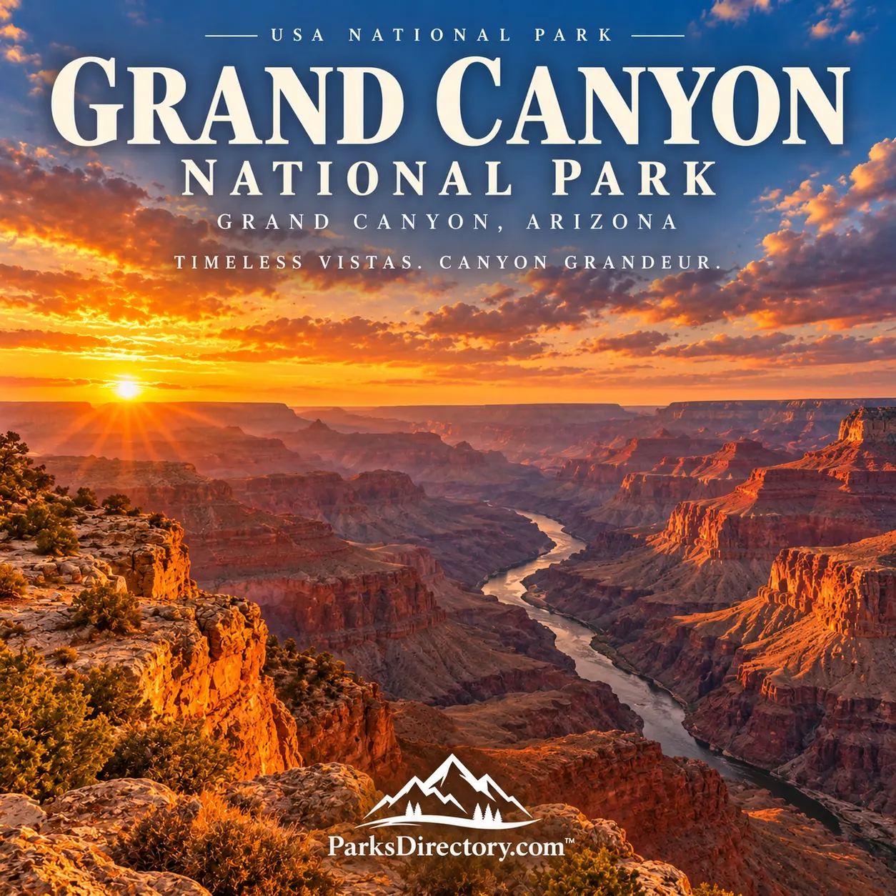
The classic rim panorama is the park’s most immediate attraction. Mather Point, the views around Grand Canyon Village, and the overlooks along the South Rim reveal a succession of buttes, temples, side canyons, and distant plateaus. Light changes their apparent depth and color, making the same viewpoint look remarkably different over the course of a day.[6]
Desert View introduces a different perspective, where the river and eastern canyon become especially important to the scene. The watchtower and cultural interpretation connect a celebrated viewpoint with human meanings and regional artistic traditions. The overlook is not simply a place to collect another photograph; it offers a chance to consider the relationship between landscape and representation.[2:2][6:1]
The North Rim occupies higher country with a different forest environment and a distinct relationship to the canyon’s tributary systems. Below both rims, the Bright Angel and South Kaibab corridors and the river landscape reveal a world very different from the view above. This is a description of their geographical and historical importance, not a statement that every road, building, or trail is currently accessible.[6:2]
The Colorado River supplies the unifying feature. From the rim it may appear as a narrow ribbon, but within the gorge it becomes the organizing presence around which walls, beaches, rapids, tributaries, and riparian habitats are understood. The distance between those two perspectives is part of the canyon’s extraordinary power.
More than rock and scenery
The park’s great elevation range supports forests, woodlands, desert vegetation, and spring-fed habitats. Small wet places can have ecological importance far beyond their size. Birds, mammals, reptiles, fish, and invertebrates occupy different niches across this vertical landscape, making the canyon a biological refuge as well as a geological landmark.[7]
Grand Canyon National Park is therefore known for more than immense dimensions. It brings together deep geological time, the work of a major river, living Indigenous relationships, historic tourism, and the continuing responsibilities of conservation. Its establishment in 1919 was one turning point in those histories, not their beginning.
The most rewarding summary of the canyon is a layered one. A rim view reveals the scale; geological interpretation explains the walls; cultural history restores people to the picture. Together they show why this protected landscape became an international symbol of the national-park idea and why its meaning remains larger than any single scenic overlook.
Sources
Research checked September 6, 2026. Acreage follows the NPS 2025 park statistics page updated July 28, 2026. Historic and geographical descriptions do not imply current access, particularly in areas affected by fire or infrastructure closures.
National Park Service, Grand Canyon Park Statistics. ↩︎ ↩︎ ↩︎
National Park Service, Associated Tribes. ↩︎ ↩︎ ↩︎
National Park Service, History & Culture. ↩︎
National Park Service, Historic Places. ↩︎ ↩︎
National Park Service, Geologic Formations. ↩︎ ↩︎ ↩︎
National Park Service, Places To Go. ↩︎ ↩︎ ↩︎