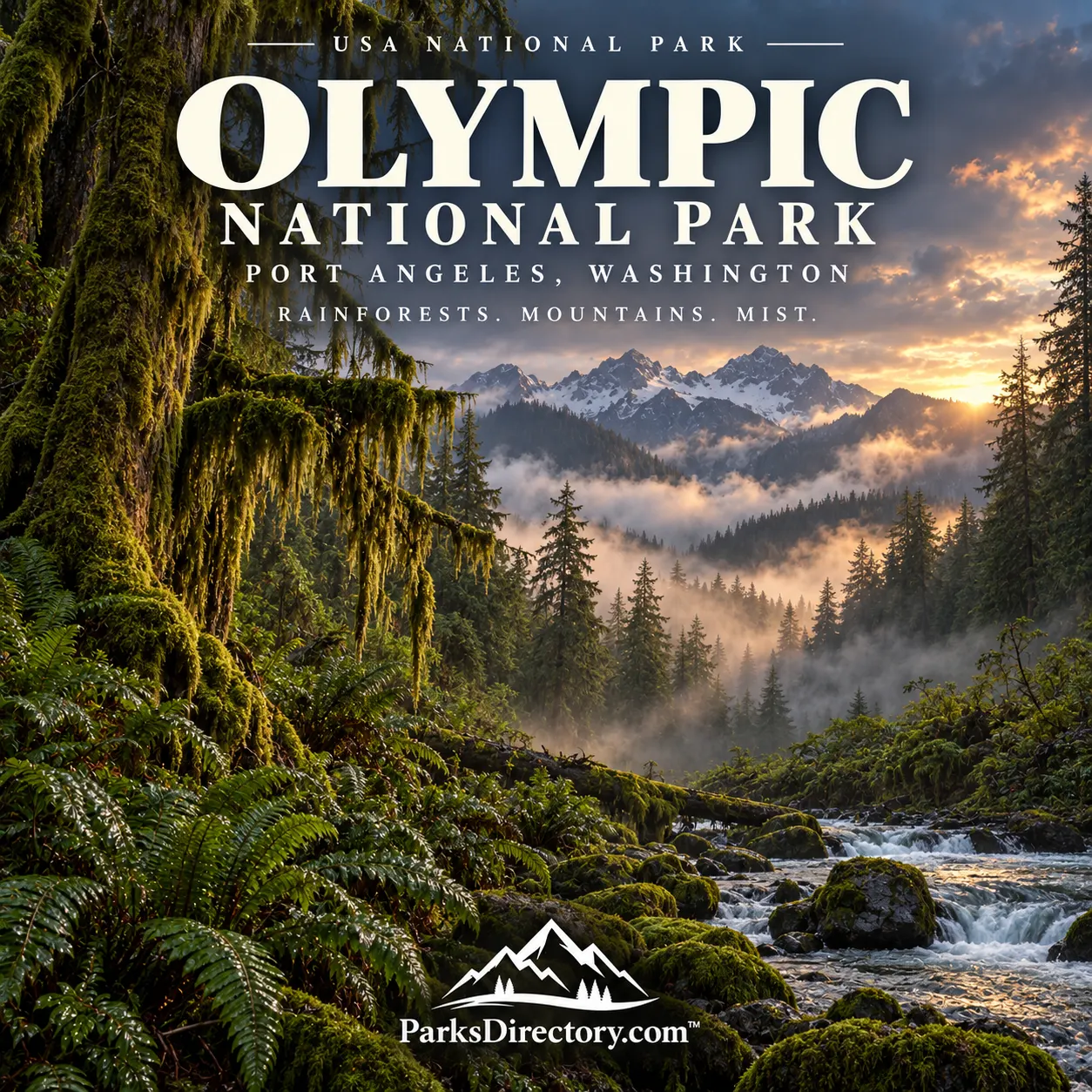
Olympic National Park: Rain Forests, Mountain Ice, and a Wild Pacific Coast
ParksDirectory.com™ | National Park Summary & History
Three landscapes within one national park
Olympic National Park is distinguished by the meeting of environments that can feel like separate worlds. Glaciated mountains rise above the interior of Washington’s Olympic Peninsula, temperate rain forests fill wet western valleys, and a protected Pacific shoreline preserves beaches, sea stacks, and tide pools. Their connection, rather than any single attraction, gives the park its exceptional identity.[1]
The park occupies portions of Clallam, Grays Harbor, Jefferson, and Mason counties in northwestern Washington. Port Angeles is a major northern gateway and the headquarters community. The NPS lists 922,651 acres, approximately 1,442 square miles, with about 95 percent designated wilderness. Its protected coastline extends for roughly 73 miles.[2][3]
Those figures describe a large and varied park, not a compact destination surrounding one entrance. The mountain interior and coastal lands have different settings, and the park’s geography is best understood as a collection of connected ecological stories.[1:1][3:1]
When Olympic National Park was created
Federal protection began with Mount Olympus National Monument on March 2, 1909, under President Theodore Roosevelt. The monument protected mountain country associated particularly with the region’s elk and forests. It was an important step, but it did not yet create the national park familiar today.[2:1][4]
Olympic National Park was established on June 29, 1938, when President Franklin D. Roosevelt signed the legislation. The designation followed years of debate over preservation, forestry, boundaries, and the future of the peninsula’s natural resources.[5]
Conservation advocates played an important role in that campaign. Rosalie Edge and the Emergency Conservation Committee pressed for strong protection, helping make the case that the forests and wildlife deserved more than a limited scenic reservation. Olympic’s creation was therefore a political and conservation achievement as well as a recognition of impressive scenery.[4:1]
A peninsula with a deep human history
The Olympic Peninsula has been inhabited for more than 13,500 years. Indigenous peoples developed enduring relationships with its rivers, forests, mountains, and marine environments. The national park’s history cannot be separated from those communities or reduced to the arrival of outside explorers.[6]
Coastal and river environments supported fishing, travel, and settlement, while inland country also held practical and cultural importance. The park recognizes continuing relationships with the peoples of the peninsula. Their knowledge and histories offer ways of understanding the landscape that differ from the familiar language of wilderness tourism.[7]
Recognizing those connections does not require treating every part of the peninsula as culturally identical. Different communities have their own histories and relationships with particular places. A thoughtful overview respects that variety rather than presenting a single generic story of Indigenous life.[7:1]
Mountains that began beneath the sea
Olympic’s mountains tell a geological story involving marine rocks, plate interactions, uplift, and erosion. Materials associated with the ocean floor were compressed and raised, then carved by ice and water. The dramatic interior is not simply an extension of the volcanic peaks of the Cascade Range to the east.[8]
The mountains also help shape the park’s climate. Moist Pacific air rises over the high country, contributing to very wet western slopes and comparatively drier conditions elsewhere. This contrast helps explain why such different plant communities occur within the same protected area.[8:1]
A map of Olympic is consequently more than a guide to destinations. It shows relationships between ocean, mountain barriers, river valleys, and rainfall. Those relationships account for much of the diversity that makes the park nationally important.[8:2][1:2]
The Hoh Rain Forest
The Hoh Rain Forest is one of Olympic’s best-known environments. Frequent rain sustains large conifers and broadleaf trees, while ferns and mosses create dense layers of green beneath and around them. The Hoh belongs to the temperate rain forests of the Pacific coast, not to a tropical climate.[9]
The Hall of Mosses offers a particularly memorable introduction to this setting. Fallen trees also deserve attention: decaying wood can support new growth, making a log part of the forest’s future rather than simply the remains of its past. The forest is an active cycle of growth, disturbance, decay, and renewal.[9:1]
That process helps explain why old-growth protection matters. A forest’s significance is not measured only by the height of its largest trees. Its structure includes standing trunks, canopy layers, fallen wood, moisture, and the organisms that depend on those conditions.[9:2]
Hurricane Ridge and the high country
Hurricane Ridge provides one of the park’s most familiar introductions to the mountains. South of Port Angeles, its open upland setting contrasts strongly with the enclosed feeling of the rain forest. Mountain views and seasonal wildflowers reveal another aspect of Olympic’s diversity.[10]
The interior also contains glaciers and remote valleys that connect the high country with rivers below. Seeing the mountains after visiting the western forests makes the park’s water cycle easier to imagine: snow and ice, mountain streams, larger rivers, and the ocean belong to a single connected system.[1:3][10:1]
Hurricane Ridge is best understood as a window into that system rather than a complete representation of it. Much of Olympic’s mountain landscape extends beyond developed viewpoints and remains within designated wilderness.[3:2]
The Pacific shore and its wildlife
Olympic’s coast adds a third major dimension. Rocky headlands, offshore formations, beaches, and intertidal habitats create a landscape shaped by waves and tides. Its 73 miles of protected shoreline give the park a marine character that many mountain parks do not possess.[3:3]
Wildlife reflects this breadth of habitats. Roosevelt elk are associated with the forests, while marine mammals and intertidal organisms inhabit the coastal environment. The park’s animal communities are therefore best understood through the places that support them rather than as a checklist detached from habitat.[11]
The shoreline also reinforces the limits of viewing a national park as a fixed scene. Water levels, weather, river mouths, and beach materials change. Dynamic processes are part of what the protected coast preserves.[1:4][11:1]
The Elwha River and ecological restoration
The Elwha River restoration is one of Olympic’s most important modern conservation stories. Dams completed in the early twentieth century interrupted salmon migration and changed the movement of sediment and water. The consequences reached beyond the dams themselves to the river and its surrounding communities.[12]
Following congressional authorization in 1992, dam removal began in 2011 and was completed in 2014. Removing the Elwha and Glines Canyon dams reconnected the river and opened the way for ecological recovery. The project also reflected the enduring importance of the river to the Lower Elwha Klallam Tribe.[12:1][13]
Olympic thus tells a story not only of setting land aside but of repairing past damage. Rain forests, peaks, coast, and returning river processes all contribute to its identity. Its greatest distinction is the opportunity to see conservation working across an entire landscape rather than around a single celebrated landmark.
Sources
Research checked September 6, 2026. Acreage follows the NPS park fact sheet; square miles are rounded. Historical descriptions of visitor areas do not imply that particular facilities or roads are currently open.
National Park Service, “Olympic National Park.” https://www.nps.gov/olym/index.htm ↩︎ ↩︎ ↩︎ ↩︎ ↩︎
National Park Service, “NPS Geodiversity Atlas—Olympic National Park, Washington.” https://www.nps.gov/articles/nps-geodiversity-atlas-olympic-national-park-washington.htm ↩︎ ↩︎
National Park Service, “Olympic Fun Facts.” https://www.nps.gov/olym/learn/management/olympic-fun-facts.htm ↩︎ ↩︎ ↩︎ ↩︎
National Park Service, “Rosalie Edge.” https://www.nps.gov/people/rosalie-edge.htm ↩︎ ↩︎
National Park Service, “Olympic National Park Invites Public to Share Memories in Online 75th Anniversary Album.” https://www.nps.gov/olym/learn/news/olympic-national-park-invites-public-to-share-memories-in-online-75th-anniversary-album.htm ↩︎
National Park Service, “History & Culture.” https://www.nps.gov/olym/learn/historyculture/index.htm ↩︎
National Park Service, “The People of the Olympic Peninsula.” https://www.nps.gov/olym/learn/the-people-of-the-olympic-peninsula.htm ↩︎ ↩︎
National Park Service, “Geology.” https://www.nps.gov/olym/learn/nature/geology.htm ↩︎ ↩︎ ↩︎
National Park Service, “Visiting the Hoh Rain Forest.” https://www.nps.gov/olym/planyourvisit/visiting-the-hoh.htm ↩︎ ↩︎ ↩︎
National Park Service, “Visiting Hurricane Ridge.” https://www.nps.gov/olym/planyourvisit/visiting-hurricane-ridge.htm ↩︎ ↩︎
National Park Service, “Animals.” https://www.nps.gov/olym/learn/nature/animals.htm ↩︎ ↩︎
National Park Service, “Elwha Brochure.” https://www.nps.gov/olym/planyourvisit/elwha-brochure.htm ↩︎ ↩︎
National Park Service, “Elwha Ecosystem Restoration.” https://www.nps.gov/olym/learn/nature/elwha-ecosystem-restoration.htm ↩︎