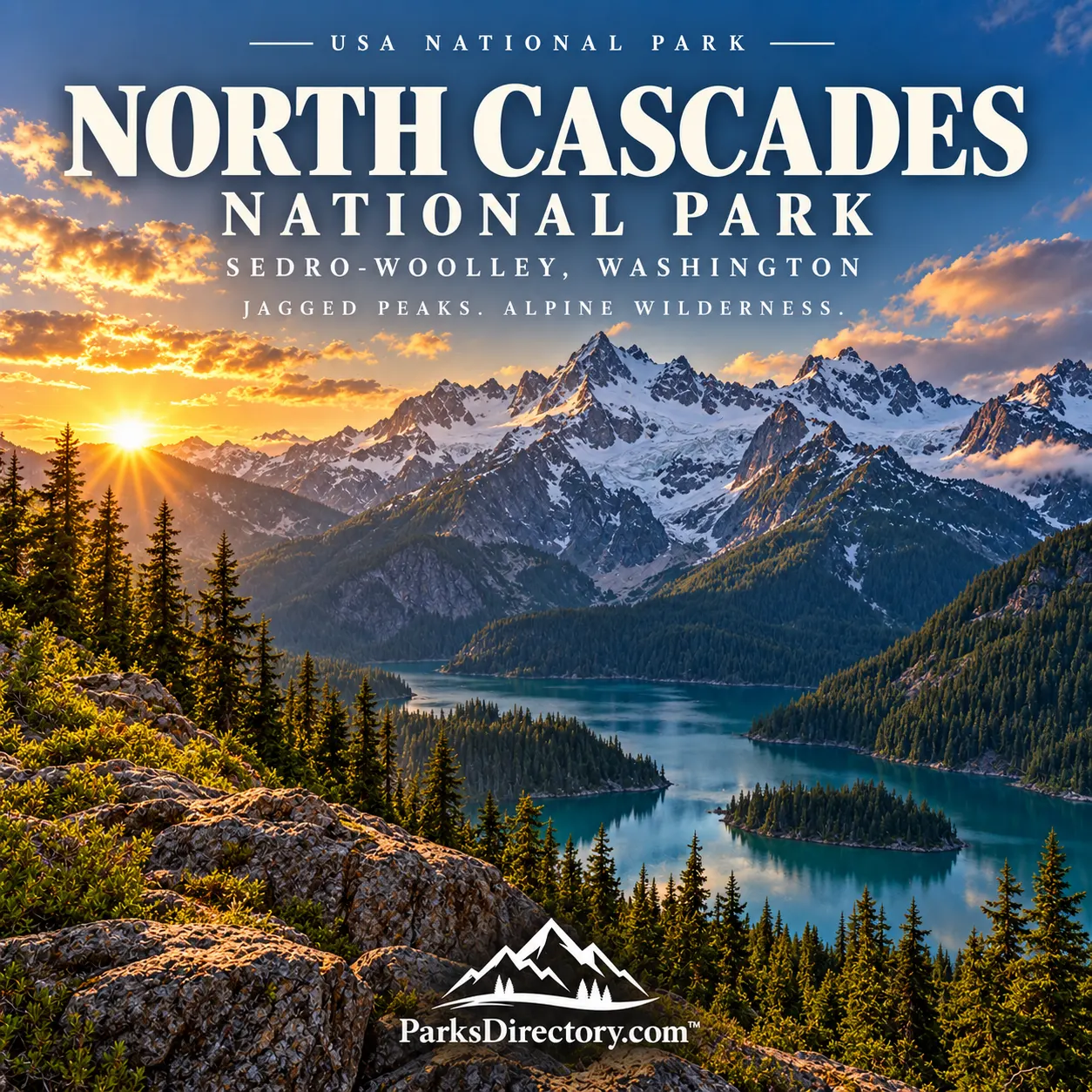
North Cascades National Park: Glaciers, Mountain Passes, and a Complex Conservation History
ParksDirectory.com™ | National Park Summary & History
A mountain landscape beyond the highway
North Cascades National Park protects a dramatic stretch of northern Washington’s Cascade Range, extending toward the Canadian border. Sharp peaks, deep valleys, forested slopes, and extensive glacial terrain give it a character distinct from the volcanic landmarks farther south. Sedro-Woolley, the community associated with its headquarters, is a western administrative gateway rather than the center of the mountain wilderness.[1][2]
The national park itself covers more than 500,000 acres, or over 781 square miles. It should not be confused with the larger North Cascades National Park Service Complex, which also contains Ross Lake and Lake Chelan national recreation areas. The NPS geological overview gives approximately 684,305 acres, about 1,069 square miles, for that combined complex.[2:1][3]
Understanding the boundaries makes a substantial difference. Some of the region’s most photographed roadside scenery belongs to the recreation areas, while much of the national park lies beyond the developed corridor. The three units are related, but their acreages and legal designations are not interchangeable.[4]
When the park was created
North Cascades National Park was established on October 2, 1968, when President Lyndon B. Johnson signed Public Law 90-544. The same legislation created the two adjoining national recreation areas. The arrangement protected mountain scenery while recognizing the different uses and histories of the major lake and river corridors.[4:1]
The national park consists of northern and southern sections separated by the Ross Lake corridor. Rather than drawing one simple boundary around every attraction, Congress created a connected system with different management responsibilities. That structure explains why “North Cascades” can mean either the mountain region, the specific national park, or the broader administrative complex.[4:2]
The 1968 designation also placed North Cascades within a period of expanding federal wilderness and environmental protection. Its central conservation value lay in a large, rugged mountain system rather than a single famous viewpoint or a developed scenic loop.[2:2][4:3]
Indigenous routes through the mountains
Long before federal designation, Indigenous peoples traveled through and used the North Cascades. Mountain passes connected communities on opposite sides of the range, while valleys and lakes formed routes for trade, gathering, and other activities. The apparent remoteness of the high country should not be mistaken for an absence of human history.[5]
Cascade Pass is particularly important in this story. People associated with the upper Skagit and Lake Chelan regions crossed the mountains through this corridor. Stehekin’s name is connected with the idea of a way through, a reminder that the mountains could serve as a connection as well as a barrier.[5:1]
This perspective changes how a visitor reads the landscape. A saddle between peaks is not only a beautiful destination. It can also be part of a much older geography of movement, knowledge, and relationships that modern park boundaries do not fully describe.[5:2]
How the North Cascades were assembled
The range’s geology is more complicated than the outline of one volcano. The rocks include pieces of crust with different origins that were brought together by plate movement, altered by heat and pressure, uplifted, and exposed through erosion. The NPS describes a landscape assembled from geological terranes rather than a single uniform block.[6]
That complexity helps explain the variety of cliffs, ridges, and mountain forms. Different rocks respond differently to weathering and ice, producing a landscape of contrasting textures and shapes. Glaciers then enlarged valleys, sharpened ridges, and carved basins within the uplifted terrain.[6:1][7]
For a traveler, geology supplies a useful way to slow down. Instead of treating every peak as another version of the same view, look for differences in color, structure, and slope. Those contrasts are clues to the long and varied history contained in the range.[6:2]
The signature of glaciers
Glaciers are among the North Cascades’ most notable features. The broader complex contains hundreds of glaciers and snowfields, and the NPS identifies it as an exceptionally heavily glaciated region outside Alaska. Accumulated winter snow becomes ice, which moves gradually downhill and reshapes the ground beneath it.[7:1]
These glaciers are not simply relics from a distant ice age. They remain part of the functioning mountain environment, storing water and influencing streams, lakes, and ecological conditions. Their retreat also provides evidence of a changing climate and raises questions about the future of downstream habitats.[7:2]
The best-known mountain scenery therefore contains an ongoing environmental story. A glacier’s position, a lake’s appearance, or a bare valley wall can reveal change as well as beauty. The park’s value includes the opportunity to observe those processes across a large protected landscape.[7:3]
Settlement, mining, and the working mountains
Nineteenth-century exploration and settlement added another layer to regional history. Access along the Skagit improved after major logjams were cleared, and newcomers established homes and pursued economic opportunities. Mining, timber use, and transport shaped parts of the region before the national park existed.[8]
Surviving cultural resources include mining sites, homesteads, camps, historic lookouts, and other evidence of work in the mountains. These remains complicate the assumption that wilderness scenery has no human past. Protection often involves deciding how to preserve both ecological processes and the material traces of earlier use.[9]
The lake corridors also have histories distinct from the high peaks. That difference is reflected in the national recreation areas, which form part of the visitor experience without becoming identical to the national park surrounding them.[4:4][9:1]
Lookouts and a literary landscape
The North Cascades also occupy a place in American literary history. Writers including Jack Kerouac, Gary Snyder, and Philip Whalen worked as fire lookouts in the region during the 1950s. Their experiences helped carry images of mountain solitude and close observation to readers far from Washington.[10]
Lookout work, however, was employment with responsibilities, not simply a retreat arranged for artistic inspiration. The surviving lookout tradition connects practical forest management with the cultural influence of the mountains. A small structure on a ridge can therefore belong to several histories at once.[9:2][10:1]
Reading the famous sights correctly
Diablo and Ross lakes are iconic parts of the broader North Cascades experience, but they lie within Ross Lake National Recreation Area. Stehekin and the upper end of Lake Chelan belong to Lake Chelan National Recreation Area. Naming these distinctions does not diminish their beauty; it makes the region’s geography clearer.[4:5]
The national park’s defining character remains the rugged mountain country beyond those corridors: glaciated peaks, forested valleys, alpine environments, and routes linking them. Its most important feature is not one mandatory stop but the continuity of a large mountain landscape.[1:1]
North Cascades rewards visitors who look beyond a highway photograph. Its history joins Indigenous travel, geological assembly, working landscapes, literary memory, and modern conservation. Together, those stories explain why the park is more than a spectacular backdrop: it is a protected record of connections across mountains and through time.
Sources
Research checked September 6, 2026. Park-only acreage is intentionally rounded; the separately stated complex acreage includes both national recreation areas. No current glacier inventory or access schedule is asserted.
National Park Service, “North Cascades National Park.” https://www.nps.gov/noca/index.htm ↩︎ ↩︎
National Park Service, “NPS Geodiversity Atlas—North Cascades National Park, Washington.” https://www.nps.gov/articles/nps-geodiversity-atlas-north-cascades-national-park-washington.htm ↩︎ ↩︎ ↩︎
Bellingham Whatcom County Tourism, “North Cascades National Park,” used for the rounded park-only area of more than 500,000 acres. https://www.bellingham.org/north-cascades ↩︎
National Park Service, “Enabling Legislation.” https://www.nps.gov/noca/learn/management/enabling-legislation.htm ↩︎ ↩︎ ↩︎ ↩︎ ↩︎ ↩︎
National Park Service, “Native Peoples.” https://www.nps.gov/noca/learn/historyculture/native-peoples.htm ↩︎ ↩︎ ↩︎
National Park Service, “Geologic Formations.” https://www.nps.gov/noca/learn/nature/geologicformations.htm ↩︎ ↩︎ ↩︎
National Park Service, “Glaciers / Glacial Features.” https://www.nps.gov/noca/learn/nature/glaciers.htm ↩︎ ↩︎ ↩︎ ↩︎
National Park Service, “Settlers and Explorers.” https://www.nps.gov/noca/learn/historyculture/settlers-and-explorers.htm ↩︎
National Park Service, “History & Culture.” https://www.nps.gov/noca/learn/historyculture/index.htm ↩︎ ↩︎ ↩︎
National Park Service, “Stories.” https://www.nps.gov/noca/learn/historyculture/stories.htm ↩︎ ↩︎