Everglades National Park

Homestead, Florida · Florida outdoor places

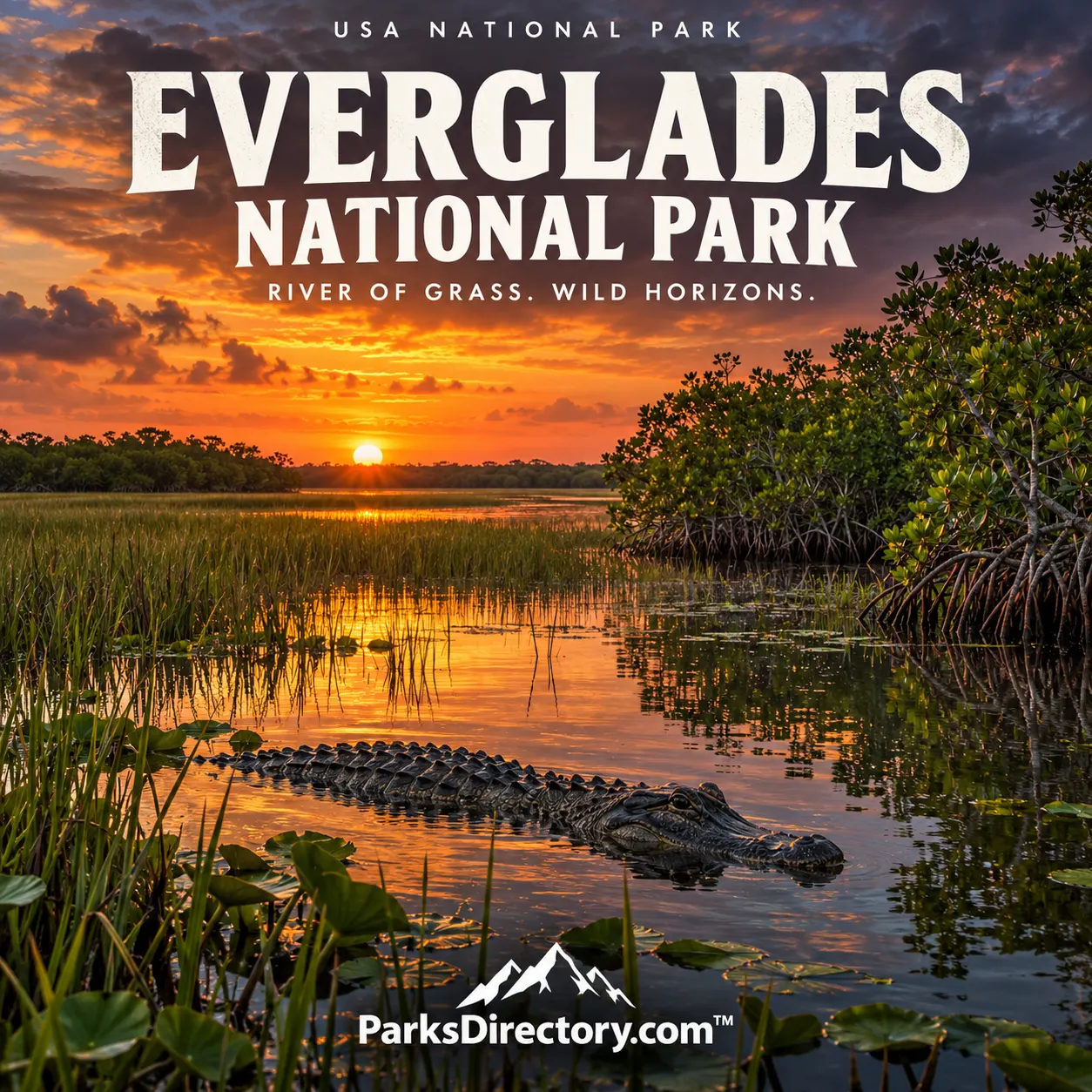
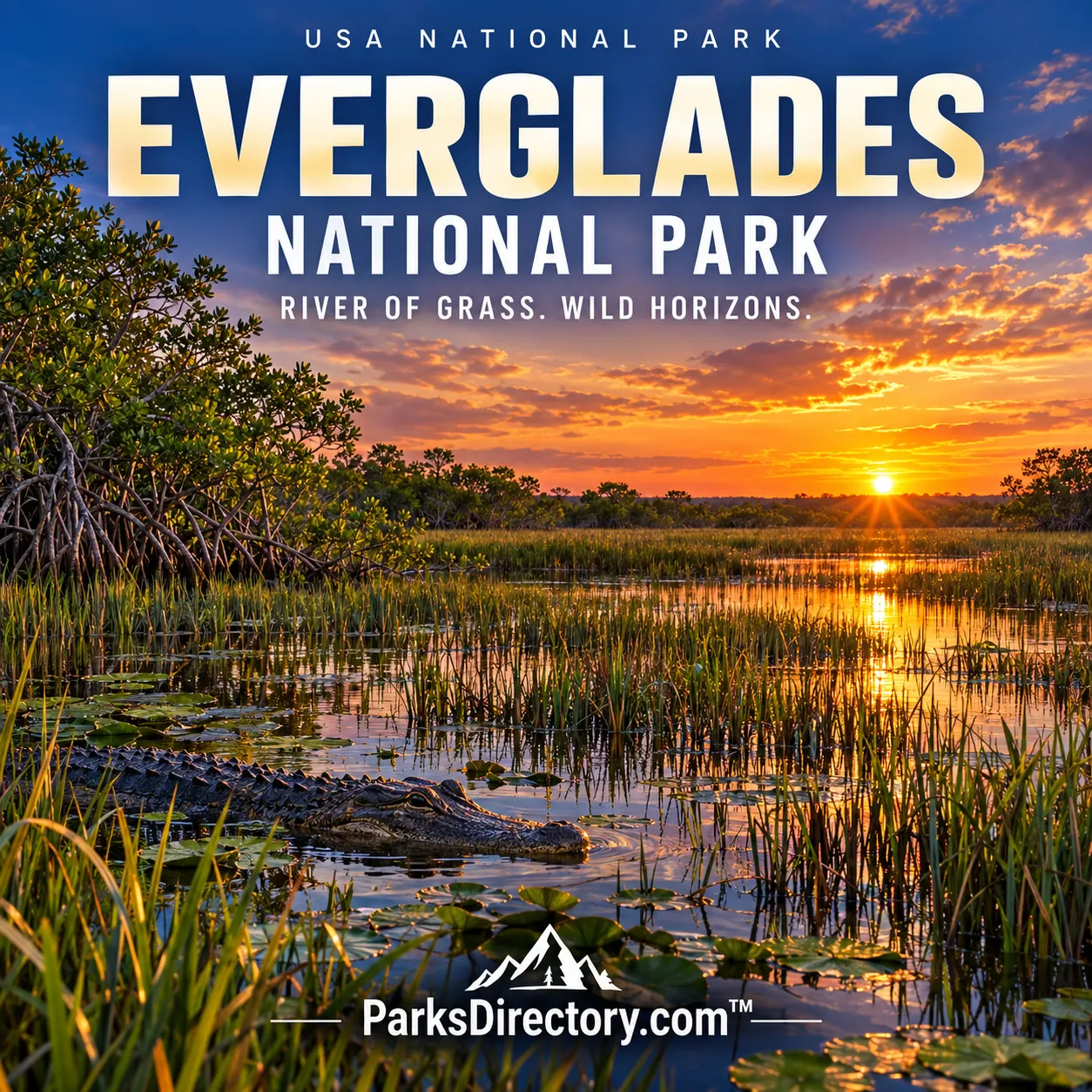
Everglades National Park Everglades National Park poster

History

Everglades National Park: The Creation and History of a Living Wetland Landscape

ParksDirectory.com™ | National Park Summary & History

Location, size, and the meaning of its founding dates

Everglades National Park occupies a vast area of southern Florida, including portions of Miami-Dade, Monroe, and Collier counties. Homestead and Florida City are associated with the main southeastern approach, while the protected landscape extends across wetlands and coastal environments toward Florida Bay and the Gulf coast. The National Park Service’s statistics page reports 1,542,526 acres including expansion, approximately 2,410 square miles, of land and water. Other NPS introductions round the scale to 1.5 million acres.[1]

Congress authorized the park on May 30, 1934, but land acquisition and boundary questions delayed its full establishment. December 6, 1947, the date of its dedication, is the principal establishment milestone used in NPS accounts. Distinguishing authorization from establishment is important: the 1934 law began a process, while the 1947 event marked the protected park becoming a reality after years of advocacy and negotiation.[2][3]

A place with a long human history

The Everglades is often imagined as a wilderness without people, but its human history is deeply interwoven with its wetlands. Indigenous communities lived in and used southern Florida long before modern drainage schemes or federal boundaries. Later settlement, transportation, commercial activity, and changing water management altered both the landscape and the lives connected to it. The national park preserves cultural resources as well as a celebrated ecological setting.[4]

This history is especially important because water is not simply scenery here. Its movement and seasonal availability influence where people can travel, what resources are available, and how land can be used. Efforts to drain or control the Everglades were therefore attempts to remake a regional system, not merely to improve a few isolated parcels. The park’s conservation history emerged from that much larger transformation of southern Florida.[2:1][4:1]

The campaign to protect the Everglades

Ernest F. Coe became a leading advocate for a national park after moving to Miami in the 1920s. In 1928, he and others organized an association dedicated to protecting the tropical Everglades. Scientists, conservationists, and civic supporters helped make the case that this landscape deserved national recognition. Its value was not based primarily on an enormous waterfall or a towering mountain, but on a remarkable assemblage of living systems.[2:2]

The 1934 authorization depended on land being acquired through donation, and the proposed boundaries raised difficult questions. The years between authorization and dedication demonstrate how much work can lie behind an apparently simple establishment date. Creating a park required more than agreement that the Everglades was special. It required land, political support, administrative decisions, and a workable protected area within a rapidly changing region.[2:3]

The National Park Service describes Everglades as the first national park created for its biodiversity. That distinction helps explain its place in conservation history. The park expanded the public understanding of what could merit national protection: not only dramatic geological features, but also wetlands, subtle elevation changes, habitat relationships, and the movement of water through a living landscape.[5]

A mosaic of habitats rather than one swamp

The Everglades includes wetland, forest, and marine habitats. Sawgrass landscapes, sloughs, tree islands, pinelands, mangroves, and coastal waters belong to a connected system. Their distribution reflects differences in water depth, duration of flooding, salinity, and elevation. These contrasts can be visually subtle, yet they have major consequences for plants and animals. Understanding the park requires attention to ecological relationships rather than a search for a single uniform “swamp.”[5:1][6]

Seasonality is equally important. Wet and dry periods change where water collects and how wildlife uses the landscape. The park’s statistics emphasize its low elevation and substantial annual rainfall. This is a place where small changes in water conditions can have extensive effects. A broad, level horizon may appear static to a first-time observer, while the system beneath that horizon is continually responding to seasonal and longer-term change.[1:1][6:1]

Wildlife and the features for which the park is known

Alligators, wading birds, turtles, fish, and mangrove environments are among the park’s most familiar associations. The Anhinga Trail is especially connected with the opportunity to observe wetland wildlife at close range from established paths and boardwalks. Its significance is not simply the number of animals a visitor might see. It provides an introduction to the relationship among open water, vegetation, and the creatures that depend on both.[5:2][7]

Shark Valley offers a broader view of the wetland landscape, including the experience of looking across a seemingly immense, low-relief environment. Flamingo connects the inland park with Florida Bay and coastal habitats. The Gulf Coast side introduces another perspective on mangrove waterways and the park’s marine edges. These areas are different expressions of the same regional system, not interchangeable entrances to identical scenery.[7:1][8]

The transition from freshwater landscapes toward salt-influenced coastal waters is one of the park’s most important features. It helps explain why protecting only the visibly green wetlands would be insufficient. Forests, estuaries, shallow water, and the sea form part of a continuum. The park’s area includes land and water because its ecological significance crosses the shoreline.[5:3][6:2]

Protection did not end the conservation challenge

Establishing Everglades National Park did not isolate it from the surrounding region. Water management, development, and environmental change outside the boundary continue to matter to the protected ecosystems. The park’s history therefore cannot be told as a problem permanently solved in 1947. Its conservation depends on understanding the wider setting and the processes that connect protected and unprotected land.[4:2][6:3]

That reality makes Everglades an especially instructive national park. A boundary can protect habitat from some direct changes, but it cannot make water, wildlife, or climate obey a line on a map. The park’s importance lies partly in revealing those limits. It offers a place to study what ecosystem protection requires when the essential processes operate at a regional scale.

Why Everglades holds a distinctive place in the system

Everglades National Park changed the visual and intellectual expectations of an American national park. Its grandeur is often horizontal rather than vertical, biological rather than architectural, and cumulative rather than concentrated in one landmark. The 1934 authorization and 1947 establishment recognized a landscape whose value could easily be overlooked by someone seeking only monumental scenery.

Its most notable achievement is the preservation of a large portion of southern Florida’s living wetland and coastal world. Its most important historical lesson is that recognizing such a world is only the beginning of protecting it. The park remains a place where natural history, human decisions, and the future of a broader region meet in the movement of water across the land.

Sources

Research checked September 6, 2026. The acreage explicitly follows the NPS statistics page’s land-and-water total including expansion; it is not interchangeable with every historical acreage figure.


  1. National Park Service, Everglades Park Statistics. ↩︎ ↩︎

  2. National Park Service, Park Establishment. ↩︎ ↩︎ ↩︎ ↩︎

  3. National Park Service, A Beginning for the Park. ↩︎

  4. National Park Service, History & Culture. ↩︎ ↩︎ ↩︎

  5. National Park Service, Everglades National Park. ↩︎ ↩︎ ↩︎ ↩︎

  6. National Park Service, Nature & Science. ↩︎ ↩︎ ↩︎ ↩︎

  7. National Park Service, Hiking Trails. ↩︎ ↩︎

  8. National Park Service, Places to Go. ↩︎

Travel guide

Everglades National Park: A Guide to Florida’s Water-Shaped Wilderness

Everglades National Park asks you to look across a landscape rather than up at it. Sawgrass, open water, mangroves, and wooded islands create an environment where small changes in elevation matter enormously. The first impression may seem simple: a broad horizon and a few birds. Stay longer, follow a boardwalk, or travel quietly along a waterway, and the scene begins to reveal its complexity.[1]

A useful first visit combines close observation with a wider perspective. Spend time beside the marsh, where plants and animals become easier to notice, then seek a view that helps explain how the habitats connect. The park is too extensive to understand through one quick stop or a single wildlife sighting.

Choose your entrance before your hotel

The main entrance near Homestead leads toward Royal Palm, Pine Island, and Flamingo. Shark Valley has a separate access point along U.S. 41, while the Gulf Coast area offers another approach to mangrove waterways. These are distinct regions, not attractions connected by one convenient internal sightseeing road.[2]

Plan accommodation around the area you intend to explore first. A base that supports an early Homestead departure may be less useful for Shark Valley. Study actual road connections rather than assuming two nearby-looking points can comfortably share the same morning.

For a short visit, select one entrance and explore it well. With several days, divide the itinerary by region. Reducing repeated driving leaves more time to appreciate why the landscapes differ and makes a weather-related change easier to manage.

Begin with Royal Palm

The Anhinga Trail offers one of the clearest introductions to the Everglades. Its short route through sawgrass marsh provides opportunities to observe birds, turtles, and alligators, although wildlife appearances depend on conditions. Under normal operating conditions, the trail is wheelchair accessible and intended for walking rather than cycling.[3]

Move slowly and look close to the water as well as into the distance. Feeding behavior, reflections, and the way an animal uses vegetation can be more revealing than a brief view of a larger species. Binoculars help, but patience is the most useful equipment.

Do not crowd animals or assume wildlife beside a busy path is tame. Keep children close and allow animals a clear route to move. A successful encounter lets you observe without changing what the animal is doing.

Find a broader perspective at Shark Valley

Shark Valley has a flat paved route used by walkers, cyclists, and tram tours, with an observation tower providing a broader view. This combination helps make sense of the wetland after seeing its details from a boardwalk.[4]

Choose your method of travel honestly. A long bicycle outing in sun and humidity is not equivalent to a neighborhood ride, even on a flat road. Consider shade, temperature, water, and the least experienced person in the group. A tram tour may better suit visitors who want interpretation without sustained exertion.

Check current reservations and bicycle arrangements before arrival. Activity capacity and parking can influence the day, so leave a margin around bookings. Reaching the entrance at a preferred hour does not guarantee immediate access to every option.

Follow habitat changes toward Flamingo

The main road introduces several environments. Pineland Trail and Mahogany Hammock provide contrasts to the open marsh, with the hammock’s enclosed woodland feeling very different from Shark Valley’s broad horizon. Short walks can therefore add variety without requiring a demanding hike.[1:1]

Flamingo brings the coastal environment into focus. Visitor information, a marina, and appropriately arranged boat or paddling trips provide ways to explore, but current services and operating details should be confirmed before planning around them.[1:2]

Give the road enough time. Several short stops can turn a modest driving distance into a full day, which is part of the experience. Carry lunch and water so an enjoyable morning does not end solely because supplies require an unplanned return drive.

Consider a guided water outing

Paddling or taking a boat tour can reveal waterways that are difficult to appreciate from land. For visitors unfamiliar with the environment, a suitable guided trip provides interpretation and practical support. Discuss the route, duration, exposure, and boarding requirements before booking.[5]

Independent paddling requires more than confidence in a kayak. Navigation, wind, tides in coastal areas, and a dependable return plan all matter. Overnight wilderness travel involves additional permits and self-sufficiency and should be planned separately from an ordinary sightseeing day.

Secure equipment, wear an appropriate flotation device, and avoid disturbing shorelines. A quiet approach improves both wildlife observation and awareness of the surroundings. Do not continue merely to preserve the itinerary when conditions suggest a shorter route or a return to shore.

Understand wet and dry seasons

South Florida’s broad seasonal pattern is more usefully understood as wet and dry than as a conventional four-season cycle. The wet season brings heat, humidity, frequent thunderstorms, and possible tropical-weather disruption. The drier period generally offers milder conditions, although fronts and wind can still change the day.[6]

For a first outdoor-focused visit, many travelers find drier conditions easier to manage. A wet-season trip can still be rewarding, but it needs shorter exposed outings, a serious lightning plan, insect protection, and flexibility. Clear skies in the morning should not determine expectations for the afternoon.

Choose clothing that protects against sun and insects while remaining comfortable in humidity. Keep a dry layer available and take breaks before discomfort becomes exhaustion. Prepare according to the actual forecast rather than relying only on a seasonal label.

Build a realistic three-day introduction

Spend the first day near Royal Palm and along the main road, selecting several contrasting short walks. Dedicate the second to Flamingo and a suitable water experience. Use the third for Shark Valley, choosing a tram or bicycle outing according to conditions and ability.

With one day, concentrate on Royal Palm and a manageable section of the main road, or make Shark Valley the centerpiece. Combining distant entrances can leave stronger memories of driving than of the wetland itself.

This is a suggested framework, not a requirement to complete every activity. Leave space for a longer observation stop, a ranger program, or a quieter afternoon when the group needs it.

Prepare your group for observation

Before the first outing, agree that wildlife is never guaranteed and proximity is not the goal. Give children a simple observation task: notice how birds feed, find different leaf shapes, or watch the relationship between open water and vegetation. This makes the day engaging even when the largest animals remain unseen.

Carry essentials in a small organized bag and keep food secured. Avoid leaving rubbish or loose objects where wind can carry them into the marsh. A little care at a picnic stop prevents problems that are much harder to fix once something has entered the water.

The Everglades is not merely a place to see an alligator. Its value becomes clearer through the connections among water, plants, birds, and coastal habitats. Use interpretation to understand those relationships and the importance of restoration.[5:1] Leave with an appreciation of a landscape that is subtle, active, and far more varied than its flat horizon first suggests.

Sources

Prepared September 6, 2026. Suggested itineraries are editorial recommendations. Check official park alerts, reservations, and operating information before traveling.


  1. National Park Service, Places to Go. ↩︎ ↩︎ ↩︎

  2. National Park Service, Trails and Access Areas. ↩︎

  3. National Park Service, Anhinga Trail. ↩︎

  4. National Park Service, Shark Valley Trails. ↩︎

  5. National Park Service, Things to Do. ↩︎ ↩︎

  6. National Park Service, Weather. ↩︎