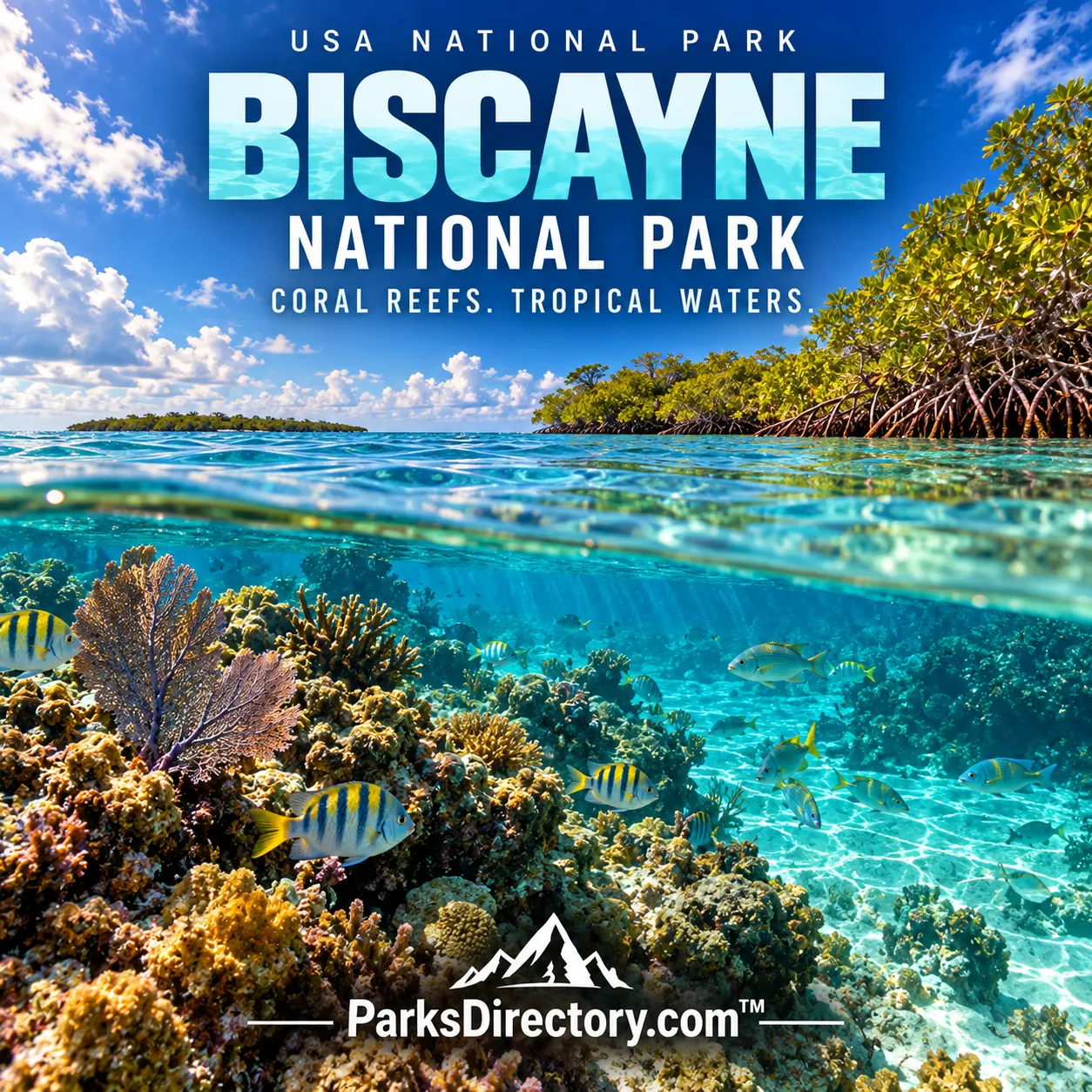
Biscayne National Park: The History of a Protected Bay, Island Chain, and Coral Seascape
ParksDirectory.com™ | National Park Summary & History
Location, size, and a park that is mostly water
Biscayne National Park lies in southeastern Florida, in southern Biscayne Bay and the northern Florida Keys, immediately south of the Miami metropolitan area. Homestead, the locality in the supplied list, is the mainland administrative and visitor-center reference. Most of the protected landscape extends offshore. The NPS geological overview gives 172,971 acres, commonly rounded to 173,000 acres, or approximately 270 square miles. This is a land-and-water total, not the area of the islands alone.[1]
About 95 percent of the park is water. That single fact changes how its size should be imagined: Biscayne is principally a protected seascape containing bay waters, islands, mangrove shoreline, reefs, and underwater cultural resources. Biscayne National Monument was established on October 18, 1968, and the expanded area became Biscayne National Park on June 28, 1980. Its history is an important example of conservation reaching beyond the traditional image of a mountainous or forested park.[1:1][2]
Four environments joined together
The park protects four closely related environments: the mainland mangrove shoreline, shallow bay waters, islands, and offshore coral reefs. These are not separate exhibits. They form connected habitats whose boundaries create especially productive ecological communities. Mangrove roots, seagrass beds, and reef structures provide different kinds of food, shelter, and nursery habitat. Fish and other animals may depend on more than one part of this sequence during their lives.[3]
That connection explains why the protection of Biscayne cannot be measured only by the condition of its most colorful reefs. Water quality, shoreline vegetation, currents, sediment, and surrounding development all influence the park. A visually quiet mangrove edge can be as important as a dramatic underwater scene. The park’s ecological significance rests on conserving relationships across the bay and coast, rather than preserving only the features most easily recognized as scenic attractions.[3:1]
A geological foundation beneath a tropical landscape
Biscayne belongs to a low, relatively young coastal region built largely on carbonate deposits. Many of its islands are formed from Key Largo Limestone, while other portions of the park are associated with Miami Limestone and younger sediments. These rocks and deposits record earlier marine environments and changes in sea level. The islands are therefore not simply piles of modern beach sand; their foundations belong to a longer geological history.[1:2]
The reef landscape adds a living dimension to that history. Reef-building organisms create structures that influence waves, habitat, and the movement of sediment. Shallow banks, channels, and islands help organize the seascape into areas with different conditions. Although Biscayne lacks the obvious vertical scale of a canyon park, its geology is equally important. Here the key relationships are often horizontal or underwater, and understanding them requires looking beyond the shoreline visible from the mainland.[4]
Human stories before federal protection
Biscayne’s cultural history reaches back thousands of years and includes Indigenous use of coastal resources, maritime travel, and later European encounters. The bay and reef tract could provide food and transportation, but they also posed navigational hazards. Shipwrecks preserve evidence of trade, technology, and the risks of moving through shallow tropical waters. These submerged sites are archaeological resources, not merely dramatic objects encountered during recreational diving.[5]
Later island communities engaged in farming, fishing, sponging, and other maritime activities. Elliott Key was once associated with a working settlement rather than only a recreational island. The Jones family history on Porgy Key and nearby islands is especially important, adding a prominent African American story to the park’s account of land ownership, agriculture, and conservation. These histories complicate the idea that the islands were empty scenery waiting to become protected.[5:1][6]
The conservation struggle behind the park
Biscayne’s protection emerged amid competing visions for South Florida’s coast. Development advocates saw possibilities for industry, transportation, and large-scale construction, while conservation supporters argued that the bay and islands had a different public value. The eventual monument was therefore not an automatic recognition of beautiful scenery. It was the outcome of a sustained effort to preserve resources threatened by powerful alternative uses.[7]
Individuals mattered within that broader movement. Lloyd Miller was a key advocate, and Lancelot Jones became closely associated with the preservation of island lands. The Jones family’s decision to sell property to the National Park Service helped secure an important part of the protected landscape. These contributions show that Biscayne’s history belongs not only to federal legislation but also to local knowledge, personal choices, and people willing to argue for a seascape whose ecological importance was not always immediately visible.[6:1][7:1]
The islands and landmarks most associated with Biscayne
Boca Chita Key is one of the park’s most recognizable places, especially because of its historic ornamental lighthouse. Built for Mark Honeywell in the late 1930s, the structure was not intended as a conventional aid guiding ships through safe channels. Its prominence today reflects a particular episode of island development and leisure history. Elliott Key, the park’s largest island, offers a different historical perspective through its connections with settlement and agriculture.[8]
The Jones Family Historic District and Lagoon connects cultural history with sheltered coastal habitat. Stiltsville, in the northern portion of the park, preserves another distinctive relationship between people and shallow water through historic elevated structures. The Maritime Heritage Trail interprets selected underwater wreck sites. Together, these places demonstrate that Biscayne’s notable features include not only natural formations and wildlife but also structures and archaeological remains shaped by the practical possibilities of the bay.[8:1]
A national park beside a major metropolitan region
Biscayne’s proximity to Miami is central to its significance. It protects marine and coastal resources beside a heavily developed region, making the boundary a meeting point between urban life and ecological systems. Wildlife such as sea turtles, manatees, birds, and reef fish is part of that larger regional context. The park cannot be understood as isolated from its neighbors, because water, animals, weather, and human impacts all move across its edges.[3:2]
The lasting achievement of Biscayne is the protection of an interconnected seascape before every part of it was converted to another use. Its 1968 monument designation and 1980 national-park status preserved room for reefs, mangroves, maritime history, and public understanding. The famous turquoise waters are the visible surface of that achievement. Beneath and around them lies a national park whose history asks readers to recognize both the beauty and the complexity of coastal conservation.
Sources
Research checked September 6, 2026. Acreage follows the scope and approximate figures of the cited sources; it is not a current boundary survey. Square-mile conversions are rounded.
National Park Service, NPS Geodiversity Atlas: Biscayne National Park. ↩︎ ↩︎ ↩︎
National Park Service, Not on an Even Keel: HMS Fowey. ↩︎
National Park Service, Nature & Science. ↩︎ ↩︎ ↩︎
National Park Service, Biscayne National Park Overview. ↩︎
National Park Service, History & Culture. ↩︎ ↩︎
National Park Service, The Joneses of Porgy Key: Arthur and Lancelot. ↩︎ ↩︎
National Park Service, Lloyd E. Miller Papers. ↩︎ ↩︎
National Park Service, Places To Go. ↩︎ ↩︎