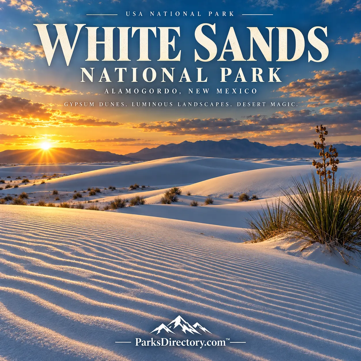
White Sands National Park: Summary, History, and a Landscape of Living Gypsum
ParksDirectory.com™ | National Park Summary & History
A white desert with an unexpected past
White Sands National Park protects a dazzling landscape in southern New Mexico, where gypsum dunes rise against distant mountain walls. Its beauty depends on contrasts: pale sand and blue sky, drifting surfaces and ancient footprints, desert dryness and the water that makes the dunes possible. The park is both a scenic destination and a research landscape, preserving evidence of changing environments and human lives much older than its modern name.[1]
For travelers, the first impression may be simplicity—white sand stretching toward the horizon. The underlying story is considerably richer. These dunes are not an isolated curiosity but part of a basin-wide system connecting mountains, mineral deposits, groundwater, wildlife, and cultural history.[2]
Location, acreage, and the larger dunefield
The park lies in the Tularosa Basin, west of Alamogordo, within New Mexico’s Otero and Doña Ana counties. The National Park Service’s geodiversity atlas lists approximately 145,762 acres, equivalent to about 228 square miles. This is the park’s overall area, not a measurement of dunes alone. The protected landscape also includes flats, lake-bed environments, and other terrain important to the formation of the sand.[3]
The larger gypsum dunefield covers roughly 275 square miles and extends beyond the national park. Confusing that regional figure with park acreage makes White Sands appear substantially larger than its actual administrative footprint. The distinction also explains why protecting the dunes requires understanding processes beyond their most photographed ridges.[4]
When White Sands became a national park
President Herbert Hoover proclaimed White Sands National Monument on January 18, 1933. Local advocacy helped secure that recognition, particularly the work of Alamogordo businessman Tom Charles. Earlier proposals had emphasized possible economic uses of the gypsum; Charles promoted its appeal as a protected attraction. The monument’s public opening celebration followed in April 1934, rather than on the date of its legal establishment.[5]
The national-park designation came much later. On December 20, 2019, legislation within the National Defense Authorization Act redesignated the monument as White Sands National Park. Consequently, 1933 marks the beginning of federal monument protection, while 2019 marks its establishment under the national-park name. The newer title did not signify the discovery of a previously unprotected landscape.[6]
How mountains became white sand
The story begins with ancient seas that left gypsum-bearing deposits. Later mountain building exposed those rocks around an enclosed basin. Rain and snowmelt dissolved the mineral and carried it downward, where water accumulated rather than draining to an ocean. Wetter climatic periods supported a much larger lake, commonly called Lake Otero.[2:1]
As conditions became drier, evaporating water left gypsum behind. Crystals formed in places such as Lake Lucero, then weathered into particles that wind could transport. Blown across the basin, those particles accumulated into dunes. Alkali Flat preserves part of the former lake-bed landscape. The result is an unusual sand system made from a soluble mineral, continually renewed by interactions among water, weather, and wind—not merely a static deposit inherited from the distant past.[2:2]
Human footprints older than the dunes
White Sands has become internationally significant for fossil human footprints. Research reported in 2021 placed some tracks at approximately 21,000–23,000 years old. A 2023 study applied independent dating approaches, including pollen radiocarbon dating and measurements of quartz grains, supporting that ancient age. These findings offer powerful evidence about people living in North America during the last ice age.[7]
The tracks belong to an older wetland environment, not the modern white desert. Animal footprints also preserve evidence of mammoths, ground sloths, and other vanished inhabitants around ancient Lake Otero. Such trace fossils record movement and behavior rather than simply the presence of bones. Their scientific importance makes protection essential: the same erosion that reveals a track can eventually destroy it.[8]
Indigenous history and later settlement
The region’s human history did not end with its ice-age inhabitants. Archaeological evidence documents later communities, including people associated with the Jornada Mogollon tradition, who farmed and made pottery. Mescalero Apache connections remain important to the wider region. A responsible account therefore treats Indigenous history as a continuing relationship with place rather than a brief prelude to federal designation.[9]
Later arrivals pursued salt extraction, ranching, and other enterprises. These activities shaped how outsiders valued the basin before tourism and conservation became dominant parts of the park’s public identity. The dunes were never a blank landscape awaiting recognition; different communities understood and used their surroundings in different ways.[9:1]
A historic entrance to a natural wonder
The visitor-center complex is itself part of White Sands’ heritage. Built during the Great Depression, principally between 1936 and 1938, its Pueblo Revival design uses adobe forms and regional architectural details. New Deal labor and investment helped transform a newly protected monument into a place that could welcome and interpret visitors.[10]
The buildings provide a useful contrast to the dunes. Their walls express an intentional architectural response to the Southwest, while the landscape beyond is continually reshaped by natural forces. Together, they reveal two forms of preservation: caring for a dynamic ecosystem and maintaining the historic structures through which generations of travelers have encountered it.[10:1]
Life adapted to brightness and movement
White Sands is not empty of life. Plants must cope with alkaline conditions, limited nutrients, shifting sand, and substantial temperature changes. Vegetation helps stabilize parts of the dunefield and supplies habitat and food. Some plants can keep pace with accumulating sand, illustrating that survival here depends on more than simple drought tolerance.[11]
Animals likewise reveal distinctive adaptations. Many avoid the harshest daytime conditions, and pale coloration helps some species blend into their surroundings. Lizards, small mammals, insects, and their predators make the dunes an ecological community rather than merely a scenic surface. Looking carefully at tracks and vegetation can reveal this activity even when animals remain out of sight.[12]
What the park is most known for
The signature attraction remains the gypsum landscape itself: curved dune crests, rippled slopes, and extraordinary changes in light. Lake Lucero and Alkali Flat add geological context, showing parts of the system that supplies and preserves the sand. The historic visitor center and fossil-footprint research broaden the story beyond the familiar postcard view.[1:1][8:1]
White Sands also sits within a region transformed by military testing and research. Surrounding military installations are distinct from the national park, even though their histories overlap geographically. Understanding those boundaries prevents another common confusion: the wider White Sands region and the protected park are not interchangeable places.[13]
Its lasting importance lies in that combination of scenery and evidence. White Sands preserves an active landscape whose beauty is immediate, but whose deeper meaning emerges through geology, archaeology, ecology, and the history of protection.[1:2]
Sources
Research checked September 6, 2026. Acreage is an approximate published park-area figure; it is not the area of the entire gypsum dunefield.
National Park Service, “White Sands Purpose and Significance Statement.” https://www.nps.gov/whsa/learn/management/white-sands-purpose-and-significance-statement.htm ↩︎ ↩︎ ↩︎
National Park Service, “Geology of White Sands.” https://www.nps.gov/whsa/learn/geology-of-white-sands.htm ↩︎ ↩︎ ↩︎
National Park Service, “NPS Geodiversity Atlas—White Sands National Park.” https://www.nps.gov/articles/nps-geodiversity-atlas-white-sands-national-monument.htm ↩︎
National Park Service, “Park Statistics.” https://www.nps.gov/whsa/learn/news/parkstatistics.htm ↩︎
National Park Service, “White Sands National Park History.” https://www.nps.gov/whsa/learn/historyculture/white-sands-national-park-history.htm ↩︎
National Park Service, December 2019 national-park designation announcement. https://www.nps.gov/whsa/learn/news/nr12212019.htm ↩︎
U.S. Geological Survey, “Study Confirms Age of Oldest Fossil Human Footprints in North America,” October 5, 2023. https://www.usgs.gov/news/national-news-release/study-confirms-age-oldest-fossil-human-footprints-north-america ↩︎
National Park Service, “Paleontology.” https://www.nps.gov/whsa/learn/nature/paleontology.htm ↩︎ ↩︎
National Park Service, “People.” https://www.nps.gov/whsa/learn/historyculture/people.htm ↩︎ ↩︎
National Park Service, “White Sands Historic District.” https://www.nps.gov/whsa/learn/historyculture/white-sands-historic-district.htm ↩︎ ↩︎
National Park Service, “Plants.” https://www.nps.gov/whsa/learn/nature/plants.htm ↩︎
National Park Service, “Animals.” https://www.nps.gov/whsa/learn/nature/animals.htm ↩︎
National Park Service, “Places.” https://www.nps.gov/whsa/learn/historyculture/places.htm ↩︎