Haleakalā National Park: Maui’s Sacred Summit and Rain-Forest Coast
ParksDirectory.com™ | National Park Summary & History
Location, size, and establishment
Haleakalā National Park occupies part of eastern Maui in Hawaiʻi, extending from the volcano’s high summit to the rain forests and coast of Kīpahulu. Makawao is its mailing locality, not a description of the full protected landscape. The National Park Service’s Geodiversity Atlas gives an area of approximately 33,265 acres, or 52 square miles. Within that comparatively compact area, elevations reach 10,023 feet at the summit.[1]
Haleakalā first received national-park protection on August 1, 1916, as the Maui section of Hawaii National Park. Legislation approved in September 1960 established it as a separate unit effective July 1, 1961. Both dates matter: 1916 marks its original inclusion, while 1961 marks the independent park known today. Its best-known features are the immense summit basin, colorful cinder cones, sunrise views, rare native species, and Kīpahulu’s waterfalls and coastal landscapes.[2][3]
A Hawaiian cultural landscape
The mountain is not an empty volcanic stage awaiting a visitor’s arrival. Native Hawaiians have maintained relationships with this land for more than a thousand years. Songs, chants, stories, place names, and family knowledge give meaning to locations throughout the summit and coastal districts. The national park’s cultural history is therefore living as well as archaeological.[4]
In traditional understandings described by the park, the summit belongs to wao akua, the realm of the gods. People traveled there for ceremony, observation, and access to suitable stone for tools. Others crossed the mountain as part of journeys between districts. These activities require a more thoughtful interpretation than describing the high country as historically unused.[3:1]
The familiar name Haleakalā, often translated as house of the sun, is associated with accounts of Māui and the sun. Such traditions should be approached as part of Hawaiian cultural knowledge, not merely as colorful additions to a sunrise excursion. The park’s emphasis on mālama, caring for the land, connects present-day preservation with responsibilities extending well before federal administration.[4:1][5]
How the protected area developed
The movement to establish Hawaii National Park initially emphasized the active volcanoes on Hawaiʻi Island. Advocates including Lorrin A. Thurston and volcanologist Thomas A. Jaggar also supported the inclusion of Haleakalā. Their efforts helped bring the Maui summit into the 1916 legislation, even though it lay on a different island from the other major volcanic landscapes.[3:2]
Early visitors reached the summit by demanding journeys, often with horses. A major change came in 1935, when the summit road opened. Depression-era public works and the Civilian Conservation Corps helped build trails and facilities, while early park staff began managing both increased visitation and the protection of vulnerable plants.[3:3]
The independent park created in 1961 subsequently expanded its reach. Protection of Kīpahulu and other lands broadened its identity beyond the high volcanic basin. This growth recognized that the mountain’s significance included watersheds, rain forests, coastal environments, and biological communities that could not be represented by the summit alone.[1:1][3:4]
Why the “crater” is not a simple crater
Haleakalā is a shield volcano, built through repeated outpourings of lava that accumulated into a broad mountain. Its familiar summit depression, however, is not simply a giant bowl produced by one explosive eruption. Water, landslides, and erosion carved an extensive valley; later eruptions partly filled it with lava and constructed cinder cones.[6]
That distinction explains the basin’s complicated appearance. Sharp cones rise within a much older eroded setting, while lava flows and changing colors record separate episodes. The view combines processes that remove material with those that build new ground. Calling everything a crater is convenient, but it conceals the interplay that makes the summit so interesting.[6:1]
The volcano is not considered extinct. Its long quiet intervals should not be confused with a guarantee that activity has ended permanently. For a general visitor, the important point is not to predict its next eruption, but to recognize that the park preserves a landscape with a continuing geological future.[6:2]
The summit’s most notable sights
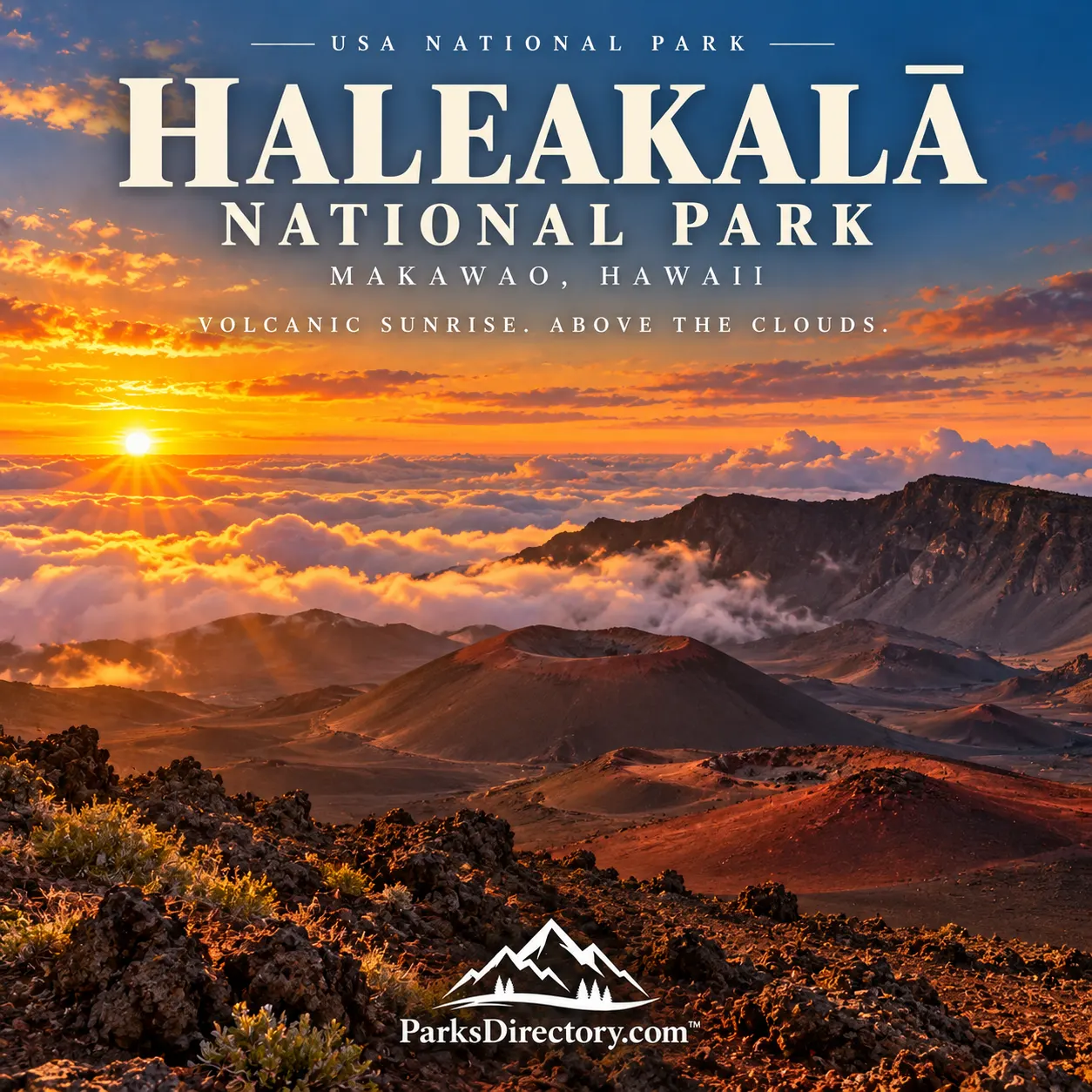
The summit district is famous for the changing relationship between light, cloud, and volcanic terrain. At sunrise, the surrounding atmosphere can make the mountain appear separated from the ocean far below. At other times, shifting cloud opens and closes views into the basin, altering the apparent scale of cones and slopes.[5:1]
The Keoneheʻeheʻe, or Sliding Sands, and Halemauʻu trail areas introduce the interior’s colors and forms. Their appeal comes partly from the contrast between a distant overlook and the closer textures of cinder, lava, and sparse vegetation. The summit landscape may appear barren, but that impression overlooks organisms adapted to its demanding conditions.[7]
The well-known Haleakalā silversword, or ʻāhinahina, is one of the park’s most distinctive plants. The native nēnē, the Hawaiian goose, is another prominent symbol. Their presence is inseparable from conservation work rather than evidence that island species automatically remain secure within a park boundary.[3:5]
Kīpahulu: the mountain meets the sea
Kīpahulu reveals a dramatically different side of Haleakalā. Reached from the Hāna side of Maui, its coastal district features streams, waterfalls, lush vegetation, and ocean views. Here, visitors encounter a landscape shaped by both abundant water and longstanding Hawaiian settlement.[8]
The Pīpīwai Trail follows the stream environment inland, while coastal paths reveal the relationship between volcanic rock and the Pacific. Freshwater organisms, including climbing gobies, offer a reminder that the district’s value is not limited to its famous scenery. Its streams connect inland habitats with the coast.[8:1]
The summit and Kīpahulu should not be imagined as adjoining roadside attractions. Their different approaches reflect the size and structure of the volcano. Together, they demonstrate how one mountain can support stark high-altitude terrain and a humid coastal environment within the same national park.[1:2][8:2]
Preservation on an isolated island
Hawaiian plants and animals evolved in profound geographical isolation. Introduced predators, grazing animals, diseases, and invasive plants therefore pose particularly serious challenges. Haleakalā’s protected forests and slopes preserve remnants of native ecosystems that require active stewardship, not merely exclusion of development.[9]
Fencing, habitat restoration, species management, research, and cooperation with neighboring watershed lands form part of that work. The park is best understood as a sanctuary sustained by effort. Its history joins Hawaiian cultural continuity, twentieth-century public protection, and the continuing defense of island biodiversity.[3:6][9:1]
For travelers, Haleakalā offers more than a spectacular dawn. Its deeper story runs from sacred summit to ocean, connecting the formation of an island with the people and species that make it a home.
Sources
Research checked September 6, 2026. The approximate acreage is the figure in the NPS Geodiversity Atlas updated in 2024, not a claim of a new boundary survey. The independent park’s effective date is taken from the establishing legislation.
National Park Service, Geodiversity Atlas: Haleakalā. ↩︎ ↩︎ ↩︎
National Park Service, Legislation Establishing Haleakalā as a Separate Park. ↩︎
National Park Service, Haleakalā Centennial. ↩︎ ↩︎ ↩︎ ↩︎ ↩︎ ↩︎ ↩︎
National Park Service, History & Culture. ↩︎ ↩︎
National Park Service, Geology of Haleakalā. ↩︎ ↩︎ ↩︎
National Park Service, Kīpahulu District. ↩︎ ↩︎ ↩︎
National Park Service, Nature & Science. ↩︎ ↩︎