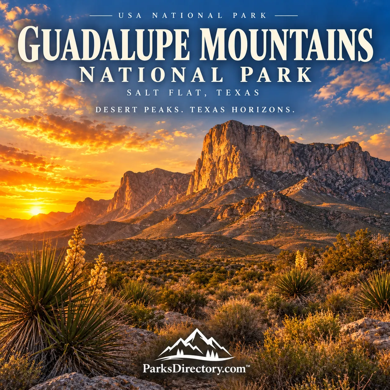
Guadalupe Mountains National Park: A Fossil Reef Above the Texas Desert
ParksDirectory.com™ | National Park Summary & History
Location, size, and establishment
Guadalupe Mountains National Park rises from the Chihuahuan Desert of far western Texas, immediately south of the New Mexico boundary. Salt Flat is the park’s mailing locality, while Pine Springs serves as a principal visitor hub. These mountains belong to a range that continues into southeastern New Mexico, but the national park itself is in Texas. Its official overview lists 86,416 acres, approximately 135 square miles.[1]
Congress authorized the park in 1966, and it was formally established on September 30, 1972. The initial park covered 76,293 acres; subsequent enlargement added desert and dune environments to the mountain core. Its most famous landmarks are Guadalupe Peak, the highest summit in Texas, and the striking limestone face of El Capitan. Equally important are its internationally significant fossil reef, secluded canyons, and unusually varied habitats.[1:1][2]
A sea preserved in stone
The park’s defining geological surprise is that its mountains contain the remains of an ancient marine world. During the Permian Period, a reef developed around the Delaware Basin. The Capitan Reef complex extended through what is now western Texas and southeastern New Mexico. Long after that sea disappeared, uplift and erosion exposed sections of the reef as imposing cliffs and ridges.[1:2]
The Guadalupe Mountains reveal different parts of this system, allowing geologists to study the relationship between reef, basin, and surrounding deposits. The fossils are not decorative curiosities added to the landscape; they are evidence explaining why the landscape exists. Looking at El Capitan becomes more meaningful when its cliff is understood as a cross-section through a vanished sea.[1:3]
This scientific importance was central to the case for a park. Guadalupe Mountains was not established solely because it contained the state’s tallest mountain. Its rocks provide reference sections useful to researchers interpreting geological time and comparing formations elsewhere. The scenery and the science reinforce each other rather than compete for attention.[1:4][2:1]
Indigenous use and continuing connections
Human history in the Guadalupes reaches far beyond the ranch buildings that survive today. The mountains provided food, shelter, materials, and precious water within a challenging desert region. For Mescalero Apache people, the range became both a refuge and a place of enduring cultural importance.[3]
Agave was especially valuable. Its fibers could be used for practical objects, while the hearts were roasted in substantial cooking pits. Mescalero knowledge of plants, animals, and seasonal movement made life possible across an environment that newcomers often described only in terms of scarcity.[3:1]
Military campaigns and the expansion of settlement displaced Apache communities during the nineteenth century. That violence belongs within the park’s history alongside stagecoach routes and ranching. The mountains remain significant to Mescalero Apache people, including through ceremonial connections with agave. Visitors should not mistake the absence of a historic village display for an absence of Indigenous history.[3:2]
Stage routes, ranches, and the search for protection
The Butterfield Overland Stage began carrying mail and passengers through the region in 1858. The Guadalupes provided an unmistakable landmark along a route whose success depended on finding dependable passages and water. Surviving historical sites help place the mountains within the larger story of transportation across the Southwest.[1:5]
Ranching subsequently transformed the surrounding land. Water sources shaped where people built homes and how they managed livestock. The J. C. Hunter family assembled extensive holdings, while other properties occupied springs, canyon mouths, and more isolated locations. Frijole Ranch and Williams Ranch preserve different aspects of this effort to live and work in a demanding setting.[4]
Petroleum geologist Wallace Pratt played a decisive role in conservation. Introduced to the area in 1921, he acquired land in McKittrick Canyon and built a stone residence there with his first wife, Pearl. Later, he and Iris Pratt developed the house called Ship on the Desert on higher ground. His geological understanding and personal attachment to the canyon helped turn private appreciation into a campaign for permanent protection.[5]
Pratt-family donations and federal acquisition of neighboring land created the foundation of the national park. Its eventual establishment in 1972 followed years of advocacy, negotiation, and administrative preparation. The buildings associated with those landowners are therefore more than picturesque remnants: they help explain how the protected landscape came together.[2:2][5:1]
Guadalupe Peak and El Capitan
At 8,751 feet, Guadalupe Peak is the highest point in Texas. Its significance is heightened by the surrounding desert, which makes the mountain’s rise especially dramatic. The high country offers a perspective on both the exposed reef and the extensive basins around it.[1:6]
El Capitan, though lower, is often the more immediately recognizable feature. Its sheer southern face forms a commanding landmark above the approach roads. The two summits should not be confused: one holds the elevation distinction, while the other supplies the park’s most characteristic profile.[1:7]
Unlike parks organized around a road across the mountain crest, Guadalupe Mountains reveals much of its interior through trails. Pine Springs provides an introduction to the escarpment and high country, while Dog Canyon, on the northern side, offers a more secluded forested setting. This geography creates a park of contrasting approaches rather than one continuous sightseeing circuit.[4:1]
McKittrick Canyon and the desert margins
McKittrick Canyon is celebrated for autumn foliage, when warm colors appear against pale rock and the surrounding desert’s subdued tones. Its sheltered water-dependent environment supports a richness not immediately apparent from the highway. The canyon demonstrates how a small difference in moisture and exposure can produce a very different landscape.[6]
That beauty also demands restraint. The canyon is an ecological refuge, not simply a backdrop for seasonal photographs. Its vegetation and water resources are part of what the park was created to preserve. Historic structures such as Pratt Cabin deepen the experience by connecting the natural setting to its conservation history.[5:2][6:1]
On the western side, the Salt Basin Dunes introduce another distinctive environment. Their pale surfaces and expansive views contrast with the rugged mountain core. These dunes help explain why later boundary additions mattered: they broadened protection beyond the most obvious peaks to include related desert landforms.[4:2]
What makes the park significant
Guadalupe Mountains combines a remarkably readable ancient reef with desert ecosystems, wooded highlands, and a complicated human past. The national park protects both monumental scenery and smaller places where water made settlement or biological diversity possible. Its history also shows the influence of landowners who helped preserve properties that might otherwise have remained divided or developed.[2:3][5:3][4:3]
For travelers, the most rewarding introduction is to connect these different scales. A distant cliff, a fossil-bearing rock, an agave roasting pit, and a stone cabin are parts of the same story. Together, they turn a striking Texas mountain range into a landscape of unusual historical and scientific depth.
Sources
Research checked September 6, 2026. Area follows the cited park overview, which includes later boundary additions. Square miles are rounded; acreage can differ between NPS summaries and land-status datasets.
National Park Service, Park Overview. ↩︎ ↩︎ ↩︎ ↩︎ ↩︎ ↩︎ ↩︎ ↩︎
National Park Service, Preserving the Guadalupe Mountains. ↩︎ ↩︎ ↩︎ ↩︎
National Park Service, Mescalero Apaches. ↩︎ ↩︎ ↩︎
National Park Service, Places To Go. ↩︎ ↩︎ ↩︎ ↩︎
National Park Service, Wallace Pratt. ↩︎ ↩︎ ↩︎ ↩︎
National Park Service, McKittrick Canyon. ↩︎ ↩︎