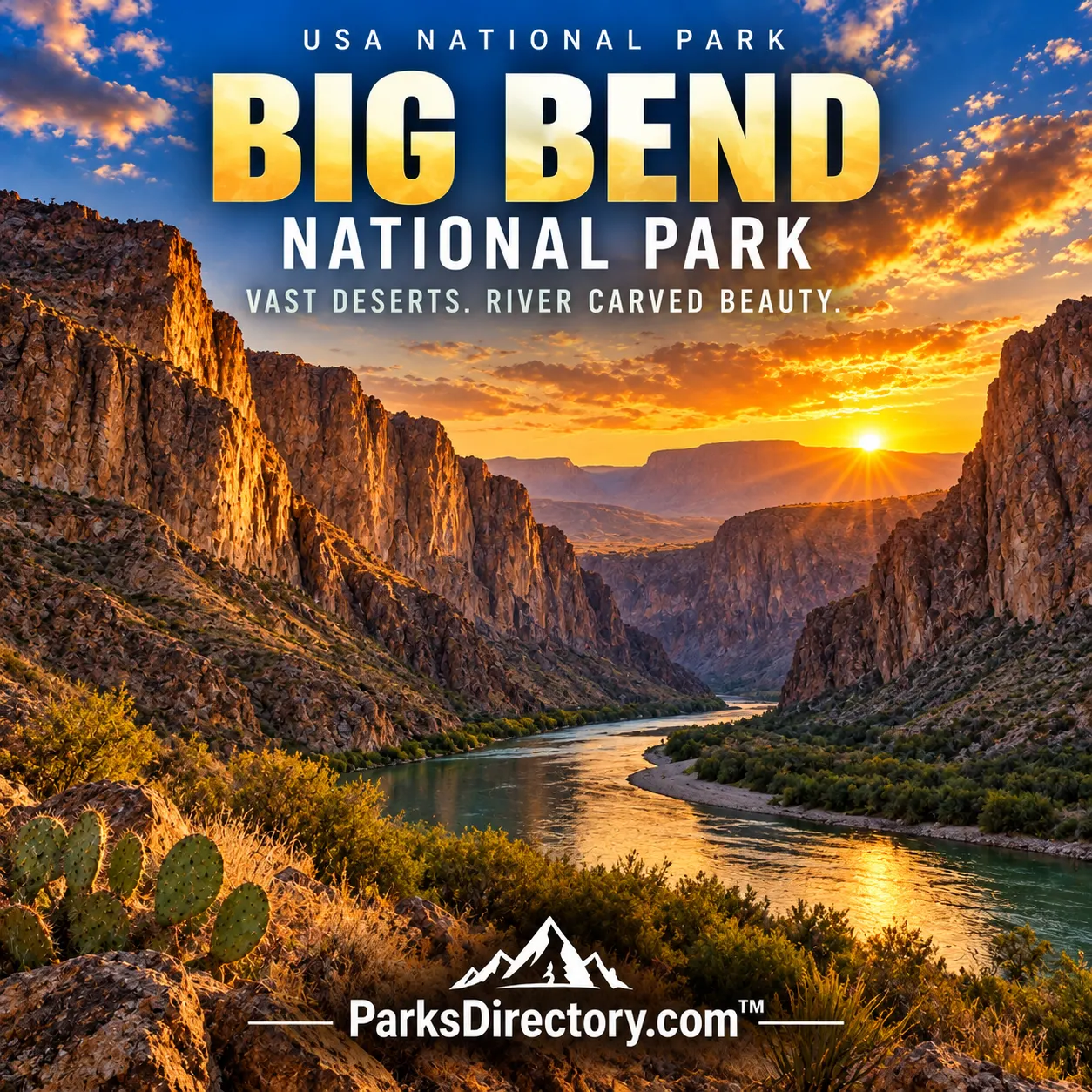
Big Bend National Park: Desert Mountains, River Canyons, and the Making of a Borderland Park
ParksDirectory.com™ | National Park Summary & History
Location, area, and the date of establishment
Big Bend National Park occupies a vast stretch of southwestern Texas, where the Rio Grande makes the great bend that gives the park its name. It lies in Brewster County beside the international boundary with Mexico. The NPS statistics page lists 801,163 acres, approximately 1,252 square miles. That total refers to the national park itself, not to nearby Big Bend Ranch State Park or the much larger network of protected lands on both sides of the border.[1]
Congress authorized a national park on June 20, 1935, and Big Bend National Park was established on June 12, 1944 after Texas assembled and transferred land. The distinction matters: the nine years between authorization and establishment were occupied by the practical work of making the proposal possible. The park’s origin is often described as Texas’s gift to the nation, reflecting the state’s central role in creating this large federal protected area.[1:1][2]
Three landscapes within one park
Big Bend is best understood through the interaction of river, desert, and mountains. The Rio Grande forms a green corridor and cuts dramatic canyons through resistant rock. Beyond it, the Chihuahuan Desert stretches across broad basins, rocky slopes, and dry drainage systems. Rising within that desert, the Chisos Mountains support cooler conditions and different vegetation. These environments are close enough to form one landscape but different enough to sustain remarkable ecological variety.[3]
The contrast also explains the park’s visual character. A canyon wall seen from the river does not resemble the same terrain viewed from a desert road or a mountain ridge. Elevation, rock type, water, and exposure change the experience of the land. Big Bend’s scale is therefore more than a statistic. Its protected area is large enough to hold a connected sequence of environments, allowing readers to understand desert ecology as a set of relationships rather than a single uniform habitat.[3:1]
Deep time in an exposed landscape
Big Bend preserves an unusually extensive and visible geological record. Sedimentary rocks reflect ancient seas, river environments, and changing life through time. Later igneous activity and deformation contributed mountains and other landforms, while erosion exposed the results. The park’s open terrain makes this sequence easier to read than in places where dense vegetation conceals much of the bedrock. Fossils and rock formations are consequently among its most important scientific resources.[4]
The fossil record includes animals from environments very different from the present desert, including large reptiles and flying reptiles. These discoveries challenge the assumption that today’s conditions describe a place’s entire past. Limestone, volcanic rock, faults, and erosion surfaces tell complementary parts of the story. The Fossil Discovery Exhibit introduces this long sequence, but the broader landscape remains the principal archive: geological time is visible across slopes, cliffs, and distant mountain profiles.[4:1]
Human history before the national park
People lived in and traveled through the Big Bend region for thousands of years before it became a park. Archaeological evidence records varied ways of using desert plants, animals, water sources, and river environments. Later Indigenous histories included movement, exchange, and conflict across a much wider region. These relationships did not conform to a modern international line or to the boundary subsequently drawn around the national park.[5]
Spanish exploration, Mexican settlement, ranching, farming, mining, and cross-border commerce added further layers. Places now experienced as ruins or historic districts once belonged to working communities. Their residents depended on water, transportation, and relationships across the Rio Grande. The park’s human history is therefore neither a simple frontier adventure nor an exclusively American story. It is a borderland history in which environmental conditions and political changes repeatedly influenced how people made their lives.[5:1]
How conservation changed the region
Texas established a state park in the early 1930s as enthusiasm grew for protecting the canyons and surrounding country. National-park advocates then had to assemble a much larger land base. Purchases, fundraising, legislative action, and the transfer of property all contributed to the eventual 1944 establishment. The Civilian Conservation Corps also played a role in early development, leaving an imprint on access and facilities during the transition from a working landscape to a national park.[2:1]
That transition brought benefits and losses. Public protection preserved scenery and scientific resources on a large scale, but it also changed settlement patterns and the uses permitted within the new boundary. Historic buildings and archaeological sites help retain evidence of those earlier lives. A serious history of Big Bend recognizes both the achievement of creating a large protected area and the fact that the land already carried human stories before it became a destination.[2:2][5:2]
The canyons, mountains, and historic places it is known for
Santa Elena Canyon, with its imposing walls and narrow river passage, is among the park’s defining landmarks. Boquillas Canyon and Mariscal Canyon provide other dramatic expressions of the river’s relationship with bedrock. The Chisos Basin, the Window, and the South Rim represent the mountain landscape, while desert viewpoints along the Ross Maxwell Scenic Drive reveal broad geological contrasts. Together, these sights explain the park’s reputation for variety within an immense desert setting.[6]
Cultural places add depth to the scenic account. Castolon, the Hot Springs Historic District, and remnants of ranches and other settlements reveal earlier economies and communities. Their importance is not simply that old buildings make attractive photographs. They show how settlement clustered around water and routes, and how people adapted to a region that could be both productive and unforgiving. Natural and cultural landmarks frequently illuminate the same underlying geography.[6:1]
Why Big Bend matters beyond its boundary
The park protects a major example of the Chihuahuan Desert and participates in a wider conservation landscape connected with protected areas in Mexico. The Rio Grande supports plants, wildlife, and communities beyond the park, so its significance cannot be confined to a national boundary. Mountain habitats, river corridors, and desert expanses form a connected system whose ecological relationships extend farther than any single jurisdiction.[1:2]
Big Bend’s enduring importance lies in the way it joins these scales. It preserves individual fossils and vast views, historic structures and functioning habitats, a national conservation achievement and an international ecological landscape. The 1944 establishment created a framework for protecting those resources, but the park’s identity comes from much longer histories of rock, water, life, and human movement. Its most famous canyons are an introduction to that story, not its entire contents.
Sources
Research checked September 6, 2026. Acreage follows the scope and approximate figures of the cited sources; it is not a current boundary survey. Square-mile conversions are rounded.
National Park Service, Park Statistics. ↩︎ ↩︎ ↩︎
National Park Service, Texas’ Gift to the Nation: The Establishment of Big Bend. ↩︎ ↩︎ ↩︎
National Park Service, Natural Features & Ecosystems. ↩︎ ↩︎
National Park Service, Geologic Formations. ↩︎ ↩︎
National Park Service, Human History of Big Bend. ↩︎ ↩︎ ↩︎
National Park Service, Places To Go. ↩︎ ↩︎