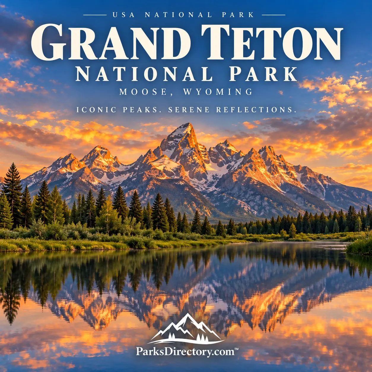
Grand Teton National Park: A Mountain Range, a Valley, and a Long Conservation Struggle
ParksDirectory.com™ | National Park Summary & History
Location, size, and establishment
Grand Teton National Park protects the Teton Range and much of Jackson Hole in northwestern Wyoming. Moose is associated with park administration and visitor facilities, while the town of Jackson lies south of the principal park landscape. The protected area covers approximately 310,000 acres, about 484 square miles. Yellowstone is a separate national park farther north, connected geographically through the John D. Rockefeller, Jr. Memorial Parkway.[1][2]
Grand Teton has two especially important establishment dates. The original national park was created on February 26, 1929, protecting the mountain range and several lakes at its base. On September 14, 1950, Congress united that park with much of Jackson Hole National Monument, proclaimed in 1943, and donated valley lands to create a substantially enlarged park.[1:1]
The difference between the two dates is central to its history. Protecting the peaks was not the same as protecting the valley in front of them. Much of Grand Teton’s conservation story concerns how those landscapes finally came to be managed together.
People in the Teton landscape
Human connections with Jackson Hole extend back more than 11,000 years. Indigenous people traveled into the valley to hunt, fish, and gather plants, responding to the seasonal abundance of a high mountain environment. Material evidence includes stone tools, hearths, and other traces of activity, but the history is broader than the objects that happened to survive.[2:1]
The nineteenth century brought fur trapping, exploration, and surveys. The name Jackson Hole reflects the era of mountain men and the trapping activities associated with David Edward Jackson. Beaver trapping linked this remote valley to distant consumer markets, illustrating that the landscape’s history was connected to national and international economies well before mass tourism.[2:2]
Permanent Euro-American homesteading developed relatively late, beginning in the 1880s. Farming and ranching were difficult because winters were long, summers short, and soils often poorly suited to crops. Some ranchers eventually found that accommodating visitors could provide an alternative income. Dude ranching made the scenic valley itself an economic resource and introduced another way of imagining its future.[2:3]
Why creation of the park took decades
The original 1929 park represented an important achievement, but it left much of the valley outside its boundaries. Conservation advocates worried about development, while opponents feared federal control, loss of tax revenue, or restrictions on established livelihoods. Local opinion was never simply united for or against preservation; people disagreed about the form it should take.[1:2]
John D. Rockefeller, Jr. became deeply involved after visiting the area. Through the Snake River Land Company, he purchased valley properties with the intention of donating them for protection. The plan generated controversy, and the transfer of lands to the federal government took years. Horace Albright and local conservation supporters also played significant roles in keeping the proposal alive.[3]
Franklin D. Roosevelt’s establishment of Jackson Hole National Monument in 1943 intensified the debate. The eventual 1950 compromise combined the earlier park, the monument, and Rockefeller lands into a more comprehensive protected landscape. It also addressed existing uses and other political concerns. Grand Teton thus demonstrates that national parks may emerge not from immediate consensus but from prolonged negotiation over land, livelihood, and public benefit.[1:3][3:1]
Faults, glaciers, and the dramatic mountain front
The Tetons are famous for rising abruptly above the valley with comparatively little visual transition. Their steep eastern front reflects movement along the Teton fault system, where the mountain block rose relative to the adjacent valley. Erosion then shaped the exposed rocks, while glaciers carved canyons and modified the mountain base.[4]
That combination explains the familiar contrast between sharp summits and broad foregrounds. The mountains are not merely high; they are presented against open valley space in a way that makes their relief especially legible. Ancient rocks in the range and comparatively recent mountain-building processes belong to different parts of the same geological history.[4:1]
Glacial activity left another recognizable signature. Lakes at the foot of the range occupy basins associated with ice, while moraines and other deposits record former glacier margins. Canyons lead from those lake environments toward alpine basins and peaks. The scenery is therefore a connected system: mountain walls, valleys, lakes, and sediment-filled lowlands explain one another.[4:2]
The features for which Grand Teton is best known
The Grand Teton and neighboring peaks provide the park’s defining skyline. Their rugged profiles have made the range a landmark for climbers, photographers, and travelers. Mountaineering records preserved by the park document a long history of ascents and exploration, adding a human dimension to terrain often presented solely as a natural spectacle.[5]
Jenny Lake and the other lakes along the mountain base offer a different encounter with the range. Their water reflects the peaks while their shorelines connect forest, glacial deposits, and the mouths of canyons. Jackson Lake introduces a larger water landscape, where the relationship between mountains and the northern valley becomes especially apparent.[1:4][4:3]
The Snake River is equally fundamental. Its channels, floodplain, and adjoining vegetation support habitats very different from exposed alpine slopes. Views of the mountains across river country illustrate why the valley’s protection mattered: the foreground is a living ecosystem rather than empty space beneath a scenic backdrop.[6]
Historic sites also belong among the park’s notable features. Menors Ferry recalls the practical challenge of crossing the Snake River before modern road connections. The associated store, ferry history, and nearby structures make settlement and transportation tangible. Preserved ranch landscapes and historic buildings elsewhere in the park broaden the story from summit exploration to ordinary work and community life.[7]
Wildlife and the importance of the whole valley
Grand Teton lies within the larger Greater Yellowstone ecosystem. Its habitats include sagebrush flats, wetlands, forests, lakes, rivers, and alpine country. Animals move through these environments according to food, shelter, breeding needs, and season. Elk, bison, moose, bears, and many smaller species depend on relationships that extend beyond the frame of a mountain photograph.[6:1]
This ecological perspective helps explain the significance of the 1950 enlargement. A park limited to peaks and a narrow strip of lakes could not represent the full relationship between mountain and valley. Protecting additional land improved the opportunity to conserve connected habitats while preserving the setting that made the Tetons internationally recognizable.[3:2][6:2]
Grand Teton’s distinction is therefore both scenic and historical. The skyline is immediately memorable, but the park also tells a story about the difficulty of protecting a complete landscape. Its lakes, river corridors, ranch structures, wildlife, and open valley explain why the argument over boundaries mattered. The national park that emerged is not simply a collection of mountains; it is a record of how people decided that the country around those mountains deserved protection too.
Sources
Research checked September 6, 2026. The approximately 310,000-acre figure is the rounded park extent reported in NPS historical summaries, not a new cadastral measurement. The neighboring memorial parkway and Yellowstone are not included.
National Park Service, Creation of Grand Teton National Park: A Thumbnail History. ↩︎ ↩︎ ↩︎ ↩︎ ↩︎
National Park Service, Cultural History. ↩︎ ↩︎ ↩︎ ↩︎
National Park Service, An Ideal Project: Countdown, Seven Days. ↩︎ ↩︎ ↩︎
National Park Service, Geologic Activity. ↩︎ ↩︎ ↩︎ ↩︎
National Park Service, History & Culture. ↩︎
National Park Service, Menors Ferry. ↩︎