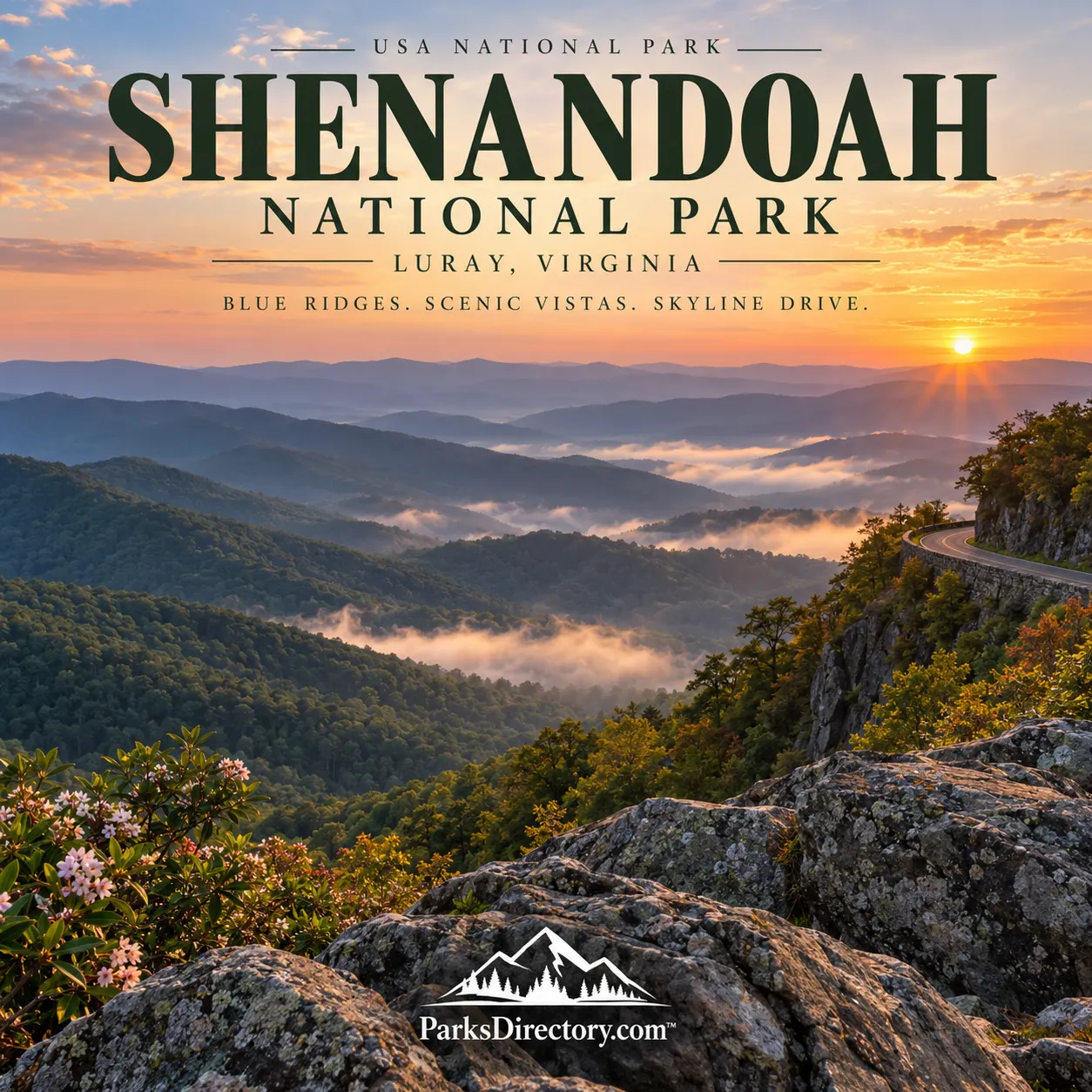
Shenandoah National Park: Summary, History, and the Blue Ridge Landscape
ParksDirectory.com™ | National Park Summary & History
Shenandoah National Park follows Virginia’s Blue Ridge through a landscape of wooded slopes, exposed summits, and sheltered hollows. Its best-known feature, Skyline Drive, turns the mountain crest into a long sequence of views. Yet the park’s history is not simply a story of scenery set aside. It includes mountain communities, government land acquisition, Depression-era labor, segregated recreation, and the recovery of forests and wildlife. Understanding those layers makes the familiar blue ridges far more revealing.[1][2]
Location and total size
The park occupies part of the Blue Ridge Mountains in Virginia, with Luray among its principal gateway communities. Its lands extend into eight counties, including Page, Madison, Rockingham, and Rappahannock. The National Park Service’s statistics page, updated in June 2026, reports a total area of 198,754 acres, equivalent to approximately 311 square miles. This figure describes the national park, not the larger Shenandoah Valley or the entire Blue Ridge region.[3]
The long, narrow layout shapes the experience. Skyline Drive runs along the mountain crest, while trails descend into hollows or climb toward rocky viewpoints. Rather than one central valley surrounded by peaks, Shenandoah is a succession of ridges and watersheds. The road and footpaths offer different readings of the same terrain: distant panoramas from above, and close encounters with streams and forest below.[1:1][4]
When the park was created
Three dates explain Shenandoah’s establishment. Congress authorized the park on May 22, 1926. It was formally established on December 26, 1935, after the acquisition and transfer of sufficient land. President Franklin D. Roosevelt dedicated it on July 3, 1936. Authorization, establishment, and dedication are therefore separate milestones rather than alternative dates for the same event.[3:1]
The idea reflected a desire to make national-park landscapes accessible to large populations in the eastern United States. Creating such a park in a settled region required decisions unlike those associated with reserving extensive federal land elsewhere. Shenandoah would be assembled from a landscape that already contained homes, farms, businesses, roads, and places of recreation.[5][6]
The communities behind the scenery
The Commonwealth of Virginia acquired more than a thousand individual land tracts for donation to the federal government. According to the National Park Service’s account of the Blue Ridge Heritage Project, more than 500 families and individuals were displaced. Eminent domain formed part of that process. The resulting national park preserved a mountain landscape, but its creation also imposed profound costs on people whose homes lay inside the proposed boundary.[5:1]
Older portrayals sometimes reduced residents to isolated stereotypes. Archaeological research offers a more complicated picture: mountain households participated in commerce, used manufactured goods, and lived within varied local economies. Remaining walls, foundations, and domestic objects are therefore evidence of real communities, not decorative traces of a vaguely imagined pioneer past. Their descendants’ histories are essential to understanding how the park came into being.[6:1]
Skyline Drive and the Civilian Conservation Corps
Skyline Drive’s construction began before formal park establishment. Its alignment, overlooks, stonework, and landscaping were carefully planned to shape the visitor’s experience. The road is consequently both a route through natural scenery and an important example of landscape architecture. Curves and stopping places were designed to reveal the mountains gradually rather than simply provide the shortest passage across them.[1:2]
The Civilian Conservation Corps, active here during the Depression era, contributed extensive labor to park development. Enrollees worked on trails, landscaping, picnic grounds, and other facilities. Their work helped turn a proposed park into a place that the public could actually use. The surviving structures and designed landscapes connect an ordinary scenic drive to the larger history of unemployment relief and federal conservation work.[7]
Tourism before and after establishment
Recreation in these mountains did not begin with the National Park Service. George Freeman Pollock’s Skyland Resort attracted visitors seeking mountain air and views before the park was established. Herbert and Lou Henry Hoover’s Rapidan Camp likewise illustrates an earlier recreational use, though one shaped by presidential responsibilities rather than a public vacation business.[8]
Rapidan Camp preserves the setting of the Hoovers’ mountain retreat. The Brown House and other interpreted buildings connect a wooded hollow with national political history. This quieter historical place offers a useful contrast to Skyline Drive: Shenandoah’s significance includes small-scale domestic spaces as well as sweeping, publicly celebrated panoramas.[9]
A history of unequal access
The early park did not offer all visitors equal treatment. Segregated facilities reflected the racial restrictions of the era, and Lewis Mountain became an important place for African American recreation within that system. The park’s interpretation now addresses those experiences and the struggle toward desegregation. Public ownership alone did not automatically produce genuinely shared access.[10]
This history belongs alongside the more familiar narratives of scenic preservation and CCC construction. Asking who could stay, eat, or recreate in particular facilities reveals how the meaning of a national park has changed. Shenandoah’s cultural story includes both the promise of public enjoyment and the barriers that prevented many Americans from experiencing that promise equally.[10:1]
Mountains, waterfalls, and ancient rock
The most recognizable sights include Old Rag, Hawksbill, and the overlooks along Skyline Drive. Old Rag’s rounded, boulder-strewn granite landscape exposes rocks more than a billion years old. Elsewhere, metamorphosed volcanic and sedimentary rocks help produce different ridge shapes and slopes. The apparently gentle mountains are the surviving expression of a much longer geological history.[11]
Water adds another dimension. Dark Hollow Falls and Overall Run Falls represent the cascades tucked into the park’s forested drainages, contrasting with open summit views. For an overview, these features are best understood together: resistant rock shapes the ridges, flowing water cuts through the slopes, and the forest softens the transitions between them.[3:2][11:1]
A recovering and protected natural community
The forests also tell a story of change. Settlement, clearing, and hunting once reduced or eliminated many animals from the region. As habitat recovered and conservation protections developed, several species returned or increased. Today the park provides habitat for animals including black bears, white-tailed deer, and bobcats, as well as numerous resident and migrating birds.[12]
That recovery should not be confused with a return to a landscape without history. Shenandoah’s woods contain former fields, homesites, and old routes, while continued stewardship addresses pressures on the natural environment. Its lasting importance lies in this combination: a national park established in 1935 that preserves beautiful mountains while also recording the complex human choices through which those mountains became public parkland.[6:2][12:1]
Sources
Research checked September 6, 2026. Acreage follows the cited NPS statistics page. This historical overview does not replace current access, trail, or reservation information.
National Park Service, “Skyline Drive History.” https://www.nps.gov/shen/learn/historyculture/skylinedrivehistory.htm ↩︎ ↩︎ ↩︎
National Park Service, “History & Culture.” https://www.nps.gov/shen/learn/historyculture/index.htm ↩︎
National Park Service, “Park Statistics,” updated June 2, 2026. https://www.nps.gov/shen/learn/management/statistics.htm ↩︎ ↩︎ ↩︎
National Park Service, “Old Rag Area Hikes.” https://www.nps.gov/shen/planyourvisit/hikes-oldrag.htm ↩︎
National Park Service, “Blue Ridge Heritage Project.” https://www.nps.gov/shen/learn/historyculture/blue-ridge-heritage-project.htm ↩︎ ↩︎
National Park Service, Audrey J. Horning, “The Displaced.” https://www.nps.gov/shen/learn/historyculture/displaced.htm ↩︎ ↩︎ ↩︎
National Park Service, “Civilian Conservation Corps.” https://www.nps.gov/shen/learn/historyculture/ccc.htm ↩︎
National Park Service, “People.” https://www.nps.gov/shen/learn/historyculture/people.htm ↩︎
National Park Service, “Exhibits” and “The Brown House Virtual Tour.” https://www.nps.gov/shen/planyourvisit/exhibits.htm ; https://www.nps.gov/shen/learn/photosmultimedia/virtual-brown-house.htm ↩︎
National Park Service, “Shenandoah National Park Announces New Online Interactive,” March 13, 2024. https://www.nps.gov/shen/learn/news/shenandoah-national-park-announces-new-online-interactive.htm ↩︎ ↩︎
National Park Service, “Geology.” https://www.nps.gov/shen/learn/nature/geology.htm ↩︎ ↩︎
National Park Service, “Animals.” https://www.nps.gov/shen/learn/nature/animals.htm ↩︎ ↩︎