New River Gorge National Park: An Ancient River and a Landscape of American Industry
ParksDirectory.com™ | National Park Summary & History
A gorge with more than one story
New River Gorge National Park and Preserve brings together a deeply cut Appalachian landscape and the remains of a working industrial region. Its most recognizable view is the great steel arch spanning the gorge, but the park’s history extends far beyond the bridge. River processes, Indigenous connections, railroads, coal mining, forest recovery, and community memory all contribute to its identity.[1][2]
The protected area lies in southern West Virginia, principally in Fayette, Raleigh, and Summers counties. Glen Jean, the community named in the park list, is associated with park administration; the protected landscape follows a much longer river corridor. The NPS geological overview gives approximately 72,186 acres, about 113 square miles, for the national park and preserve together. That is not the acreage of the national-park portion alone.[1:1]
When the protected area was created
The first major federal designation came on November 10, 1978, when Congress established New River Gorge National River. Its purpose centered on protecting the river and the surrounding natural, scenic, and historical resources. The protected corridor extends along approximately 53 miles of the New River.[1:2]
The present National Park and Preserve designation dates to December 27, 2020, under Public Law 116-260. A widely circulated NPS announcement appeared in January 2021, but that announcement was not the legal establishment date. Keeping the two dates separate avoids a common source of confusion.[3][4]
The words “park and preserve” are also significant. They identify different management designations within the larger unit. The redesignation did not turn every acre into land with identical rules, and the total acreage should always be described with that distinction in mind.[4:1]
The river that shaped the landscape
Despite its name, the New River is notable for its long geological history. It flows northward through a landscape that has been uplifted and deeply eroded, cutting a gorge that exposes layers of Appalachian rock. The precise age of a river system is complicated, so a responsible summary need not rely on claims that it is definitively the world’s second-oldest river.[1:3][5]
The gorge also creates an important ecological corridor. Changes in slope, exposure, elevation, and moisture support varied habitats within a relatively concentrated landscape. River margins, wooded ravines, cliffs, and upland forests all contribute to the area’s biological richness.[5:1]
For visitors, this means the scenery is more than a dramatic backdrop for recreation. The steep walls and changing river conditions are visible expressions of the processes that created the park’s habitats and shaped where people could travel, settle, and work.[1:4][5:2]
People before the industrial era
Indigenous history in the New River region long predates railroads and mining. Archaeological evidence and regional histories document sustained human relationships with the river country. The gorge belonged to a broader network of movement and resource use rather than existing as an isolated, untouched canyon.[6]
Later farms, small settlements, and transportation routes added new layers to that history. The park’s cultural resources include more than large industrial structures: homes, schools, cemeteries, and community sites also help explain life in the region. These smaller places make the landscape’s human scale easier to understand.[2:1]
A national-park narrative is strongest when it keeps those layers together. Industrial expansion was transformative, but it did not begin the area’s human story, and abandoned buildings do not mean that community connections ended when employment moved elsewhere.
The railroad changes the gorge
The completion of the Chesapeake and Ohio Railway through the gorge in 1873 opened an important transportation route. Coal could move from mines to distant markets, and towns grew around the linked systems of extraction and rail transport. The river corridor became a place of concentrated industrial activity.[7]
Mining depended on far more than underground labor. Inclines, processing equipment, rail sidings, housing, stores, and services created entire landscapes organized around production. Timber cutting and other industries also changed the valley, leaving evidence that visitors can still encounter among the returning trees.[2:2][7:1]
This history gives New River Gorge a character unlike parks best known for remote wilderness. Its protected scenery includes a region where work, commerce, danger, and family life once filled places that now seem quiet.[2:3]
Thurmond and the railroad world
Thurmond is one of the clearest places to understand that working landscape. It developed as a railroad center, where steam-era operations generated business and employment. The surviving depot and buildings help visitors imagine the activity that once accompanied passing trains and railway servicing.[8]
The transition from steam to diesel locomotives reduced the need for some of the work on which the town depended. Thurmond’s changing fortunes therefore reflect a technological shift as well as a local story. Its history is not simply one of a coal mine opening and closing; the town’s central role was in the railroad system.[8:1]
Community ties continued after the busiest years. The buildings preserve evidence of commerce and administration, while personal accounts help recover the experiences that architecture alone cannot fully explain.[8:2][9]
Nuttallburg and the connections beyond West Virginia
At Nuttallburg, the remains of a mining operation demonstrate how the gorge connected to national industrial ambitions. John Nuttall developed the settlement, and Henry Ford later became involved during the 1920s as he sought coal supplies for his manufacturing interests.[10]
Ford’s effort to control more of his supply chain encountered the practical limits of transportation arrangements. He sold his interests in 1928. Mining at Nuttallburg eventually ended in 1958, leaving structures and landscape traces that explain the scale and organization of the operation.[10:1]
These remains are historically valuable because they connect familiar national names with the labor and geography behind industrial production. A conveyor or rail grade may be less visually spectacular than the gorge rim, but it can reveal an equally important part of the park’s story.[10:2]
The bridge and the best-known views
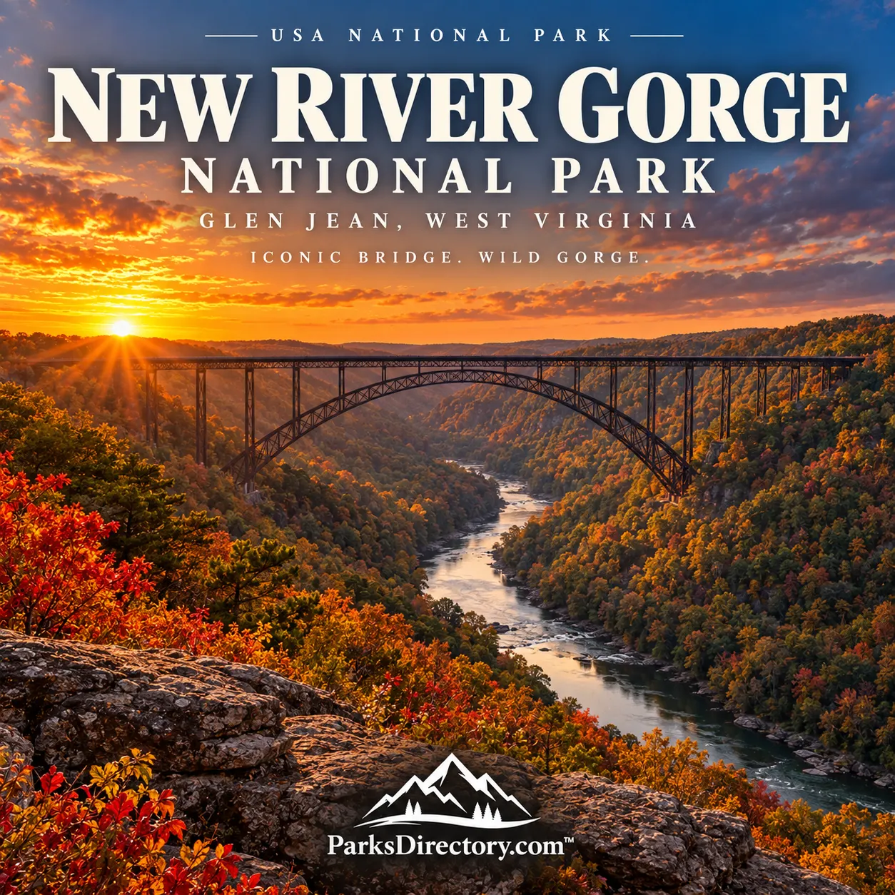
The New River Gorge Bridge opened on October 22, 1977. Its completion transformed local travel by replacing a slow descent into the gorge and climb up the opposite side with a direct high-level crossing. The steel arch became the region’s signature landmark even before the national river was established.[11]
Canyon Rim, Grandview, and Sandstone Falls reveal other dimensions of the park. They emphasize different relationships between river, rock, forest, and distance. The best-known bridge view is consequently an introduction rather than a complete picture of the protected area.[12]
New River Gorge’s distinction is the meeting of natural depth and historical depth. The river explains the terrain; the terrain helps explain industry and settlement; surviving communities and structures explain why the place matters beyond its scenery. The national park and preserve keeps all of those stories in view.
Sources
Research checked September 6, 2026. Acreage is the approximate combined national-park-and-preserve area in the NPS geological overview. The establishment date follows the NPS system’s legislative record, not the later announcement date.
National Park Service, “NPS Geodiversity Atlas—New River Gorge National River, West Virginia.” https://www.nps.gov/articles/nps-geodiversity-atlas-new-river-gorge-national-river-west-virginia.htm ↩︎ ↩︎ ↩︎ ↩︎ ↩︎
National Park Service, “History & Culture.” https://www.nps.gov/neri/learn/historyculture/index.htm ↩︎ ↩︎ ↩︎ ↩︎
National Park Service, “Recent Changes in the National Park System.” https://www.nps.gov/aboutus/recent-changes.htm ↩︎
National Park Service, “New River Gorge Is Now a National Park and Preserve,” January 20, 2021. https://www.nps.gov/neri/learn/news/new-river-gorge-is-now-a-national-park-and-preserve.htm ↩︎ ↩︎
National Park Service, “Natural Features & Ecosystems.” https://www.nps.gov/neri/learn/nature/naturalfeaturesandecosystems.htm ↩︎ ↩︎ ↩︎
National Park Service, “History of Native Americans in the Lower New River Region.” https://www.nps.gov/neri/learn/historyculture/history-of-native-americans-in-the-lower-new-river-region.htm ↩︎
National Park Service, “Park Brochure—Text Only.” https://www.nps.gov/neri/planyourvisit/park-brochure-text-only.htm ↩︎ ↩︎
National Park Service, “Thurmond.” https://www.nps.gov/neri/learn/historyculture/thurmond.htm ↩︎ ↩︎ ↩︎
National Park Service, “Oral History Project.” https://www.nps.gov/neri/learn/historyculture/oral-history-project.htm ↩︎
National Park Service, “Nuttallburg.” https://www.nps.gov/neri/learn/historyculture/nuttallburg.htm ↩︎ ↩︎ ↩︎
National Park Service, “New River Gorge Bridge.” https://www.nps.gov/neri/planyourvisit/nrgbridge.htm ↩︎
National Park Service, “Places To Go.” https://www.nps.gov/neri/planyourvisit/placestogo.htm ↩︎