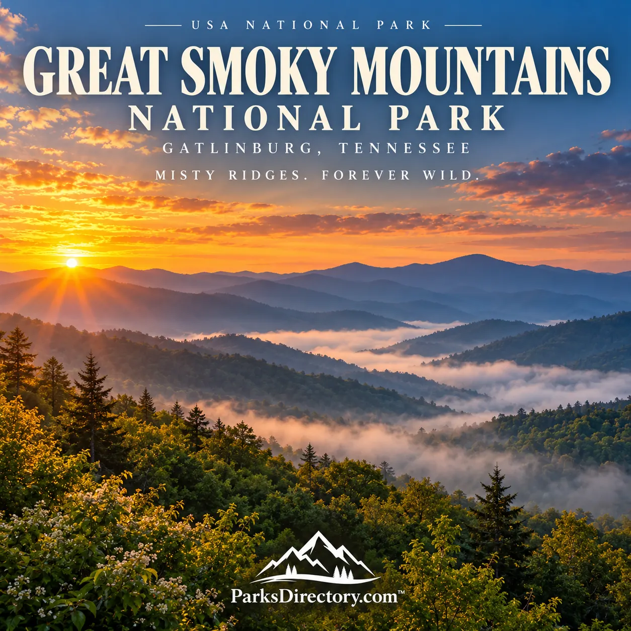
Great Smoky Mountains National Park: Appalachian Forests and the Making of a Mountain Sanctuary
ParksDirectory.com™ | National Park Summary & History
Location, size, and establishment
Great Smoky Mountains National Park straddles the boundary between Tennessee and North Carolina, protecting the forested backbone of the southern Appalachians. Gatlinburg, Tennessee, is a principal gateway and the location of park headquarters, but the park extends far beyond that community. Cherokee, North Carolina, and Townsend, Tennessee, connect travelers with different sides of the mountains. The National Park Service reports 522,427 acres, equivalent to approximately 816 square miles.[1]
Its creation was a process rather than a single celebration. Congress authorized the proposed park in May 1926; by 1934, the two states had transferred enough land for its full development. President Franklin D. Roosevelt formally dedicated it on September 2, 1940, at Newfound Gap. Those stages explain why accounts of the park’s beginnings mention several dates. Its principal attractions are sweeping mountain views, exceptional forest diversity, waterfalls, wildlife, and preserved traces of Appalachian community life.[2]
A homeland before a national park
The Smokies have a human history extending thousands of years before their designation. Archaeological objects, including ancient projectile points, document a much longer relationship between people and these mountains than the surviving cabins alone suggest. Cherokee history and cultural connections remain fundamental to understanding the landscape; they are not simply a preliminary chapter before European American settlement.[3]
That continuity is especially visible at Kuwohi, the park’s highest peak. In 2024, the U.S. Board on Geographic Names restored its Cherokee name following a proposal from the Eastern Band of Cherokee Indians. Previously widely identified as Clingmans Dome, the mountain holds longstanding spiritual and historical significance. The restored name encourages visitors to see the summit as more than a panoramic viewing platform.[4]
The mountains also supported farms, mills, churches, schools, and interconnected rural communities. Their residents were not uniformly isolated from the wider world. Timber markets, transportation improvements, and regional commerce gradually reshaped daily life. The cultural landscape preserved today includes both intimate family histories and the consequences of industrial change.[3:1]
From private land to public protection
Creating this park required assembling privately owned property. Large logging companies controlled extensive forests, while many smaller parcels contained homes and farms. National protection therefore depended on fundraising, purchases, surveys, and difficult negotiations rather than merely setting aside an existing federal reserve.[2:1]
Tennessee and North Carolina appropriated money, local supporters organized campaigns, and schoolchildren contributed small donations. A major matching gift from the Laura Spelman Rockefeller Memorial helped make the purchases possible. Yet the achievement carried a human cost: families left established homes, and those temporarily allowed to remain faced restrictions on traditional ways of using the land. The park’s conservation story deserves to include those losses alongside its public benefits.[2:2]
During the Great Depression, the Civilian Conservation Corps helped turn the new reserve into a functioning national park. Roads, trails, bridges, campgrounds, and restoration work made the mountains accessible while providing employment. This built heritage remains part of the Smokies’ identity, linking forest conservation to the social history of the 1930s.[2:3][3:2]
Ancient mountains, extraordinary life
The rounded ridges can look gentle from a distance, but they contain a complicated geological record. Ancient sediments were compressed, folded, and altered during mountain-building episodes; subsequent erosion shaped the valleys and ridgelines visible today. Their beauty is therefore not the result of a single event, but of repeated construction and wearing down across immense spans of time.[5]
Elevation creates striking ecological contrasts. A journey from a sheltered cove to the crest moves through conditions resembling those found across much larger distances in eastern North America. Warm lower forests, cool northern hardwood communities, and high spruce-fir environments occupy different slopes. Moisture, aspect, soils, and stream networks add further variety.[6]
The park is particularly celebrated for wildflowers, native trees, salamanders, and the less conspicuous abundance of fungi and invertebrates. Black bears are its best-known large mammals, but an exclusive focus on bears misses much of what makes the Smokies exceptional. A decaying log, a shaded seep, or a spring flower display can reveal more about this biological richness than a distant animal sighting.[6:1]
The landscapes visitors remember
Newfound Gap offers a clear introduction to the park’s geography and history. The state boundary follows the mountain crest, and the nearby Appalachian Trail links the Smokies to a much longer eastern mountain corridor. The Rockefeller Memorial also connects this celebrated viewpoint with the park’s fundraising and dedication story.[1:1][2:4]
Kuwohi provides a high-elevation perspective, with forested ranges receding toward the horizon. Its observation tower is a recognizable landmark, but the mountain’s weather, vegetation, and Cherokee associations give it significance beyond the structure itself. The change from lower valleys to the summit makes the park’s vertical variety especially apparent.[4:1]
Cades Cove is known for its broad valley, historic buildings, and open views framed by mountains. Oconaluftee offers another important encounter with cultural history, while Cataloochee, Cosby, and Greenbrier reveal different combinations of community remains, streams, and forest. These areas should be understood as distinct landscapes rather than interchangeable scenic stops.[7]
The less-developed country near Fontana preserves reminders of logging and settlement amid recovering woodland. Elsewhere, cascades and waterfalls draw attention to the water that continually shapes the mountain environment. Together, these places explain why the park rewards both broad overlooks and close examination of the forest floor.[7:1]
A living conservation project
The Smokies are not a sealed museum of an untouched past. Some forests escaped intensive cutting, while others regrew after logging and agriculture. Historic buildings need preservation, and streams and wildlife populations require continuing research. The landscape contains recovery as well as survival.[3:3][6:2]
The park’s All Taxa Biodiversity Inventory, begun in 1998, reflects a particularly ambitious idea: conservation improves when managers understand the full range of life, not only familiar animals. Scientific work has documented organisms previously unknown from the park and species new to science. That continuing discovery gives the Smokies a forward-looking purpose.[6:3]
For a national-parks traveler, the essential story is the relationship between a vast living forest and the people who have called it home, exploited it, defended it, and studied it. The ridges supply the famous view; the deeper significance lies in everything those ridges shelter.
Sources
Research checked September 6, 2026. Acreage follows the park’s statistics page; square miles are a rounded conversion. Authorization, operational establishment, and ceremonial dedication are distinguished above.
National Park Service, Park Statistics. ↩︎ ↩︎
National Park Service, Stories: Creating a National Park. ↩︎ ↩︎ ↩︎ ↩︎ ↩︎
National Park Service, History & Culture. ↩︎ ↩︎ ↩︎ ↩︎
National Park Service, Kuwohi Name Restored to the Highest Peak in the Smokies. ↩︎ ↩︎
National Park Service, Geodiversity Atlas: Great Smoky Mountains. ↩︎
National Park Service, Nature & Science. ↩︎ ↩︎ ↩︎ ↩︎
National Park Service, Places To Go. ↩︎ ↩︎