Great Basin National Park: Ancient Pines, Mountain Islands, and an Underground World
ParksDirectory.com™ | National Park Summary & History
Location, size, and establishment
Great Basin National Park occupies part of the South Snake Range in eastern Nevada, near the community of Baker and the Utah state line. Its 77,180 acres, approximately 121 square miles, protect a mountain landscape rising above the broad valleys of the interior West. Despite its name, the park does not encompass the entire geographical Great Basin; it preserves a representative piece of that much larger region.[1][2]
The national park was established on October 27, 1986. Its predecessor, Lehman Caves National Monument, dated to January 24, 1922. The 1986 legislation incorporated the monument into the new park and expanded the conservation focus from a small cave-centered site to a landscape that included high mountains, forests, streams, and ancient trees.[3][4]
That contrast remains the key to understanding Great Basin. A visitor may first hear about Lehman Caves or bristlecone pines, but the park’s significance lies in how its underground, mountain, and desert environments fit together.
What the name Great Basin means
The Great Basin is defined principally by drainage. Much of the region’s water does not reach an ocean; instead, it remains within interior basins, evaporates, or sinks into the ground. Mountain ranges and valleys repeat across a broad portion of the western United States, creating the basin-and-range pattern from which the region takes its familiar appearance.[2:1]
The national park illustrates how misleading the word desert can be when applied too simply. Its lower country is dry, but increasing elevation brings cooler conditions, woodland, mountain forests, and alpine terrain. The Snake Range functions as a high-elevation island within an arid setting, supporting communities very different from those of the surrounding valley floor.[1:1][2:2]
The contrast is visible from a distance. Wheeler Peak rises above the lower country, and the change from open valley to mountain slopes makes the importance of elevation immediately apparent. Snow, streams, sheltered canyons, and exposure create variation within an area small enough to appear compact on a map but large enough to contain several distinct ecological worlds.[1:2]
Human history before the park
Indigenous people have lived in the wider Great Basin for thousands of years, adapting to changing climates and resources. The regional history includes hunting and gathering communities, farming associated with the Fremont cultural tradition, and continuing Shoshone and Paiute connections. Pine nuts, water sources, seasonal movements, and knowledge of local environments were all important to life in this country.[1:3][5]
Settlers, miners, ranchers, and other newcomers transformed the region during the nineteenth century. Their activities altered access to resources and introduced new pressures on Indigenous communities. Mining remains, ranching histories, and other cultural traces are part of the park’s significance, even when they receive less attention than its celebrated natural features.[5:1]
The history of Lehman Caves became especially closely associated with tourism. Absalom Lehman’s exploration and promotion brought the caves to wider attention in the 1880s. Calling that episode a rediscovery is more appropriate than assuming it represents the first human awareness of the underground environment. It marks the beginning of a particular commercial and documented history, not necessarily the beginning of all knowledge of the site.[6]
From a cave attraction to national protection
President Warren G. Harding proclaimed Lehman Caves National Monument in 1922. Early administration and concession operations differed considerably from modern ideas of cave protection. Visitors entered with limited lighting and infrastructure, and some activities damaged formations or left debris. Improvements to entrances, paths, and lighting gradually changed the public experience.[4:1]
Clarence and Beatrice Rhodes were important figures in this early tourism history. They guided visitors and developed accommodations near the cave. Later National Park Service administration brought cleanup, rehabilitation, and a stronger emphasis on conserving the underground resource. The cave’s history thus shows a transition from curiosity and entertainment toward a more protective interpretation of a fragile environment.[4:2]
The broader national-park idea took much longer to achieve. When Congress established Great Basin in 1986, Lehman Caves National Monument ceased to exist as a separate designation and its lands became part of the park. Protection now included the surrounding mountain setting, recognizing that the cave was one component of a much richer natural and cultural landscape.[3:1]
Lehman Caves and the work of water
Lehman Caves remains one of Great Basin’s best-known features. Its chambers contain stalactites, stalagmites, columns, draperies, and unusually notable shield formations. Mineral-rich water created this variety over long periods, depositing material in forms influenced by fractures, dripping, flow, and the physical setting of each passage.[1:4]
The cave is not simply a hollow space decorated with stone. Its formations record relationships between rock, water, air, and time. The surface environment matters because water entering the ground connects underground conditions with the landscape above. That connection is one reason a national park extending beyond the entrance can offer more meaningful protection than a purely cave-centered boundary.[3:2]
Historical alterations also form part of what is encountered underground. Tunnels, trails, and lighting made tours possible but changed the cave environment. The conservation story includes efforts to limit damage while allowing people to appreciate a place that is easily harmed and slow to recover. A broken formation cannot be replaced on a human timetable.[4:3]
Ancient pines and the mountain landscape
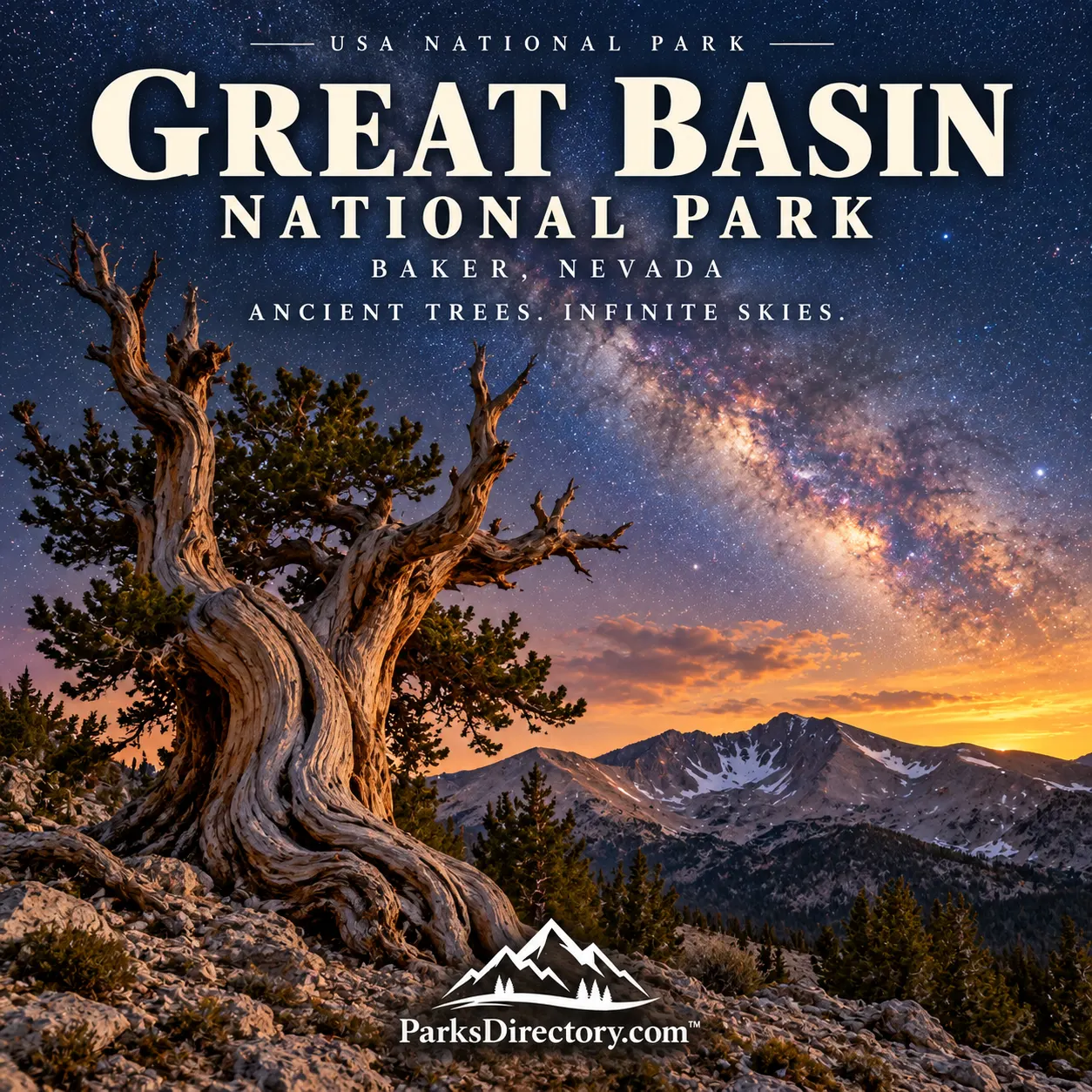
The park’s Great Basin bristlecone pines are another defining attraction. Their twisted trunks and partly weathered forms reflect survival in demanding high-elevation conditions. Some trees live for thousands of years, making the groves a powerful setting for thinking about time on a scale between human history and geological history.[1:5]
Wheeler Peak and its surrounding high country reveal the influence of ice as well as aridity. Lakes such as Stella and Teresa occupy glacially shaped basins, while exposed ridges and alpine vegetation contrast with the woodland below. The mountain’s prominence provides a clear demonstration that Nevada’s landscapes include far more than low desert.[1:6]
Other features widen the story: Lexington Arch, mountain creeks, aspen groves, and traces of mining and water engineering illustrate the diversity contained within the park. These places should be understood as geographical and historical features rather than a checklist with guaranteed access. Conditions and infrastructure can change while their significance remains.[1:7][5:2]
Why Great Basin matters
Great Basin’s history is a story of expanding perspective. A cave became a monument; a monument became part of a mountain park; a compact protected area came to represent relationships across a much larger interior region. The 1986 establishment date marks the point when that broader vision received a national-park designation.[3:3]
Its most memorable features invite different ways of measuring time: ancient pines, slowly developing cave formations, glacial landforms, and traces of human adaptation. Together they create a park whose quiet reputation should not be mistaken for a lack of complexity. Great Basin is distinctive because it makes the interior West’s hidden variety visible, from valley drainage to mountaintop and from forest to underground chamber.
Sources
Research checked September 6, 2026. The 77,180-acre figure follows current NPS park descriptions. Square miles are rounded. This article distinguishes the national park from the much larger geographical Great Basin.
National Park Service, Great Basin Park Brochure Formats. ↩︎ ↩︎ ↩︎ ↩︎ ↩︎ ↩︎ ↩︎ ↩︎
National Park Service, The Great Basin. ↩︎ ↩︎ ↩︎
National Park Service, Great Basin National Park Act of 1986 and Management. ↩︎ ↩︎ ↩︎ ↩︎
National Park Service, Lehman Caves National Monument. ↩︎ ↩︎ ↩︎ ↩︎
National Park Service, History & Culture. ↩︎ ↩︎ ↩︎
National Park Service, Great Basin Timeline. ↩︎