Cuyahoga Valley National Park: A River Landscape Reclaimed for Nature, History, and Public Life
ParksDirectory.com™ | National Park Summary & History
Location, size, and the path to national-park status
Cuyahoga Valley National Park follows the Cuyahoga River between Cleveland and Akron in northeastern Ohio. Brecksville is associated with park administration, while numerous communities lie within or beside its wider landscape. The National Park Service press kit reports approximately 32,950 acres, or 51.5 square miles, across Cuyahoga and Summit counties. Its roughly twenty-mile length and irregular ownership pattern make it a river corridor, not a compact block of undeveloped federal land.[1]
Congress authorized Cuyahoga Valley National Recreation Area on December 27, 1974; the National Park Service records its official designation in June 1975. It was renamed Cuyahoga Valley National Park on October 11, 2000. The 1974 and 2000 dates therefore describe different stages of the same protected landscape. National-park status did not replace a previously empty valley: it recognized a place already shaped by communities, transportation, farming, industry, and recreation.[1:1][2]
More than twelve millennia of human history
Human occupation of the Cuyahoga Valley extends back more than 12,000 years. Early communities adapted to changing environments, and later Indigenous peoples established seasonal camps and more permanent settlements. European traders and missionaries entered a region already connected by travel, exchange, and political relationships. Federal removal of Native American nations subsequently transformed the valley’s cultural geography, a history that belongs alongside its better-known canal and farming stories.[2:1]
The valley became part of the Connecticut Western Reserve settlement landscape. Farms, villages, and transport routes linked local production with expanding urban markets. The Ohio & Erie Canal accelerated commercial development, and the Valley Railway strengthened those connections. At the same time, the valley became a recreational escape for city residents. Its modern park identity thus grew from a longstanding tension between using the landscape economically and valuing it as open space.[2:2]
Why this valley became a national park
By the 1960s, suburban expansion threatened the remaining rural and natural character of the corridor. Local advocates and political leaders sought federal protection. The widely publicized 1969 Cuyahoga River fire, which occurred north of the present park, became a broader symbol of environmental degradation. It should not be relocated into the park’s boundaries, but its influence on public concern forms part of the regional conservation story.[2:3]
The recreation area’s establishment also reflected the idea of bringing national-park experiences closer to large urban populations. Its purpose was not to exclude every sign of human activity. Instead, it aimed to protect scenic, historic, natural, and recreational values in a lived-in valley. That approach explains the continued presence of roads, villages, farms, partner-managed properties, and other uses. Cuyahoga Valley is an important example of conservation through cooperation across a working landscape.[1:2]
A river, ravines, and a varied natural setting
The Cuyahoga River forms the park’s organizing feature. Tributaries descend through ravines from surrounding uplands, creating a landscape more varied than the word “valley” may suggest. The region lies where the Appalachian Plateau meets the Central Lowlands, and repeated glaciation helped shape its physical form. Steep-sided valleys, narrow hills, wetlands, and forested slopes occur close together.[3]
This terrain supports a mosaic of habitats. Deciduous forests stand beside wetlands, active farmland, and former fields undergoing ecological succession. That diversity helps explain the variety of plants and animals found within a park surrounded by urban development. The value of the protected corridor is not that it reproduces an untouched prehistoric landscape. It is that it retains and restores ecological functions in a region where open space is continually contested.[3:1]
Brandywine Falls and the stories within the scenery
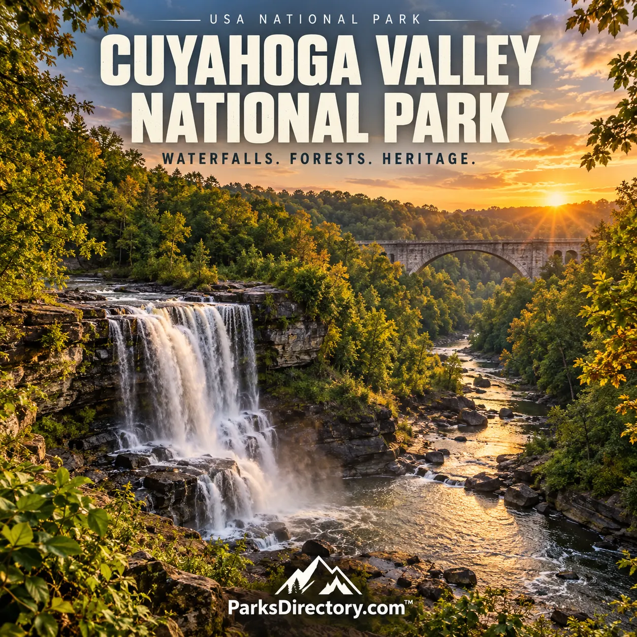
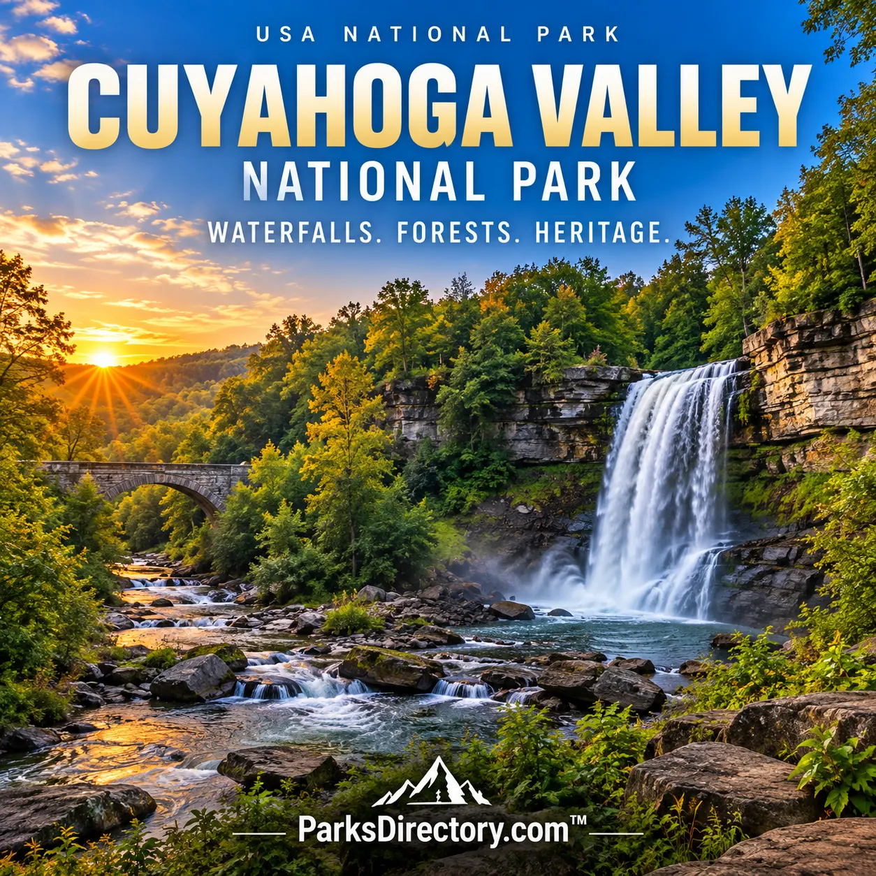
Brandywine Falls is one of the park’s most recognizable sights. Its beauty is inseparable from both geological structure and human use. Early settlers saw falling water as a source of power, and George Wallace built a sawmill near the falls in 1814. Additional mills and a village followed. Much of that settlement later disappeared, illustrating how one location can move from industrial center to scenic landmark while retaining traces of its earlier life.[4]
The falls are therefore more than a picturesque stop. They provide a compact introduction to the park’s central historical theme: natural features influenced economic activity, and changing economic systems subsequently reshaped how those features were valued. A visitor looking only at moving water sees one layer of the place. The mill history adds another, showing why the national park protects cultural resources alongside scenery.[4:1]
Canal landscapes, forests, and familiar landmarks
The Ohio & Erie Canal Towpath Trail follows the historic canal route and is among the park’s defining features. It turns an old transportation corridor into a way of encountering the valley’s present landscape. Canal-related places and interpretation help explain the movement of goods, people, and ideas through northeastern Ohio. The trail also demonstrates how infrastructure can acquire a new public role without losing its historical identity.[5]
The Ledges, woodland paths, and additional waterfalls offer a contrasting introduction to the valley’s terrain. The Boston Mill Visitor Center and Canal Exploration Center connect these outdoor experiences with the area’s stories. Historic farms and the railway add further dimensions. Rather than presenting one dominant monument, Cuyahoga Valley assembles many connected places into a broader account of a river landscape.[1:3][6]
The mixture can be surprising to travelers whose idea of a national park comes primarily from the American West. Here, a road crossing, village, or cultivated field is not automatically an intrusion to be mentally removed from the scene. Such elements may be integral to the resource being protected. Understanding their history makes the park more coherent, not less natural or less worthy of attention.
The significance of a park near cities
Cuyahoga Valley shows that national significance can emerge from restoration and continuity rather than extreme remoteness. Its creation protected a vulnerable corridor close to major population centers, while its later redesignation emphasized the enduring importance of that work. The park preserves opportunities to study how ecological recovery, historic preservation, recreation, and community life can coexist.[1:4][3:2]
Its approximately 51.5 square miles contain no single story of simple wilderness rescue. Instead, they hold a more complicated history of Indigenous presence, removal, settlement, transportation, industry, environmental damage, and collective protection. That complexity is its strength. Cuyahoga Valley expands the meaning of an American national park by demonstrating that a familiar, inhabited landscape can still deserve national care and can continue to change without losing the reasons it was protected.
Sources
Research checked September 6, 2026. The acreage is the approximate total reported in the NPS press kit and includes federal and nonfederal ownership within the park landscape.
National Park Service, History & Culture. ↩︎ ↩︎ ↩︎ ↩︎
National Park Service, Nature & Science. ↩︎ ↩︎ ↩︎
National Park Service, Brandywine Falls. ↩︎ ↩︎
National Park Service, Cuyahoga Valley National Park. ↩︎
National Park Service, Trail Maps. ↩︎