Crater Lake National Park: A Volcanic Lake, a Sacred Landscape, and a Preservation Campaign
ParksDirectory.com™ | National Park Summary & History
Location, size, and establishment
Crater Lake National Park lies in the Cascade Range of southwestern Oregon, within Klamath County. The National Park Service’s geological overview reports approximately 183,224 acres, equivalent to about 286 square miles. That area includes much more than the lake: forests, volcanic slopes, meadows, and mountain terrain surround the water-filled caldera. The park was established on May 22, 1902, making its legal history substantially older than the National Park Service itself, which was created later.[1]
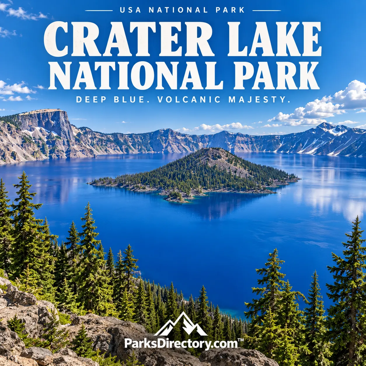
The park’s identity centers on a striking contrast. What appears to be a serene blue lake occupies the remains of a volcano whose collapse was catastrophic. Crater Lake is the deepest lake in the United States, and its water is supplied principally by rain and snow. Its extraordinary appearance is therefore inseparable from a specific geological and hydrological history. The protected landscape is not merely a scenic reservoir or a lake in an ordinary mountain basin.[2]
The eruption that changed the mountain
Approximately 7,700 years ago, a major eruption of Mount Mazama emptied enough material from beneath the volcano that the mountain collapsed, producing a caldera. Over time, precipitation accumulated within that basin. The event reorganized the surrounding landscape and left extensive volcanic deposits that remain important to understanding the park. The steep enclosing walls provide a visible cross-section through the mountain’s earlier development.[1:1][2:1]
The term “crater” is familiar, but the distinction between a crater and a caldera matters here. The lake occupies a large collapse basin, not simply a hole blasted out by one explosion. Subsequent volcanic activity added features within the basin, while erosion, weather, and water continued to modify it. The present scene records several stages of change. Its apparent stillness should not obscure the sequence of powerful processes that produced it.[1:2]
Human connections before national-park status
People knew this mountain landscape long before nineteenth-century visitors publicized it. Archaeological evidence, including materials buried beneath eruption deposits, links human presence to the period before Mount Mazama’s collapse. The region holds deep cultural significance for Indigenous peoples, including Klamath communities. Any historical overview that begins with a European American “discovery” would leave out the longest and most important part of that relationship.[3]
Gold prospectors encountered the lake in 1853 and described its unusual color. Other visitors and published accounts gradually brought it to wider outside attention. Those events belong to the history of publicity and exploration by newcomers, rather than the first human knowledge of the place. Keeping that distinction clear allows the park’s cultural history to remain more accurate and more respectful of the communities whose connections preceded federal ownership and tourism.[3:1]
William Steel and the campaign for protection
William Gladstone Steel became a central figure in the effort to establish the national park. After seeing the lake in 1885, he pursued protection for seventeen years. His campaign helped transform personal enthusiasm into sustained public advocacy. Crater Lake’s eventual designation in 1902 demonstrates that admiration for a remarkable view did not automatically produce preservation; political work and a durable argument for public value were necessary.[3:2]
The park’s archives preserve records of that campaign and the management history that followed. Reports, plans, photographs, and museum collections document how people studied the lake, developed access, and decided what should be protected. They also reveal that a national park is an institution as well as a landscape. Its scenic identity may feel timeless, but the roads, buildings, research programs, and preservation priorities encountered by visitors have their own histories.[4]
The lake and its most recognizable features
The lake’s blue color, enclosed setting, and dramatic depth are its most famous qualities. Wizard Island, rising from the water, makes the volcanic story especially visible. The caldera rim offers changing perspectives on the relationship between the island, the lake surface, and the surrounding walls. Differences in light, snow cover, and weather can transform the scene without changing its essential geological arrangement.[1:3][2:2]
Rim Drive provides a sequence of overlooks rather than a single definitive view. This matters because the lake is not equally legible from every angle: one perspective emphasizes cliffs, another open water, and another the contrast between the caldera and the wider Cascade landscape. The National Park Service also highlights mountain summits, wildflower meadows, dark skies, and sites beyond the lake itself. These features broaden an understanding of a park often reduced to one famous photograph.[5]
Rim Village is an important cultural landscape as well as a viewing area. Its historic district includes Crater Lake Lodge and records the development of visitor services near the rim. The buildings and designed spaces show how earlier generations attempted to provide access to a powerful natural setting. Their significance lies not simply in age, but in the way architecture and landscape planning shaped the experience of seeing the lake.[5:1]
Forests and a larger mountain environment
The National Park Service describes a landscape that includes high mountain terrain and forest around the caldera. These surroundings help place the lake within a functioning environment rather than treating it as an isolated spectacle. Snow, vegetation, wildlife, and the seasonal availability of water influence the wider park. Looking beyond the rim also reveals how much protected land exists outside the image most commonly associated with Crater Lake.[1:4][6]
This broader perspective is particularly useful when considering the park’s size. The roughly 286 square miles are not an arbitrary scenic buffer. They preserve parts of the volcanic system and the surrounding habitats that give the lake its context. A view across blue water becomes more informative when connected to the slopes that receive precipitation, the deposits left by eruptions, and the forests growing on an altered mountain landscape.
Why Crater Lake matters
Crater Lake combines several kinds of national significance in a compact, recognizable setting. It preserves evidence of a major volcanic event, an exceptional freshwater lake, enduring Indigenous connections, and an influential early conservation campaign. The park’s 1902 establishment secured a public framework for protecting these resources, but it did not create their importance. That importance reaches backward through human memory and much deeper geological time.
For a traveler interested in national-park history, the most rewarding approach is to hold those timescales together. The lake is both a beautiful destination and the result of destruction; the rim is both a natural boundary and a designed visitor landscape; the park is both a federal institution and a place with older cultural meanings. Those overlapping stories explain why Crater Lake remains far more than an unusually blue body of water.
Sources
Research checked September 6, 2026. Area follows the cited NPS geological overview and is rounded for readability.
National Park Service, Geodiversity Atlas: Crater Lake National Park. ↩︎ ↩︎ ↩︎ ↩︎ ↩︎
National Park Service, Crater Lake National Park. ↩︎ ↩︎ ↩︎
National Park Service, History & Culture. ↩︎ ↩︎ ↩︎
National Park Service, Collections. ↩︎
National Park Service, Places To Go. ↩︎ ↩︎
National Park Service, Nature & Science. ↩︎