Congaree National Park: The History of a Great Southern Floodplain Forest
ParksDirectory.com™ | National Park Summary & History
Location, area, and the dates of protection
Congaree National Park occupies a forested floodplain in central South Carolina, southeast of Columbia and near Hopkins. It extends along the Congaree River toward the meeting of the Congaree and Wateree rivers. The National Park Service describes the park as encompassing more than 26,000 acres, roughly 41 square miles of bottomland and upland forest. This figure describes the whole park, not exclusively the oldest trees or a permanently flooded swamp.[1]
The landscape received federal protection as Congaree Swamp National Monument on October 18, 1976. It became Congaree National Park on November 10, 2003. Both dates matter: 1976 marks the successful campaign to protect the forest through the National Park System, while 2003 marks national-park designation. Dropping “Swamp” from the name also makes it easier to understand the place correctly. Much of Congaree is a bottomland forest periodically covered by floodwater, rather than land that remains underwater throughout the year.[2][3]
People in the floodplain
Congaree takes its name from the Congaree people, whose history belongs to the wider region long before the park’s creation. Archaeological evidence indicates human presence for at least 10,000 years. Over time, communities used rivers, cultivated crops, and developed settlements and trade relationships. European colonization brought disease, warfare, dispossession, and profound changes to those societies. The National Park Service notes the limits of surviving knowledge about the Congaree people, a reason to avoid presenting their history as a simple, fully documented narrative.[1:1]
Later land use included plantations, ferries, roads, and attempts to control water for agriculture. The floodplain also served as refuge for enslaved people who escaped into its difficult terrain. These histories challenge the idea that a dense forest has no human story. Congaree’s cultural record is sometimes visible in physical remains, but it also includes experiences that left few buildings or monuments. Its apparent quiet should not be confused with an absence of people or conflict.[1:2]
How the forest escaped complete destruction
Commercial logging threatened the enormous trees that now give Congaree much of its identity. Francis Beidler acquired extensive floodplain holdings, and logging removed valuable cypress. Difficult and costly extraction eventually interrupted those operations, leaving a significant remnant of old forest. Survival was therefore partly contingent: these trees were not protected from the beginning by universal recognition of their ecological importance.[1:3]
Harry Hampton, a newspaper editor and outdoorsman, became a leading voice for preservation. He helped draw public attention to the exceptional forest, and a later generation of activists strengthened the campaign when logging again threatened it. The eventual monument designation reflected advocacy by local residents, conservation organizations, scientists, and political supporters. Congaree’s history is a reminder that national significance may first be recognized by people who know a landscape closely, rather than by travelers searching for famous scenery.[1:4][2:1]
A forest renewed by water
The park’s most important natural process is flooding. Water carries sediment and nutrients across the bottomlands, helping sustain the productive forest. Oxbow lakes, sloughs, creeks, and slightly higher ground create a varied environment even though the landscape appears relatively flat. Small changes in elevation influence how frequently a place floods and which plants can grow there. The forest’s diversity is therefore closely tied to differences that may be measured in inches rather than dramatic mountain relief.[3:1]
Bald cypress and water tupelo occupy wetter settings, while other parts of the floodplain support large hardwoods and impressive loblolly pines. Along the northern bluffs, upland forests introduce another ecological story, including surviving longleaf pine. Fire and flooding play different roles in these neighboring habitats. Congaree is best understood as an ecological mosaic, not a uniform stand of trees extending unchanged from one boundary to another.[3:2]
The features for which Congaree is famous
Congaree is especially known for preserving the largest intact expanse of old-growth bottomland hardwood forest remaining in the southeastern United States. Its towering canopy and champion trees give visitors a sense of the scale once possible across much larger areas of the region. The distinction is about a surviving forest community, not simply a collection of unusually large individual specimens. Fallen trees, young growth, standing trunks, and seasonal water all belong to the same system.[4]
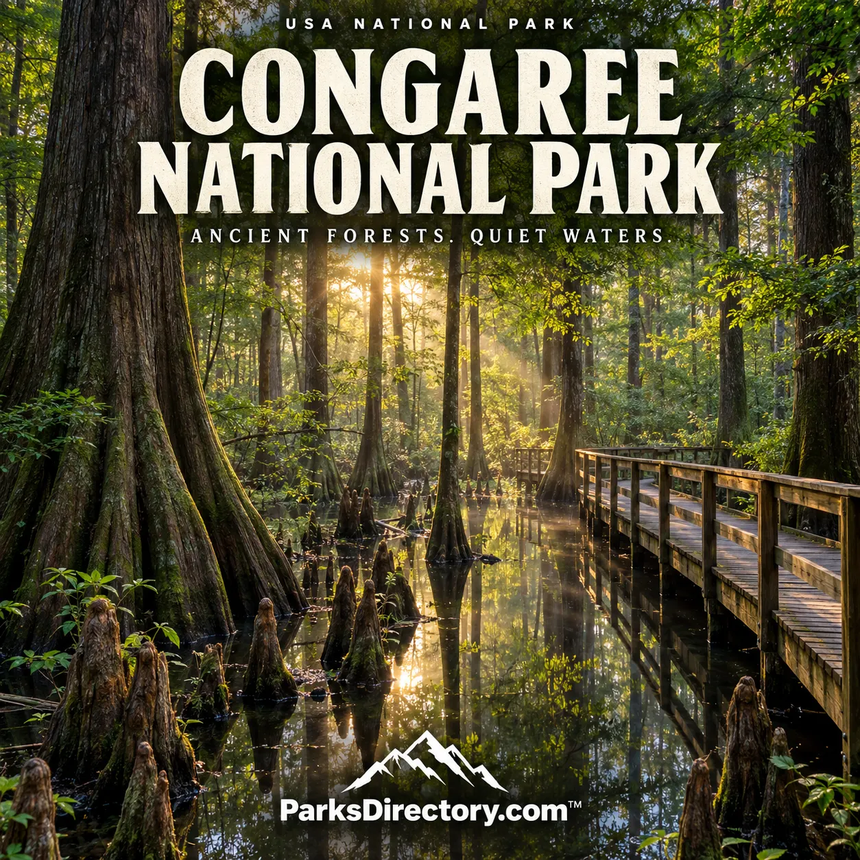
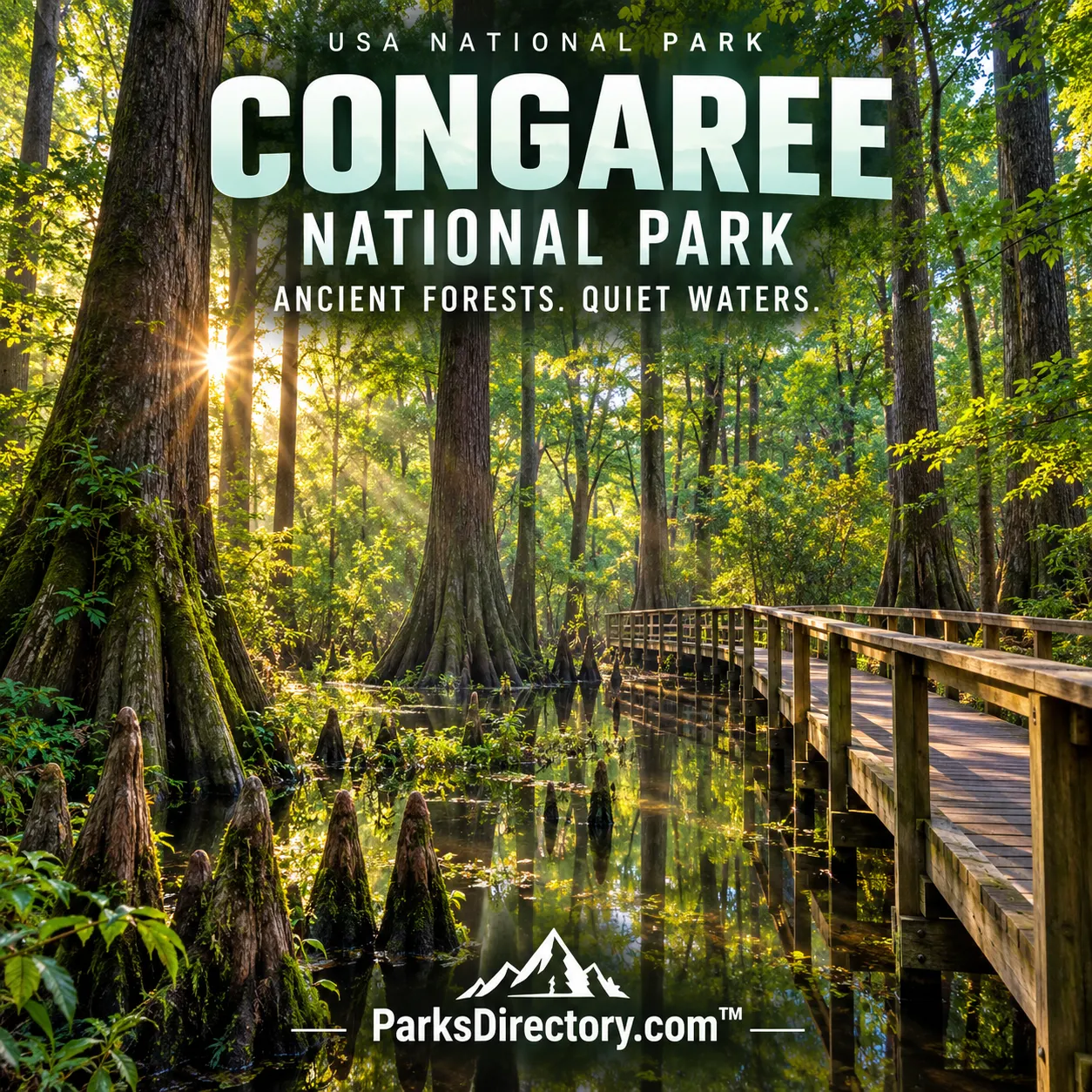
The Boardwalk provides one of the clearest introductions to that environment. It connects visitors with the floodplain while making it easier to appreciate the relationships among roots, water, understory, and canopy. Weston Lake, Cedar Creek, and the park’s trails reveal different expressions of the forest’s wetland character. Their appeal is often cumulative: a reflection, a change in light, or the sound of a bird can be as memorable as a distant scenic overlook in a mountain park.[5]
Another celebrated feature is the seasonal display of synchronous fireflies. Their coordinated flashing has made Congaree known far beyond the audience interested primarily in old-growth trees. It is a biological event rather than a permanent attraction, and its timing and management vary. In a summary of the park’s significance, the important point is the relationship between a protected habitat and a natural phenomenon that depends on suitable conditions.[6]
Reading a quieter national-park landscape
Congaree rewards a different style of attention from parks built around a single monumental landmark. Its most notable qualities can be difficult to convey through one photograph. Height is experienced by looking upward from the forest floor; water movement may be slow or temporarily absent; ecological complexity becomes clearer through repeated observation. These characteristics are not shortcomings. They are precisely what makes the park a valuable counterpoint to the familiar image of national parks as cliffs, peaks, and canyons.[3:3][4:1]
The legal history also changes how the landscape can be read. The trees are both living organisms and survivors of particular economic decisions and preservation campaigns. The same floodplain holds Indigenous history, the legacy of slavery, logging history, and modern conservation. Protecting it therefore preserves more than scenery. It keeps open a place where natural processes and difficult human histories can be considered together.
Congaree’s defining achievement is the preservation of a large, functioning forest where water still shapes the ground and old trees remain part of an evolving ecosystem. Its 1976 protection and 2003 redesignation recognize that significance. For anyone building a broader understanding of American national parks, it demonstrates why quiet landscapes can carry exceptional ecological and historical weight.
Sources
Research checked September 6, 2026. The approximate area follows the cited NPS description; it is not a current cadastral survey.
National Park Service, People in the Floodplain. ↩︎ ↩︎ ↩︎ ↩︎ ↩︎
National Park Service, Geodiversity Atlas: Congaree National Park. ↩︎ ↩︎
National Park Service, Nature & Science. ↩︎ ↩︎ ↩︎ ↩︎
National Park Service, Congaree National Park. ↩︎ ↩︎
National Park Service, Trail Information. ↩︎