Acadia National Park: A Coastal Landscape Shaped by Ice, Community, and Conservation
ParksDirectory.com™ | National Park Summary & History
Location, area, and establishment
Acadia National Park occupies a remarkable meeting place of mountains and Atlantic shoreline on the coast of Maine. Its best-known landscapes lie on Mount Desert Island near Bar Harbor, but the park also includes the Schoodic Peninsula on the mainland and land on Isle au Haut. The National Park Service fact sheet describes more than 47,000 acres, approximately 73 square miles, including federally owned land and privately owned land protected by conservation easements. This is a distributed coastal park, not one uninterrupted block of public land.[1]
Acadia’s creation involved three important dates. President Woodrow Wilson proclaimed Sieur de Monts National Monument on July 8, 1916. Congress established Lafayette National Park on February 26, 1919, and the name became Acadia National Park on January 19, 1929. Therefore, 1919 marks national-park designation, while 1916 marks the beginning of its federal monument protection. Its current name recalls the wider historical region of Acadia rather than a single mountain or settlement.[1:1]
A landscape with a much older human history
The park’s legal history represents only a recent chapter in a place inhabited for more than 12,000 years. Wabanaki peoples have enduring relationships with the coast, islands, forests, and waters that visitors now associate with Acadia. Fishing, gathering, travel, and cultural traditions connected these places long before the appearance of modern roads, summer estates, or park boundaries. Understanding this continuity prevents the coast from being mistaken for an empty wilderness first discovered by tourists.[2]
European exploration and colonization brought changing names, competing territorial claims, and new settlements. Later communities depended on fishing, shipbuilding, farming, quarrying, and other coastal industries. During the nineteenth century, artists and travelers helped make Mount Desert Island fashionable as a summer destination. Hotels and large seasonal homes transformed parts of the island. The scenery that attracted visitors also became increasingly vulnerable to development, creating the conditions for a distinctive land-preservation campaign.[2:1]
How private gifts became a national park
Unlike many western parks established from extensive federal holdings, Acadia emerged through the protection and donation of numerous separate properties. Charles W. Eliot, George B. Dorr, and other conservation advocates worked to prevent valued scenery from being subdivided or developed. Their efforts required negotiations, fundraising, and cooperation across a patchwork of ownership. Dorr became particularly associated with the long campaign to secure federal protection and with the park’s early administration.[3]
Land gifts were central to this process. They preserved mountain summits, shoreline, woodland, and access routes that might otherwise have developed separately. The result was not a park drawn around one monumental feature, but a connected collection of landscapes assembled over time. That origin remains visible in its irregular geography and in its relationships with neighboring towns. Acadia’s history demonstrates how local organizing and private philanthropy can create a public landscape without erasing the practical complexity of land ownership.[3:1]
Granite mountains and the work of glaciers
Acadia is particularly known for the close relationship between its rounded mountains and the sea. Its bedrock records a much older geological history, while repeated glaciation helped shape the landscape visitors recognize today. Ice smoothed and scraped rock, deepened valleys, and left deposits and scattered boulders. Subsequent changes in sea level helped create the modern coast, where headlands, coves, islands, and tidal environments sit close to forest and freshwater lakes.[4]
This geology is best appreciated by comparing different places rather than searching for a single defining formation. Smooth granite surfaces on exposed summits contrast with broken coastal ledges. Long lakes occupy low areas between ridges, while the shoreline reveals the ongoing work of waves, weather, and tides. Acadia’s relatively modest elevations do not diminish its visual impact: the open horizon makes a mountain summit feel expansive, and the proximity of salt water gives even a short landscape transition unusual variety.[4:1]
The sights that define Acadia
Cadillac Mountain is the park’s best-known summit and an important viewpoint over Mount Desert Island and the surrounding archipelago. Jordan Pond, framed by wooded slopes and the rounded Bubbles, represents the quieter inland landscape. Along the eastern shore, Sand Beach, Thunder Hole, and Otter Cliffs show different expressions of the Atlantic coast, from a sheltered beach to wave-cut rock and exposed cliffs. These places explain why Acadia is celebrated for variety rather than enormous scale.[5]
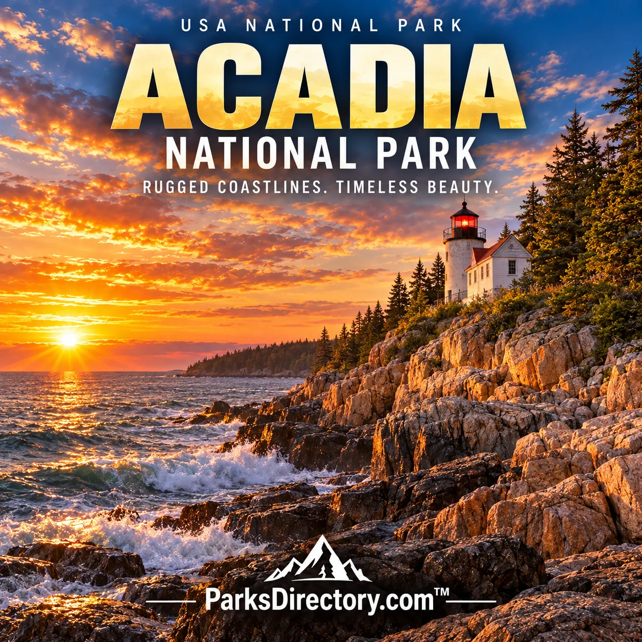
Other districts broaden that identity. Bass Harbor Head Light Station combines maritime history with a rocky coastal setting. Schoodic Peninsula offers a mainland perspective on the same ocean-shaped environment, while Isle au Haut emphasizes the park’s island character. Their separation matters historically as well as geographically: Acadia protects several related coastal settings, each with its own relationship to nearby communities. No single loop road contains the whole meaning of the park.[5:1]
Carriage roads, designed scenery, and a lasting legacy
Acadia’s historic carriage roads are among its most distinctive cultural features. Their carefully graded routes, stonework, and bridges show how landscape design became part of conservation rather than merely a way to reach scenic destinations. Associated especially with John D. Rockefeller Jr., the network provided a form of travel separated from automobiles and remains an important part of the park’s identity. These routes are historic structures in a living landscape, not simply recreational surfaces.[6]
The roads also reveal a productive tension in Acadia’s history. Visitors often experience the park as natural scenery, yet access, viewpoints, bridges, and protected corridors reflect deliberate human choices. Conservation here has involved deciding both what should remain undeveloped and how people should encounter it. The result is a landscape where craftsmanship and ecological protection coexist, although their maintenance requires continuing care rather than a one-time act of preservation.[6:1]
Acadia’s greatest significance lies in that combination. It protects Atlantic habitats and glacially shaped scenery, preserves evidence of long human relationships with the coast, and records an influential experiment in assembling a national park through donated land. Its famous views are therefore more than attractive compositions of ocean and granite. They are the visible outcome of deep natural history and generations of decisions about what should remain shared, accessible, and protected.
Sources
Research checked September 6, 2026. Acreage follows the scope and approximate figures of the cited sources; it is not a current boundary survey. Square-mile conversions are rounded.
National Park Service, Park Fact Sheet. ↩︎ ↩︎
National Park Service, History & Culture. ↩︎ ↩︎
National Park Service, Founding Acadia. ↩︎ ↩︎
National Park Service, Nature & Science. ↩︎ ↩︎
National Park Service, Places To Go. ↩︎ ↩︎
National Park Service, Carriage Roads. ↩︎ ↩︎